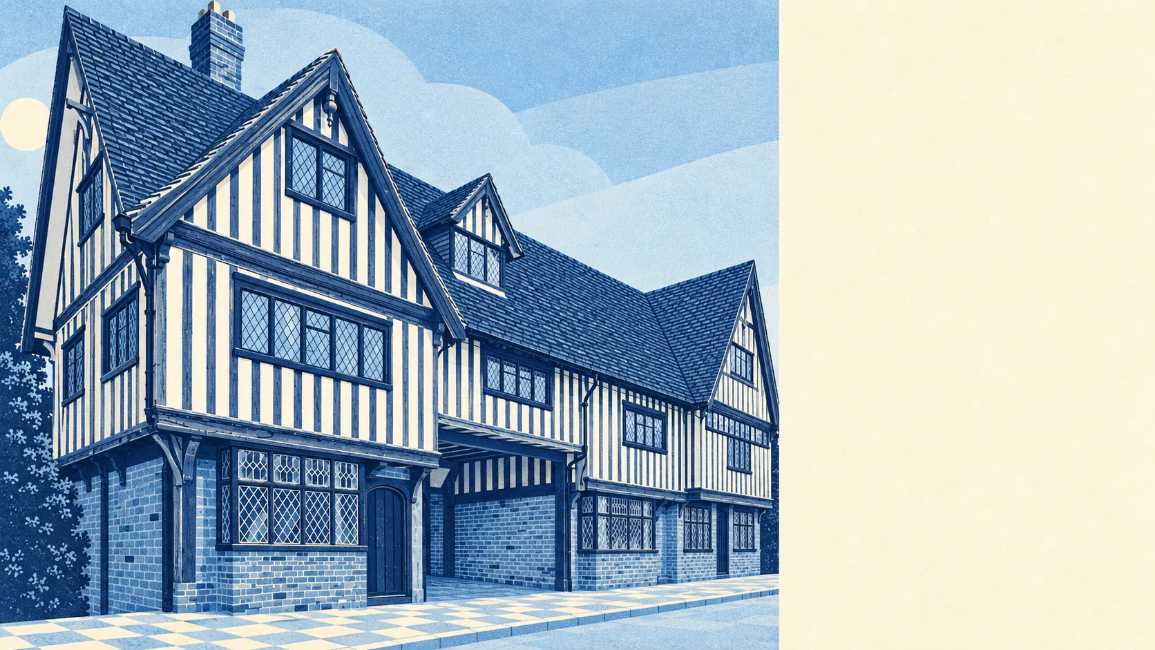
The area around Brenchley is the reason anyone pays Brenchley prices. Nearly all of it is protected countryside. Green space is a short walk from most front doors. Water is about as close. A high street is the one thing missing. People come here for the fields, not the shopping.
The green space is close and plentiful. The nearest publicly accessible green space is typically about 300 metres away, and the average home has eight or nine within a kilometre. Nobody here drives to a park. The park is what's outside the window, with a stile in it.
Water sits at the same distance. The nearest blue space, meaning ponds, streams, lakes and rivers, is typically about 300 metres away, with about 25 within a kilometre. That's a lot of ponds for a village whose flood maps are otherwise dull. Most of them are the kind that attract dog walkers and herons rather than paddleboarders.
For longer outings, the National Cycle Network is typically about 480 metres away, and about 52% of postcodes sit close to it. None of the area is ancient woodland. The countryside here is farmed, hedged and walked, not wild.
The shops tell the other half of the story. Across the wider postcode district, the rated-premises figures count 119 shops, 21 pubs and 6 restaurants. That covers far more ground than the village itself, and it shows where life happens: in the surrounding towns and villages, with Brenchley as the quiet end of the district. Within Brenchley itself, the valuation list carries 20 rateable business premises. Those are premises on the list, not a count of businesses open and trading today, and the list is short.
Eating out is a small field. All 7 rated food premises in the area hold the top food hygiene score, and none sit in the low bands. A small village with a perfect record.
Across the Tunbridge Wells council area, fine-particle air pollution averaged about 6.8 micrograms per cubic metre in 2024. That's a council-wide figure, not a Brenchley reading.
The big designation is the landscape. About 97% of the area sits inside the High Weald Area of Outstanding Natural Beauty, so the views are protected by law, not just by luck. There are no sites of special scientific interest and no ancient woodland inside the area. That's an honest absence. The protection here is about the whole landscape rather than one rare meadow or old copse.
The feel comes from the scatter of places around it. Matfield shares the parish. Horsmonden and Capel sit close by, and the map is dotted with hamlets like Kipping's Cross, Hazel Street, Yew Tree Green and Castle Hill, the sort of names that sound made up until you're lost among them. A medieval ringwork in nearby woodland is a scheduled monument, the kind of history you walk past with a dog and only notice on the second visit.
Private outdoor space is generous. The area has about 579,000 square metres of garden per 1,000 residents, and that's the real measure of outdoor space here. Most homes don't just face the countryside. They come with a decent slice of their own.
The surroundings are Brenchley's real strength. It's protected, green, wet in the right places and walkable from the door, and the missing high street is the price of all that quiet.