Borehamwood is surrounded by more green than its reputation lets on, and that is the best thing about the town. Most front doors are a short walk from a park. Water is never far either. Private gardens are a decent size. The high street is busy and working, and the countryside beyond is open farmland with no protected designations.
Homes in Borehamwood are on average roughly 140 metres from the nearest public green space, with about 28 green spaces within a kilometre. That is a park, a playing field or a patch of common at the end of most roads. For a town built at density to house Londoners after the war, the planners left a remarkable amount of grass between the estates.
Water is about 410 metres away on average, with around 18 bits of blue space, from ponds and streams to lakes, within a kilometre of a typical home. None of it is a riverfront. It is enough to give the dog a destination, and for small children to find a duck.
The nearest stretch of the National Cycle Network averages about 4.6 kilometres away, and no postcode in Borehamwood counts as close to it. Cyclists heading for long, signed routes will be riding on roads to reach them, which partly explains why so few people cycle to work.
The rated-premises records list 784 shops, 36 pubs and 75 restaurants across the area, alongside 937 offices. That is a working town centre with a commuter fringe, more office workers and errands than nights out. Borehamwood has more shops than pubs by a wide margin.
Hertsmere's fine-particle air pollution averaged about 8 micrograms per cubic metre in 2024, a figure for the whole council area and its main roads.
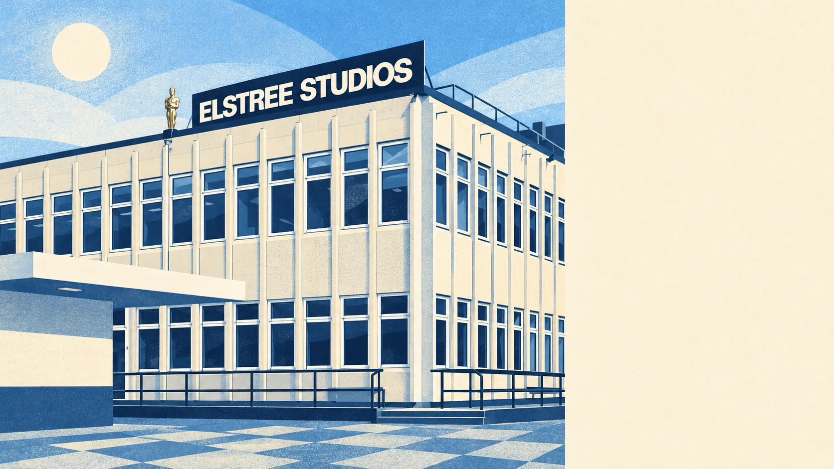
The town's character comes from its two industries, film and television on one side and post-war housing on the other, with hotels serving studio visitors and audiences. Beyond the edges the surroundings change quickly. Elstree Village has the area's only conservation area. Radlett and Shenley lie to the north, and Arkley, Edgware and Stanmore to the south and east. Within reach are Aldenham House and Bentley Priory, both on the register of historic parks and gardens, and the Romano-British pottery site at Brockley Hill, where an 18th-century obelisk commemorates Cassivellaunus. Borehamwood's neighbours have the history, and Borehamwood has the shopping.
Private gardens add up to about 89,000 square metres per 1,000 residents across Borehamwood. For a town of terraces and flats that is a real amount of lawn, and it means the public parks are a bonus.
The valuation list records 1,025 rateable premises across the area. Offices are the largest group at 426, then shops at 195 and warehouses at 50. The list counts each rateable unit under its main use, which is why it gives a smaller shop total than the wider premises records, and an entry on it means a building with a use attached, whether or not anyone is trading there today. The office count is the part a visitor would not guess, because the studios' neighbours include a lot of desk space.
Of the 195 food premises the hygiene inspectors have rated, about 78% hold the top score and about 5% fall into the lowest bands. Most of what the town sells to eat gets the top sticker on the door.
No area of outstanding natural beauty, site of special scientific interest or ancient woodland overlaps Borehamwood. The green around it is ordinary Hertfordshire farmland and parkland, which means no designated landscape to admire. It also means no designation to object when someone wants a footpath.
Borehamwood's surroundings are among its strongest assets. With a park round the corner, water nearby and a garden out the back for most residents, the green comes without any rural-village price.