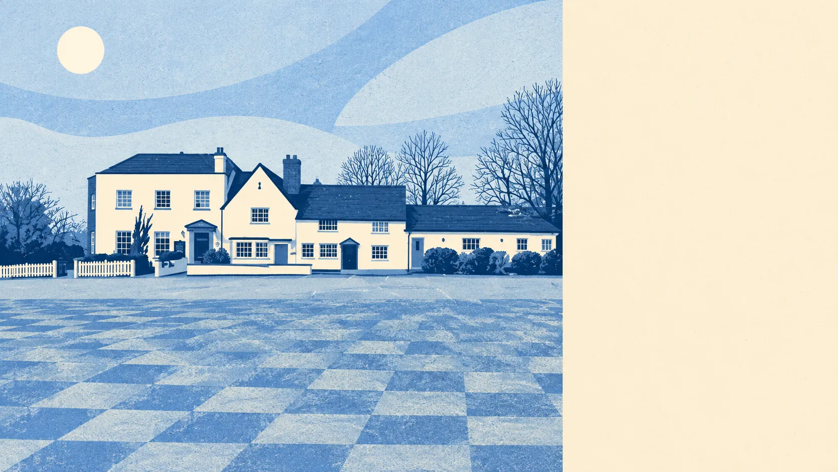
The area around Binfield is green enough to be a little smug about. There's a green space around the corner from most front doors. Water is barely further away. The hamlets nearby have names that sound made up. None of the countryside here is officially special, which is part of why it's so easy to use.
Green space sits about 130 metres from the average Binfield home, and there are around 20 green spaces within a kilometre. That's closer than most people's recycling bins get to the kerb. Dog walkers here don't need the car, and a Sunday walk doesn't need planning.
Water is close too. The nearest blue space, meaning ponds, lakes, streams and the like, sits about 235 metres from the average home, and there are around 26 within a kilometre. That's more water within reach than a village without a river through the middle has any right to.
Longer rides are harder work. The National Cycle Network is about 8.4 kilometres from the average home, and no postcode sits close to it. Ancient woodland covers 0% of the area. The countryside here is farmland and managed green space, not old-growth forest, and cyclists will be driving to the start of their ride.
For a sense of the high street, the ownership records for company-held property across the wider RG42 postcode district list 61 shops, 12 pubs and three restaurants. The pubs outnumber the restaurants four to one, which tells you how evenings out tend to go around here.
For air quality, the local council area as a whole recorded fine-particle pollution of about 7.2 micrograms per cubic metre in 2024. That's a council-area figure, not a reading for any particular street.
The surroundings take their character from the names on the map. The hamlets and neighbourhoods around Binfield include Billingbear, Popeswood, Amen Corner, Nuptown, Tickleback Row and Newell Green, which together sound like a vicar's crossword. South Hill Park and the grounds of Newbold College, formerly Moor Close, are both on the register of historic parks and gardens. A bowl barrow on Bill Hill is the nearest scheduled monument, so someone has been burying people round here since long before the cul-de-sacs arrived. This page also covers Waltham St Lawrence, which adds a second village to the same patch of Berkshire.
Private gardens are generous. The area has about 219,000 square metres of garden for every 1,000 residents. That's a lot of lawn to mow, and plenty of room for a trampoline without the neighbours ever seeing it.
The council's business rates list counts 74 rateable premises in the area. Offices form the largest group at 21, followed by shops at 19, with a scattering of other uses. These are premises on the valuation list, not a count of businesses currently trading. Binfield has more offices than shops, which fits a village where half the workforce works from a spare bedroom and only needs the shops for milk.
Eating out here carries little risk of food poisoning. Of 25 food premises with a hygiene rating, about 72% hold the top score of five and none sits at the low end. For a village this size, a clean sheet at the bottom counts for more than a long list of places to eat.
None of the area falls within an area of outstanding natural beauty, a site of special scientific interest or ancient woodland. That's not a mark against it. Binfield's green space is the ordinary kind that people use every day, rather than the protected kind that comes with a car park and an information board.
The surroundings are one of Binfield's real strengths. There's grass and water within a few minutes' walk of almost every home, and the only thing missing is a reason to drive anywhere else for a walk.