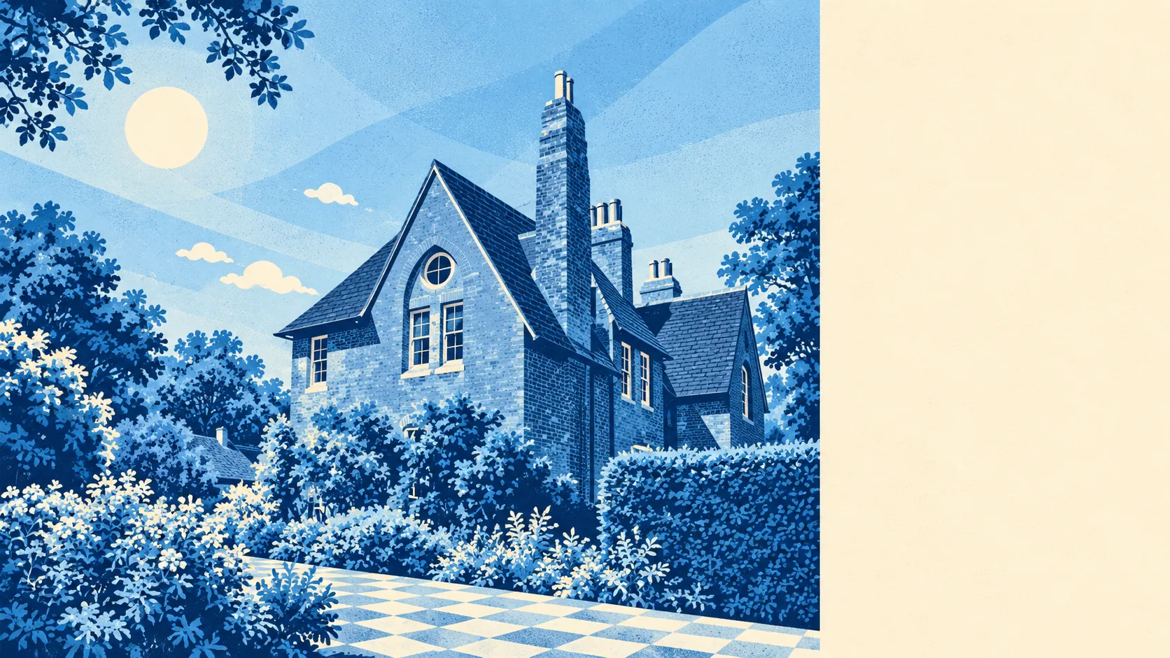
The area around Bexleyheath is very green for a town this busy. A park or patch of green is a couple of minutes from most front doors. The back gardens are big and plentiful. The shopping streets fill the middle and the parks surround them. It is a suburb where you can walk the dog without first fighting your way through the traffic.
On average, the nearest public green space is about 150 metres from a Bexleyheath home, and there are about 22 within a kilometre. The biggest is Danson Park, between the southern half of the town and Welling, with Lamorbey Park and Foots Cray Place farther south towards Sidcup. The heath was enclosed in 1814, and the town has been giving bits of it back as parks ever since.
The nearest water, a pond, lake or stream, is about 730 metres from the average home, with about 8 such spots within a kilometre.
The National Cycle Network is farther off, about 3.8 kilometres from the average home, and no postcode in the area is close to it. Bexleyheath has no ancient woodland of its own, and anyone after older trees has to leave town to find them.
Bexleyheath's rated premises include 201 shops, 30 restaurants and 13 pubs, so it is a town built for shopping more than for going out drinking. Across the wider rating list there are 462 business premises, with shop premises by far the largest group at 199 and offices next at 50. Those are premises on the valuation list, and an empty unit counts the same as a busy one, so the list shows how the town centre was built more than what is open on any given day.
The Food Standards Agency has rated 158 places to eat and buy food in Bexleyheath. About 75% have the top hygiene score and about 1% sit at the bottom of the scale.
The London Borough of Bexley's average level of fine particles in the air was about 8.5 micrograms per cubic metre in 2024, a figure for the whole borough.
The town has a clear shape. The clock tower and the pedestrianised shopping streets are in the middle, Christ Church is close by, and the Parkhurst and Red House Lane conservation areas are on the quieter, older side. Crook Log runs along Watling Street on the western edge and joins Welling so closely that only the street signs mark where one stops and the other starts. Upton, once a hamlet at the edge of the heath, is now just part of the suburb. Barnehurst, Bexley, Crayford and Blackfen surround the town, each its own place, though from the street it is hard to tell where one ends.
Private gardens are where most of the green space really is. Across the area there are about 78,000 square metres of private garden for every 1,000 residents, and about a third of the ground is back garden. The interwar builders gave nearly every semi a proper plot, and much of the town's green is behind the fences.
None of the area is covered by an area of outstanding natural beauty, a site of special scientific interest or ancient woodland. The green here is parks, playing fields and gardens, owned by the borough or by the people who live next to them, which is exactly what a suburb is supposed to have.
The area around Bexleyheath is one of the town's real strengths: parks within a short walk, big gardens behind the houses, and enough green that the shopping centre seems like an exception in the middle of it.