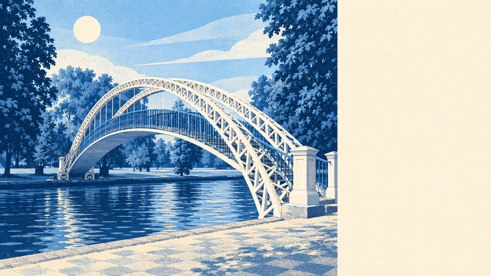
Bedford is a well-wired county town with messy crime figures, and the wiring wins. There are two stations in town and a bus stop around most corners. Nearly nine homes in ten can get gigabit broadband. Recorded crime, though, runs about a quarter above the rest of its own borough, and that number deserves a proper look.
Bedford Rail Station is on the Midland Main Line, with intercity services to London St Pancras and Thameslink stopping trains that run through the capital to Gatwick and Brighton. Bedford St Johns, the smaller station, takes the Marston Vale Line to Bletchley, and Kempston Hardwick and Stewartby stations serve the edges. Even so, at the 2021 census only about 2% of people in work got there by train, against 44% who drove and 29% who worked from home. The area's 684 bus stops average 34 weekday departures each, and 87% of them still get a bus at the weekend. Gigabit broadband reaches 88% of premises and superfast 97%, and every postcode gets a 4G or 5G signal from at least one operator. Brighton is one train away, and most of Bedford still gets in the car.
In the year to May 2026, Bedford recorded about 122 crimes per 1,000 people, roughly 25% above the average for Bedford Borough as a whole. The mix looks a lot like the national one. Violence and sexual offences make up 35% of the total, almost exactly the England and Wales share, and that broad category includes common assault where nobody was injured. Vehicle crime is a little higher than the national share, at 7% against 5%, and so is shoplifting, at 9% against 8%. Across the whole force area over the same twelve months, Bedfordshire Police charged someone in about 10% of cases against 12% nationally, which puts it 36th of 42 forces. Comparing a county town with its own surrounding villages will always make the town look busier, though a gap of a quarter is more than that effect alone.
The Land Registry recorded 753 sales in the twelve months to late May 2026, with a typical price of £327,000. Flats went for about £165,000, terraces about £289,000, semis about £344,000 and detached houses £500,000. Semis were the most-sold type, so they set the median. Council tax leans low: Band B is the most common and 45% of homes are in Band A or B. Renting across Bedford Borough as a whole cost about £1,170 a month in April 2026, 4% more than a year earlier, with one-beds around £795 and three-beds around £1,250.
The council-tax list shows an unusually even spread of home types: 27% flats, 26% terraces, 24% semis, 17% detached and 5% bungalows. About 23% of homes were built before 1930. Of the homes that have an energy certificate, 55% are rated A to C and 11% are E or worse. Most of the town is on gas, with 74% heated by mains gas, but 14% of homes rely on electricity alone. Particulars tend to put that fact in their smallest print.
Bedford has 264 listed buildings, 13 of them Grade I and 16 Grade II*, plus five conservation areas covering parts of Bedford itself, Biddenham, Cardington, Elstow and Kempston. Change a window or add an extension in one of those and you need a planning officer's approval as well as a builder. There are 16 scheduled monuments too, including the Bedford Castle motte and bailey and the Moot Hall at Elstow. The castle was razed in 1224 and only the mound survives, which may be the most generous demolition permit the town has ever issued.
The Great Ouse runs through the middle of town, and it has form. The Great Flood of Bedford in 1823 swamped most of the town, and a stone marker in the wall of the former Phoenix pub on St Johns Street records how high the water reached. Today, about 14% of postcodes are rated high risk on at least one flood indicator, surface water included, and 22% are rated medium. Measured only by the Environment Agency's river-and-sea flood zones, 4% fall in Zone 2 and under 1% in Zone 3, while 12% of postcodes have flooded at some point on record. The gap between those numbers is mostly rain with nowhere to go, and the river-zone maps were never drawn to show it.
At the 2021 census, 54% of households owned their home and the median age was 38. Modelled household income averaged about £56,000 gross in the year to March 2023. That income is an average across the whole area, and the town varies a lot from one neighbourhood to the next. Queens Park, west of the centre, was Bedford's first industrial suburb. Putnoe, Goldington and Brickhill fill the north, Kingsbrook and Cauldwell the south, and Biddenham and Great Denham spread out westwards. This page also covers the river villages, including Sharnbrook, Harrold, Pavenham, Great Barford and Willington, each further from the station and from the town's crime figures.
Green space is close to almost every home, with the nearest park or playing field about 140 metres from the average front door and water about 430 metres away. Bedford Park, just north of the centre, still uses its Victorian bandstand and cricket pavilion. Priory Country Park follows the riverbank to the east, and both hold Green Flag status. The Embankment gardens line the river through the centre, and from February to October rowers take to the water for the regatta season. Plenty of people here clearly regard a cold river at dawn as a hobby.
Bedford is a good fit for anyone who needs London, Milton Keynes or Cambridge within reach, wants a semi near a park and can work happily from a decent broadband line. Anyone who puts a low crime count above everything else will feel more settled in Sharnbrook or Harrold than in the middle of Harpur or Castle.
Bedford is better than its reputation and worse than its timetable. It is excellent at getting you to other places, and it is less careful about what happens on its own streets. Buy here if the station matters more to you than the crime map.