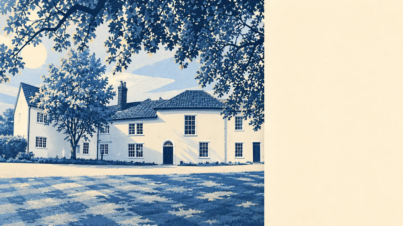
Becontree gives a buyer a sturdy interwar house and almost no heritage red tape standing between them and an extension. That freedom is most of the reason to move here. Planners protected one old village core and left the rest of the estate to its owners. The neighbourhood around the new loft is a harder sell. The area still ranks among the most deprived third of England, though it has climbed since the last count.
The heritage map is close to empty. Within Becontree there are 15 listed buildings, two of them grade II* and 13 grade II, with no grade I entries and no scheduled monuments. There is one conservation area, Dagenham Village, and Historic England has one listed building on its Heritage at Risk register. For the owner of an ordinary terrace, an extension goes through the council's normal planning process, with no conservation officer weighing up the window frames. The London County Council designed these houses to match their neighbours, and owners have spent a century using that freedom to make sure they don't.
The people are young and mostly renting. The 2021 Census found about 43% of households owned their home, with a third renting from the council or a housing association and nearly a quarter renting privately. The median age is 34. The Office for National Statistics models gross household income before tax at about £63,000 a year for the financial year to March 2023, averaged across the area. That figure looks healthier than the rest of the picture. About 21% of households are lone-parent families, about one in six is overcrowded and 24% of adults have no qualifications. On the government's 2025 index of multiple deprivation, Becontree's neighbourhoods average out at around the third decile, where the first decile is the most deprived tenth of England. In 2019 they averaged closer to the second. It is the one part of the Becontree story that has improved without anybody needing planning permission.
The flood figures come from two different measures, and they disagree. About 62% of Becontree's postcodes rate high on at least one Environment Agency flood indicator, and that count includes surface water, the kind that pools on a road after a heavy downpour. The river-and-sea flood zones are far smaller. About 2% of the area is in flood zone 3 and 1% in zone 2, and the zone drawn for future climate change takes in about 29%. The last recorded flood came in December 1974, when a defence on a main river failed. So the 62% is mostly about drains and rainfall, with the river itself a much smaller share.
The estate is easier to get around than its size suggests. Becontree has its own tube station, and nearby rail stations include Chadwell Heath, Goodmayes, Barking and Dagenham Dock. There are 132 bus stops in the area. The average stop sees about 444 departures on a weekday and about 25 in the peak hour, and every stop has a weekend service. The 2021 Census found about 34% of workers drove to work, 11% took the bus, 8% the train and 18% worked from home. About 35% of households have no car. Gigabit broadband reaches about 93% of premises, and every postcode gets 4G or 5G from all the operators.
Crime is level with the borough. The Metropolitan Police recorded a rate of about 114 crimes per 1,000 residents in the year to May 2026, against about 112 across Barking and Dagenham. Vehicle crime makes up about 10% of recorded offences here, against about 5% across England and Wales. The third of households without a car have one less thing to report.
The Land Registry recorded 184 sales in the twelve months to May 2026, at a median of about £375,000. Flats went for about £223,000, terraced houses for about £381,000 and semis for about £408,000. Prices fell about 0.2% over the year and are up about 15% over five years. The semi is the estate's luxury model, and in practice it is a terrace that ran out of neighbours. Band C is the most common council tax band, and about 27% of homes are in bands A or B.
Renting costs about £1,690 a month across Barking and Dagenham, as of April 2026, according to the Office for National Statistics' borough-wide average of private rents. That is about 6% more than a year earlier. Rents went up while sale prices barely moved, and that gap is most of the argument for buying here.
The council-tax valuation list shows a terraced estate. About 60% of homes are terraced, 29% are flats, 9% semi-detached and under 1% detached, and about 39% were built before 1930. Energy certificates put about 47% of rated homes in band D, 43% in bands A to C and 10% in E or worse. About 71% of households heat with mains gas and about 12% with electricity alone. A buyer who wants to know what a flat will cost to run should check which of those two it uses. The council built a railway just to bring the bricks in, and a century later band D is where most of those bricks have ended up.
Green space is very close. The average home is about 140 metres from a green space and has 23 within a kilometre, with water about 590 metres away. Parsloes Park was opened in July 1935 to celebrate the estate's completion, and the council built more houses anyway. Becontree Heath, the open space that gave the area its name, is covered by this page too. The name goes back to a tree belonging to a man called Beohha, recorded in the Domesday Book.
Alf Ramsey, Terry Venables, Max Bygraves, Dudley Moore, Sandie Shaw and George Carey are among the people the estate claims. The houses were designed for First World War veterans and have since turned out a long line of famous names.
Becontree is right for someone who wants a solid house within reach of London, means to put their own stamp on it, and is happy getting about by bus or tube. Buyers who want a neighbourhood with steady, comfortable numbers should look elsewhere, because the deprivation figures here are improving slowly. Overall it is a better-than-average place to live: the houses can be extended with very little heritage fuss, and the improvement of the neighbourhood around them will take longer.