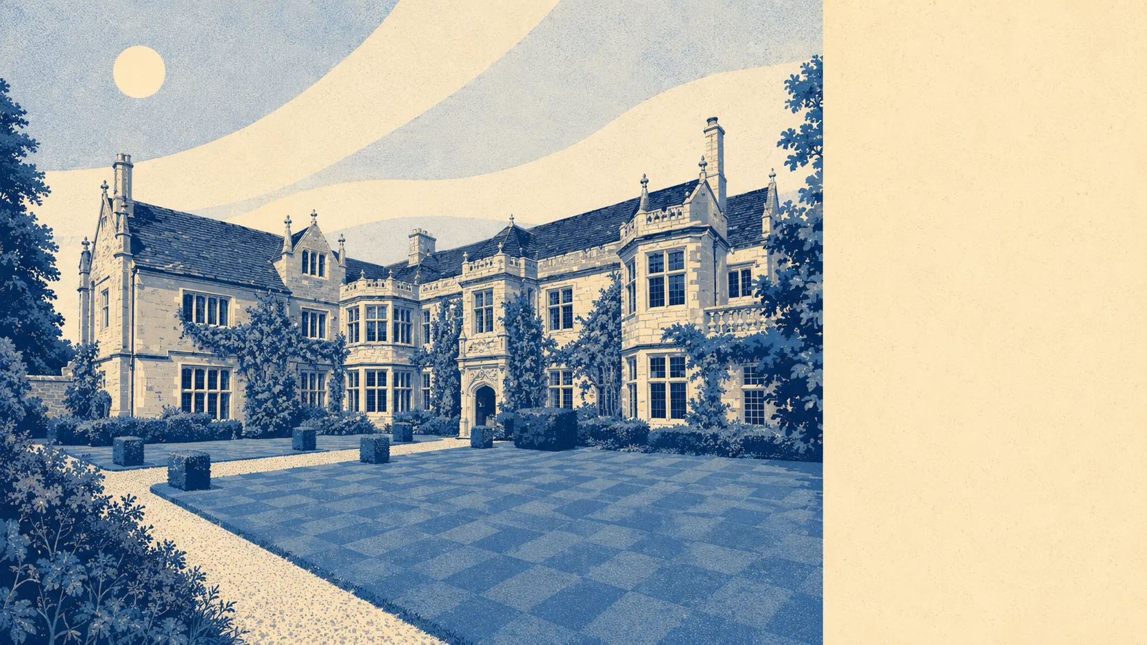
The area around Beaminster is the reason people forgive it everything else. The town sits in a bowl with hills on every side, and the entire area falls inside a protected national landscape. Green space starts at the end of most streets. Water is nearly everywhere, because the town was built where the streams meet. This is countryside you live in rather than countryside you drive to at weekends.
Green space access is about as good as it gets. The average postcode has roughly nine green sites within a kilometre, with the nearest around 200 metres away. That is close enough that walking the dog does not require a plan, a car, or a conversation about whose turn it is.
Water is closer still. Blue space averages around 160 metres from a doorstep, with about 35 separate water features within a kilometre. The River Brit rises here and several streams come off the slopes above the town to join it, which is why the settlement grew in the star shape it did. Every one of those watercourses is charming from the garden and worth a second thought from the survey.
Getting further out takes more effort than the setting suggests. The nearest National Cycle Network route averages about 6.3 kilometres away, and no postcode in the area counts as close to it. The lanes are the network here, and the hills sort out who is serious.
The high street is small and genuinely functional. The ownership and rating records show 51 shops, nine pubs, two restaurants and 16 offices across the area, plus 49 holiday lets, which tells you who else is competing for the parking in August. Nine pubs for a town this size is not an accident of history, it is a preference.
Air quality across the Dorset council area measured about 5.5 micrograms of fine particles per cubic metre in 2024, which is what happens when the nearest thing to congestion is a tractor and a delivery van meeting on the same corner.
On designations, the whole of the area, every last postcode, sits within the Dorset National Landscape, formerly designated an area of outstanding natural beauty. There is no partial coverage and no fringe. The protection applies to the town as much as to the fields, which is a large part of why the place looks the way it does and why altering the outside of a building here attracts more attention than it would twenty miles inland.
The character comes from what surrounds the town rather than from the town alone. Beaminster Down rises to the north east, Horn Park sits out toward Broadwindsor, and the parkland at Mapperton and Beaminster Manor gives the area two registered historic gardens. Scheduled monuments include bowl barrows on Beaminster Down, a hillfort on higher ground nearby and a Roman fort on Waddon Hill, so the hills have been considered defensible for a very long time. Netherbury and Stoke Abbott have their own conservation areas, and hamlets like Meerhay, Silkhay, Littlewindsor and North Bowood are the sort of places you find by taking the wrong turning and then not minding.
Private outdoor space is the part the public green space figures hide. Gardens here run to around 214,000 square metres per 1,000 residents, which is a great deal of private ground per person and a genuinely different life from a town where the same green space score comes entirely from parks.
The commercial side of the area amounts to 113 rateable premises on the valuation list. That is premises rather than trading businesses, so treat it as the size of the town's commercial fabric rather than a directory of what is open on a Tuesday.
On eating out, 27 food premises hold a hygiene rating and about 93% of them sit at the top score, with none in the bottom bands. Small towns tend to police this themselves long before an inspector arrives.
Two honest absences: the mapping records no site of special scientific interest overlapping the area, and no ancient woodland within it. Neither is a black mark. The landscape designation covers the ground comprehensively, and the countryside here is worked farmland and grazed hillside rather than untouched wood.
The surroundings are Beaminster's outright strength, and nothing else on this page comes close to matching them.