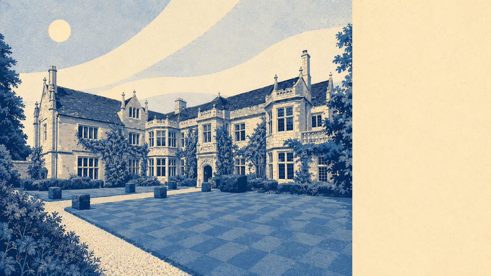
Beaminster is a good place to live if you have already stopped pretending you want to be somewhere else. It sits in a bowl of hills, entirely inside a designated National Landscape. Two thirds of people own their homes and the typical resident is coming up to sixty. The nearest hospital is the best part of forty minutes in the car. That is not a town on the way up or the way down. It is a town that arrived at its own conclusions some time ago and has no plans to revisit them.
The housing is stone-town stuff with a suburban tail. On the council tax valuation list, which covers every dwelling rather than only the ones certificated in the last couple of decades, terraces run to around 25% of the stock, detached to around 21%, semis to around 19% and bungalows to around 18%, with flats making up about 16%. Around 24% of it was built before 1930, so the honey-stone frontages are real rather than decorative, but the bulk arrived after the war and does exactly what post-war Dorset housing does. Roughly 78% is on mains gas. About 7% runs on electricity alone, which is worth knowing before the viewing rather than after the first winter quarter, because an older property on electric-only heating is a different proposition entirely from the identical-looking one two doors down with a boiler. On energy certificates, about 51% of the stock sits in bands A to C, around 37% in band D, and around 12% at band E or worse. Older stone buildings do not politely retain heat because they are pretty.
Prices are the part that makes people from Bristol sit up. The Land Registry's last twelve months to May 2026 put the typical sale at around £330,000 across 55 sales. Terraces came in at about £285,000, semis around £298,000, detached at roughly £448,000. The council tax picture is unusual for a town that looks like this from the road: band A is the single most common band, and around 39% of dwellings sit in bands A or B. The gap between what Beaminster looks like and what most of it is actually taxed at is one of the more useful things a buyer can know here.
Rents are only published across the whole Dorset local authority area, so treat this as the regional number rather than the town's own. Typical private rent across Dorset runs at about £1,040 a month, up around 4% over the year.
Crime is where Beaminster wins outright. The published rate is around 39 recorded crimes per thousand residents over the year to May 2026, which sits roughly 29% below the Dorset average. Dorset Police charge in around 14% of cases against a national figure of about 12%, which is a force statistic rather than the town's, but it is not nothing. Anti-social behaviour makes up a larger share of the mix here than nationally, and on totals this small a handful of incidents moves the share by several points, so read that as texture rather than as a settled fact about the place.
Schools are the quiet strength. Across Dorset, Ofsted has graded 86 settings, of which 68 are good or better and two are outstanding. Locally, the primary picture is Beaminster St Mary's Academy in the town, with Broadwindsor Church of England Voluntary Controlled Primary School and Parrett and Axe Church of England Voluntary Aided Primary School serving the surrounding parishes. Beaminster School is the secondary, and Mountjoy School shares its site. Key stage two maths across the three local primaries averages around 102, slightly above the expected standard. Key stage four attainment eight comes in at around 47. The Department for Transport's modelling puts the primary school around 14 minutes on foot and the secondary around 17, which in most of the country would be a selling point and here is simply how the town is laid out.
Connectivity is the honest weak point and nobody in Beaminster will pretend otherwise. About 0.6% of residents commute by train and about 0.9% by bus, while roughly 60% drive and around 21% work from home. There are 16 bus stops in the area, and the 11 with published service data average around 38 scheduled weekday departures, with weekend service at 10 of them. A town centre is about 23 minutes by car and around 31 by public transport. The broadband, by contrast, is genuinely good: gigabit-capable service reaches about 89% of premises, superfast reaches all of them, and every premise has coverage from at least one mobile operator on fourth or fifth generation service. The town has better internet than it has buses, which tells you exactly which century the infrastructure was last updated in.
The setting is the thing people actually move here for. The whole area falls inside the Dorset National Landscape. Green space averages about 200 metres from a doorstep with around nine sites within a kilometre, and water is closer still at roughly 160 metres. The cost of a town built where several streams meet is flood risk, and it is real. Around 22% of postcodes carry a high rating on at least one flood indicator including surface water, and around 21% a medium one. On the Environment Agency's river-and-sea flood zones, which measure something narrower, about 7% of the area sits in zone three. Eight flood events have been recorded historically. Every postcode also sits on ground rated class three for shrink-swell clay and for landslide susceptibility, which is a published geological classification rather than a prediction, but it belongs in the same conversation as the survey.
Heritage is the other constraint. There are 154 listed buildings across the area, one at grade one and ten at grade two star, plus a conservation area covering the town itself. Practically, that means window replacements, roof work and anything visible from the street can require consent, and the answer is not always the one you wanted. People who want a stone town and modern glazing are asking for two things that the planning system has decided are incompatible.
Around 66% own their homes, the median age is about 58, and household income runs to roughly £47,700 a year gross before tax. This page also covers Broadwindsor, a couple of miles west, which shares the same rhythms with fewer shops.
It suits people who have made their peace with driving, who want the National Landscape out of the window rather than a forty-minute drive away, and who would rather have a good primary school at the end of the road than a station. It suits retirees and people who work from home, which the numbers here bear out.
It does not suit anyone who needs a commuter train, anyone whose social life requires more than nine pubs and a handful of restaurants, or anyone buying at the bottom of the valley without reading the flood mapping first. The town has form on this.
The historical roll call is better than the size suggests. Samuel Taylor Coleridge and Lynne Reid Banks are among the names attached to the area, Martin Clunes farms nearby, and Parnham was home to William Barnard Rhodes-Moorhouse, the first airman awarded the Victoria Cross. The town also declined to build a railway, watched Bridport and Dorchester take the trade, and has been comfortable about it since roughly the reign of Victoria.
Beaminster's real strength is where it sits: the surrounding landscape and the green space are as good as anywhere in the county, and the low crime and the schools back it up. The weak spot is water, both the flood exposure and the ground it sits on, and after that the near-total absence of public transport. Get a survey, read the flood mapping for the specific address, and if both come back clean you are buying into one of the better-value stone towns in the West Country.