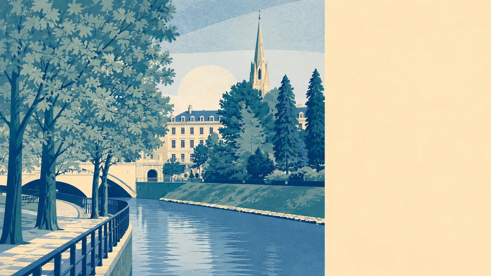
Green, wet and steep, in the good way. Water is closer to most front doors than the shops are. Green space starts within a couple of minutes' walk almost everywhere. An Iron Age hill fort looks down on the whole thing from Solsbury Hill. The countryside here is not somewhere you drive to at the weekend, it is the thing the village has been wedged into.
Green space is close and there is a lot of it. The nearest site averages about 260 metres away, and around nine separate green spaces sit within a kilometre. That is the sort of provision that changes daily life rather than decorating a brochure: it means a dog gets walked without a car journey and children have somewhere to go that is not a pavement.
Water is closer still. Blue space averages about 240 metres away, with roughly 23 stretches of it within a kilometre. Batheaston sits on the north bank of the River Avon where the Bybrook comes down to join it, and there is a toll bridge across to Bathampton, so the water is not scenery viewed from a distance, it is a thing the village is organised around.
Getting out into the wider landscape on two wheels is less convenient. The National Cycle Network averages about 1,220 metres away, and none of the area's postcodes count as close to it by the standard measure. That is a short ride to reach the network, on roads first. There is no ancient woodland recorded within the area at all.
The commercial mix across the wider Bath postal district runs to 802 shop premises, 87 restaurant premises and 63 pubs, which is a city's worth of options rather than a village's. Batheaston itself is on the edge of that, close enough to use it and far enough that it does not arrive on the doorstep at closing time.
Air quality is measured for the council area rather than the village. Fine particle levels across Bath and North East Somerset averaged about 6 micrograms per cubic metre in 2024.
Roughly 13% of the area falls inside the Cotswolds Area of Outstanding Natural Beauty, which takes in the high ground above the village. That designation is why the skyline stays as it is, and it is a planning constraint as much as a view.
The character follows from the geography. This is a valley-floor village climbing a hillside, with Northend on the road up towards St Catherine, Bathford immediately alongside, and Bailbrook, Larkhall and Lambridge running back towards Bath. The Limestone Link footpath passes through, and the ridge above carries former Bath stone quarries and the Three Shire Stones where three historic counties met. Two conservation areas cover Batheaston and Bathford. It looks and behaves like a village that got absorbed into a city's orbit without ever agreeing to it.
Private outdoor space is the part most descriptions skip. Across the neighbourhood areas here, gardens amount to roughly 280,000 square metres per 1,000 residents, which is a substantial figure and reflects the plot sizes on the post-war streets as much as the older cottages. People here have their own gardens, not just access to somebody else's grass.
For what is actually trading locally, the valuation list records 73 rateable premises in the area, spread thinly across categories with the largest single group at 15 premises and the next at 12. Those are premises on a list rather than a guarantee that any particular door is open, but the shape is clear enough: a handful of small commercial addresses serving a village, with the city carrying everything else.
On eating out, 18 premises in the area hold a current food hygiene rating, and about 61% of them sit at the top score. None fall into the lowest ratings.
Two absences are worth stating plainly rather than leaving to silence: no site of special scientific interest overlaps the area, and no ancient woodland is recorded here. Neither is a fault. It simply means the landscape protection that does apply comes through the Cotswolds designation and the conservation areas rather than through ecological listings.
The setting is the best thing about Batheaston, and it is not close. Green space and water within a few hundred metres, generous gardens, a protected hillside above and a river below is about as good as an English village setting gets.