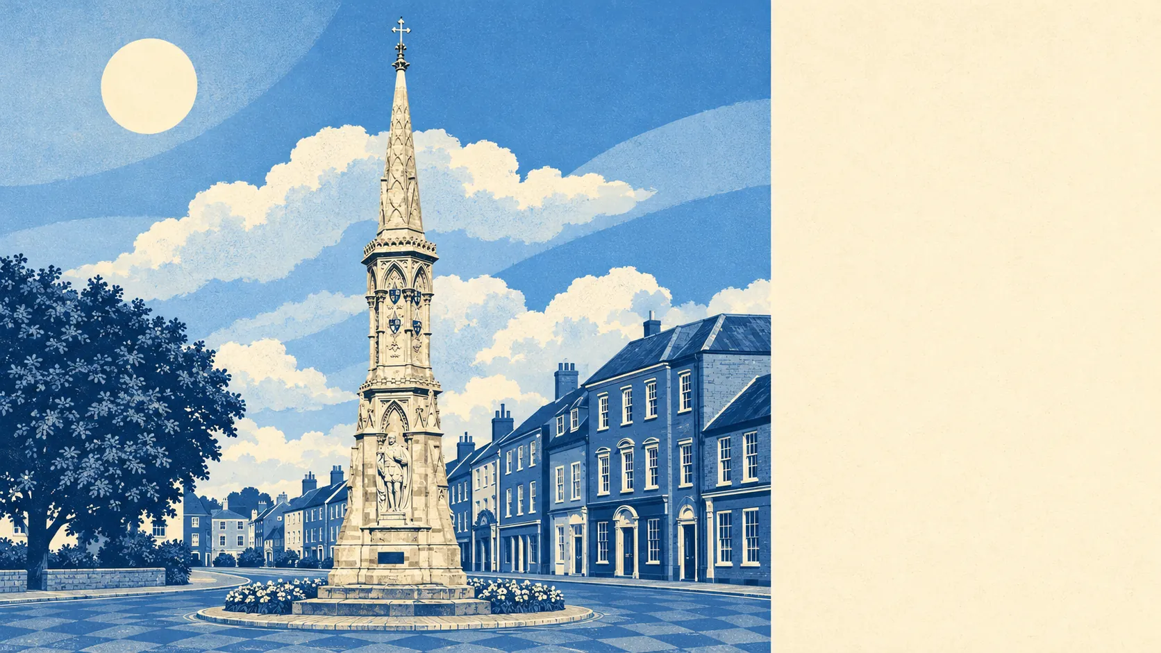
The area around Banbury is greener than a busy market town has any right to be. A park or green space is a couple of minutes from most front doors. The canal and the river run straight through. Castles and country parks start a short drive out. The town is dense, but its surroundings are generous.
Green space is close. The typical Banbury home is about 140 metres from the nearest green space, with about 29 of them within a kilometre. People's Park, set up in 1890 and opened in 1910, is the town's formal park, and the rest is a scattering of recreation grounds, playing fields and green corners between the estates.
Water is close too. The nearest river, canal or pond is about 460 metres from the average home, and about 26 bodies of water fall within a kilometre. The River Cherwell runs just east of the centre and the Oxford Canal runs beside it, with Tooley's Boatyard still sitting on the bank. The canal was built to bring in coal and now mostly carries narrowboats with flowerpots on the roof.
For anyone who wants to get further out, the National Cycle Network is about 1.9 kilometres from the average home, and only about 9% of homes are close to it. Salt Way, the ancient road that carried salt west and south of the town, survives as a bridle path. It spent centuries carrying a commodity and now carries dog walkers and the occasional horse.
Banbury's town centre holds 523 shop premises, 91 pubs and 38 restaurants. When this town goes out, it mostly goes to the pub.
The government's air-quality modelling puts fine-particle pollution across Cherwell at about 7 micrograms per cubic metre in 2024. That's a district-wide figure, so the town centre and the open fields around it are averaged together.
Banbury's character comes from its edges. Broughton Castle and Wroxton Abbey both have registered parks and gardens within a short drive, and Hanwell Castle sits on the northern side. Villages such as Bodicote, Drayton, North Newington and Cropredy keep their own conservation areas and their own pubs. The town sits in the Cherwell valley with hills on every side, and the estates on Bretch Hill and Hardwick have views across most of it. Banbury looks better from up on its hills than from the bypass.
Private gardens are generous. Across the town's 34 neighbourhood areas, there are about 77,000 square metres of private garden for every 1,000 residents. Most of the housing is post-war semis and terraces with gardens at the back, and the back garden is where most Banbury weekends happen.
The council-tax valuation list holds 1,761 business premises in the area. The largest groups are 448 shop premises, 376 office premises, 207 industrial premises and 166 warehouses. These are rateable units on the valuation list, so some will be empty and some will be trading as something other than their listed use. Even so, the mix describes a town that works as well as shops, with warehouses and workshops alongside the high street.
Of the 351 food premises rated for hygiene, about 78% hold the top score of five, and about 3% sit at the bottom of the scale. That's a solid record for a town of this size.
No area of outstanding natural beauty, site of special scientific interest or ancient woodland overlaps the area. Banbury's countryside is ordinary working farmland around a working town, and it's plenty pleasant without a designation to prove it.
The surroundings are one of Banbury's real strengths. Parks, water and castle grounds are all within easy reach, and anyone moving here for a garden and a walk to green space will find both close to home.