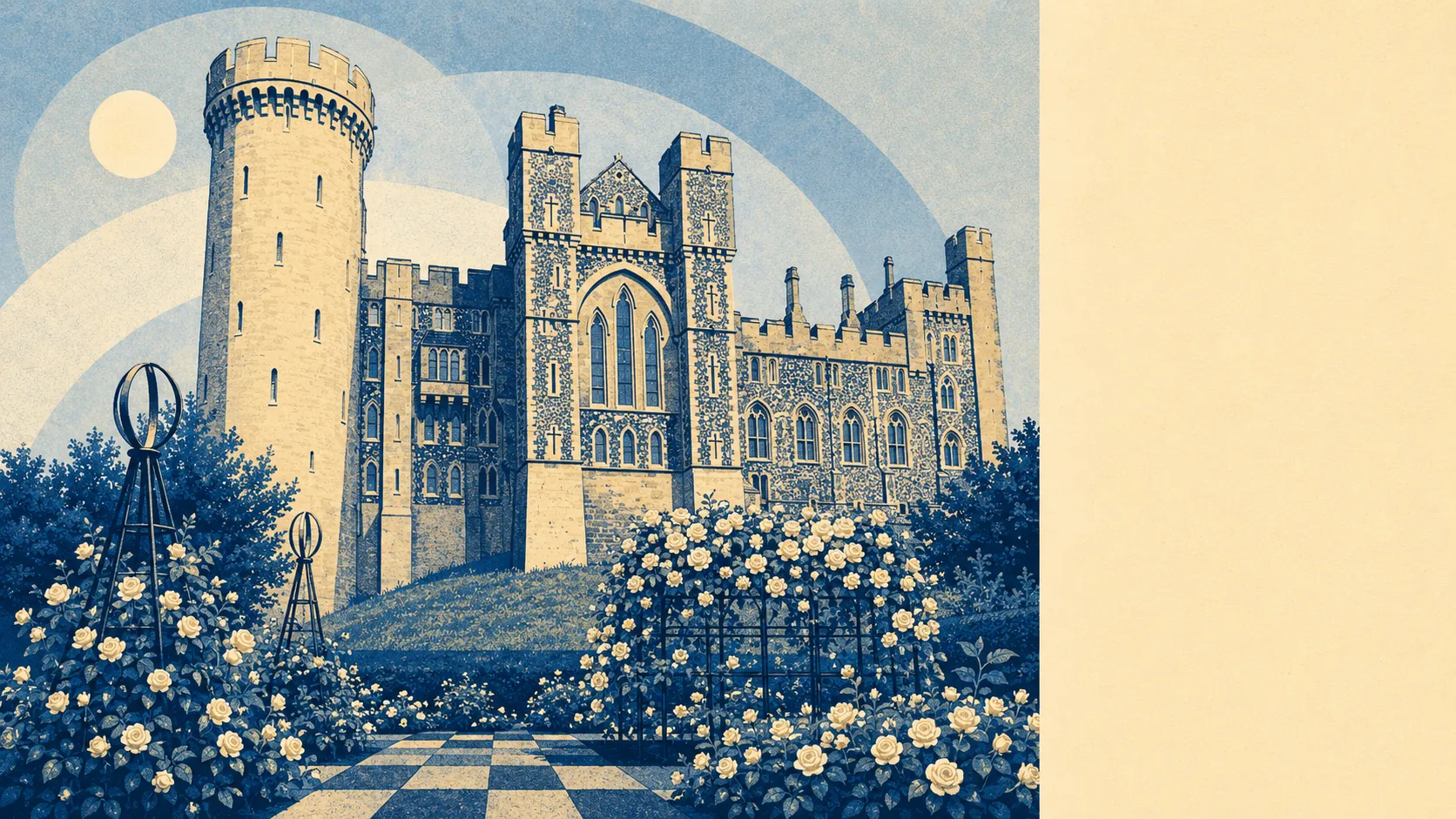
The area around Arundel is what people pay to move to and photograph when they get there. Green space averages roughly a hundred metres from the front door. The typical home has close to eighteen patches of green within a kilometre. Blue space, meaning rivers, ponds and reservoirs, sits about a hundred and seventy metres away with well over a hundred features within a kilometre. This is a town wrapped in landscape, and the landscape is the point.
Green space is close and generous. About a hundred metres separates the typical home from its nearest patch of green, which for a market town is a good number and for most towns in the south-east is a very good one. Close to eighteen distinct patches of green sit within a kilometre of the average home. That includes the meadows to the south of the town, the parkland attached to the estate, the small greens inside the parishes, and the wooded valleys that thread through Madehurst and Slindon to the north-west. Blue space adds the Arun itself, which runs through the town, plus the ponds, drains and reservoirs that come with a lowland river system. The typical home has more than a hundred and thirty water features within a kilometre, which is what happens when you sit on a river valley that flooded the flatlands into farmland a long time ago and never quite stopped.
Character-wise, the surrounding area is landscape-first and settlement-second. The town itself lies outside the boundaries of the South Downs National Park, but the park sits just to the north and the terrain around it belongs to the same picture. The Monarch's Way long-distance footpath passes through the town and crosses the Arun here. The South Downs Way runs just under five miles north and north-west. The parishes around the town are small and scattered, and they carry the names that anyone reading a Sussex map will recognise: Amberley to the north with its thatched cottages and its own rail station, Burpham and Wepham east of the river with their own conservation area, Poling two miles south-east on a minor road, South Stoke and Warningcamp along the river valleys, Madehurst tucked into wooded valleys to the north-west, Tortington between the Chichester and Ford roads, Walberton and the smaller Binsted with their medieval churches, and Yapton out toward the flatter ground.
The named heritage sits inside the landscape rather than on top of it. Arundel Castle sits above the town on the wooded plain the Normans built it to protect. The Cathedral of Our Lady and Saint Philip Howard, the Fitzalan Chapel, and the parish churches at Saint Nicholas, Saint Mary, Saint Andrew, Saint Leonard and Saint Mary Magdalene are the built anchors. The scheduled monuments in the wider area include Burpham camp, Tortington Augustinian priory, the earthworks at Goblestubbs Copse, and the Maison Dieu. This is the kind of ground where you walk the dog past a nine-hundred-year-old ruin and think nothing of it.
Amenity-wise, the town supplies a small centre with independent shops, restaurants and pubs. Around a hundred and twenty shops sit inside the town's business rating list, along with nineteen pubs, eleven restaurants, close to eighty offices, and around forty holiday lets. Food hygiene ratings across the rated food outlets are strong, with roughly eighty-five per cent scoring the top five-star rating and very few sitting low. It is a small commercial base, but it is a working one, and it serves the residents and the day-visitor trade that keeps the town solvent.
The verdict on the surrounding area is 5 out of 5. Green close, blue close, national park just up the road, the river running through the middle, and the kind of parishes and heritage that make the postcards look accurate. This is the reason people buy here.