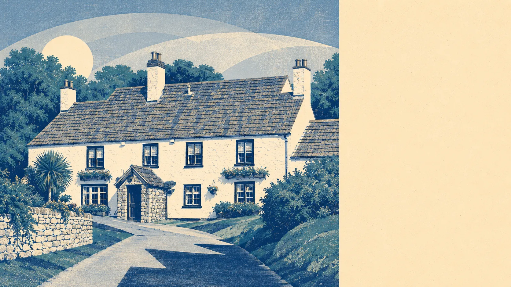
Genuinely rural, and then suddenly not. Green space starts about 200 metres from the average front door. Water is closer than most people would guess. Gardens here are enormous by any national measure. Almondsbury sits at the exact seam where working countryside meets the edge of a city, and the two halves have never quite agreed on which one won.
Green space access is the standout. The average postcode sits about 200 metres from green space, with nearly eight separate green spaces inside a kilometre. That is not a park at the end of one road and nothing else. It is a village where whichever direction you leave the house, you are in something open within a few minutes.
Water is closer than the geography suggests. Blue space averages about 490 metres away, with roughly nine separate water features within a kilometre. These are inland watercourses and ponds rather than anything coastal, so this is walking country rather than sailing country, but for a place with no river running through it the density is high.
The National Cycle Network is the gap in an otherwise strong picture. It sits about 3.1 kilometres away on average, and no postcode in the village counts as close to it. Walking out of your door is easy. Cycling out of it onto a proper traffic-free route means driving to the route first, which rather defeats the exercise.
For amenities, the ownership and rating records across the area list 36 shop premises, nine pubs and five restaurants, along with 12 holiday lets. Nine pubs is a decent number for a village of this size and reflects that the surrounding countryside carries its own hamlets, each with a history of supporting one. Of the 16 food premises with a published hygiene rating, about 88% hold the top score and none sits at the bottom of the scale.
Air quality for the wider council area measured 6.6 micrograms of fine particulate matter per cubic metre in 2024. That is a South Gloucestershire figure covering a large area rather than a reading taken in the village.
The character comes from what surrounds it. On one side sit the hamlets and villages of the older landscape: Tockington, Olveston, Rudgeway, Old Down, Easter Compton, and a run of names including Gaunt's Earthcott, Lower Hazel, Awkley and Ingst that sound invented for a costume drama and are not. On the other side sit Bradley Stoke and Patchway, modern suburbs built at modern density, with the retail and edge-of-city activity around Cribbs Causeway beyond them. Alveston, Winterbourne and Over fill in between. Living here means both are within a short drive, which is either the best of both or a permanent identity crisis depending on the day.
Private outdoor space is where the raw numbers get silly. Gardens account for roughly 265,000 square metres per thousand residents. Whatever else the housing stock here does badly, it does not do small gardens.
The village's own commercial base is modest. Thirty-nine rateable premises appear on the valuation list, covering the usual mix of small business and service uses. These are premises on a valuation list rather than shops currently trading, so the count describes the built stock rather than a high street you can walk down on a Tuesday. Anyone expecting a village centre with a functioning parade will find the shopping happens elsewhere.
There is no landscape designation over Almondsbury at all. No area of outstanding natural beauty, no site of special scientific interest, and no ancient woodland. That is worth stating plainly rather than leaving out. The countryside here is farmed working land rather than protected scenery, which means it looks like England rather than a postcard, and it means no additional designation-driven constraints sit over the ground.
The surroundings are the best thing about Almondsbury by a distance. Green space at walking distance in every direction, water nearby, gardens the size of small fields, and open countryside that starts where the houses stop. The trade is that none of it is protected and the cycle network has not found its way here yet.