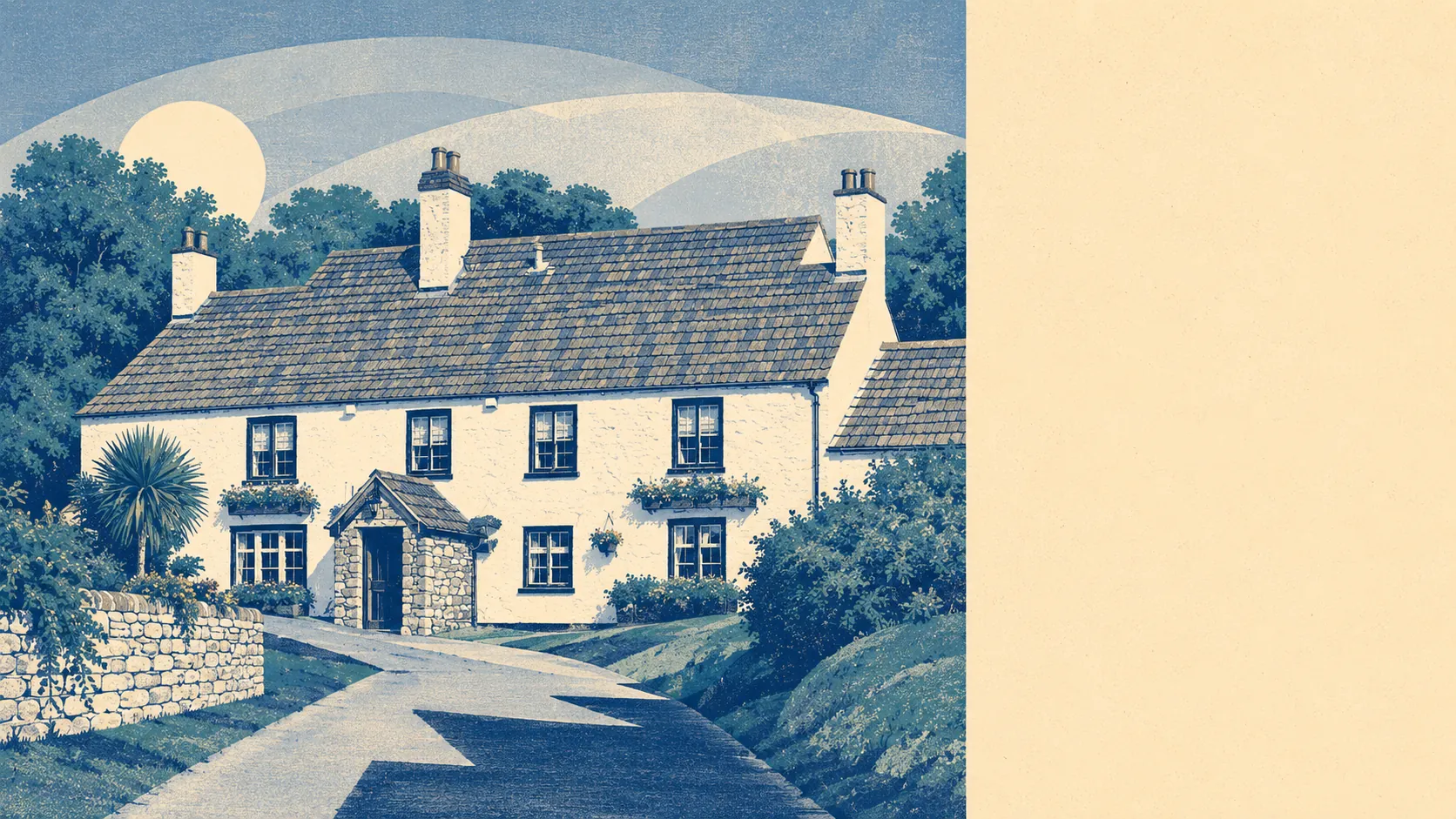
Yes, unless you bought the pretty one. Twenty-five buildings in the area are listed. One conservation area covers the old village centre. Everything outside those boundaries plays by ordinary rules, and plenty of people are already at it. The catch is that the houses most worth extending tend to be the ones you are least allowed to touch.
The listing picture is small but concentrated. Twenty-five listed buildings sit in the area, of which one holds Grade One status and the other 24 are Grade Two. There is nothing at Grade Two star. Listing applies to the whole building, inside and out, and to anything within its curtilage, which catches outbuildings and boundary walls people assume are fair game. Listed building consent is a separate process from planning permission and is required for alterations affecting character, which in practice means windows, internal walls, roof coverings and almost any extension. Doing the work without it is a criminal offence rather than a paperwork problem. Twenty-five buildings out of the whole village is a low number, so the odds are you are not buying one, but the odds are also that the house you fell for at the viewing is exactly the one that is.
There is one conservation area, at Lower Almondsbury, covering the historic core. Inside a conservation area, permitted development rights are narrower than elsewhere, demolition needs consent, and works to trees require notice to the council. South Gloucestershire sets the specific controls, and those can vary between conservation areas, so the boundary line matters more than the general principle. Check whether the property sits inside it before you commission drawings, not after.
The evidence that people do alter homes here is straightforward enough. Planning applications across the area totalled 364 between April 2024 and June 2026, with 154 of those in the most recent twelve months. That is an active pipeline for a village of this size, and it reflects a stock of large detached houses on generous plots where extending is the obvious move. What those applications were for and how they were decided is a separate question the published volume does not answer.
The ground brings its own paperwork. Around 41% of the village's postcodes are affected by recorded mining within 500 metres, and three postcodes sit directly over a recorded working. About 8% of the area falls within the coalfield consultation zone. None of that means a property is unsafe or will subside. It means a mining search is a sensible part of conveyancing, a specialist report may be requested for a particular address, and a lender or insurer may want to see one before they commit. It is a delay and a cost rather than a red light, but finding out about it after you have exchanged is the expensive version.
For most houses here, the practical position is unremarkable. Outside the conservation area and off the listing register, ordinary permitted development rights apply, and the size of the plots means a rear or side extension is often physically straightforward before it is legally complicated. The Green Belt does more to constrain what gets built on open land than any heritage designation does to what you do behind your own house. As always, permitted development rights can have been removed on individual properties or estates, so the council's records for the specific address are the only reliable answer.
Freedom to alter a home here is middling: better than a village entirely wrapped in a conservation area, worse than an estate with no designations at all. Find out which side of the Lower Almondsbury boundary you are on, and the rest of the answer follows from that.