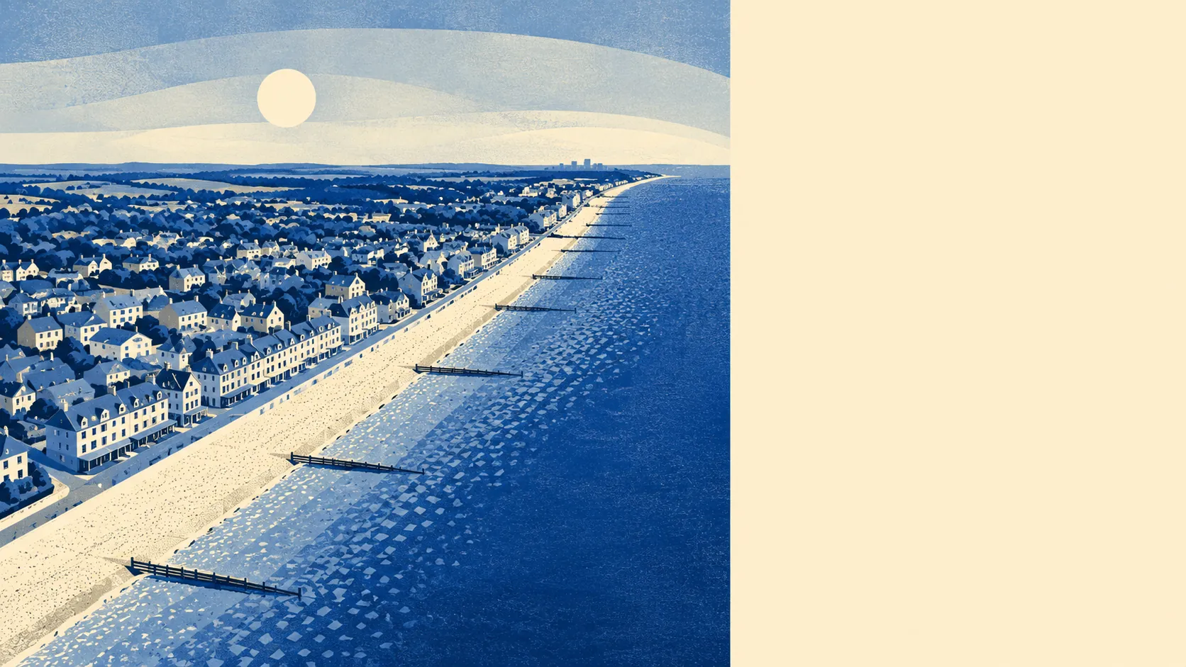
Seaside on one side, farmland on the other. Half the village's postcodes sit within five hundred metres of the coast. The nearest seafront point is twenty-five metres from a postcode. Greenspace averages about two hundred and sixty metres from the front door. The sea, the harbour, and the inland waterways called rifes sit even closer. The area around Aldwick is what happens when somebody builds bungalows between the sea and the flatlands and calls it a village.
Green space is generous and close. Inside a kilometre of any given postcode, residents have access to about fourteen distinct greenspaces. The average distance to the nearest is around two hundred and sixty metres, which is the kind of distance you cover before deciding whether to take the dog. Bluespace is closer still, with about forty-three accessible features inside a kilometre and the nearest averaging under two hundred metres. None of the village sits inside an Area of Outstanding Natural Beauty. None of it overlaps a Site of Special Scientific Interest. No ancient woodland either. The protected designations are all just over the parish boundary, in the direction of Pagham Harbour and beyond, which is the right side of the line for residents who want the views without the planning constraints. The National Cycle Network is a bit further out, with its nearest path about a kilometre from the average postcode, but the coast road handles most of what residents want a bike for.
In every direction, the picture is different. East, after a couple of miles of bungalow streets, the village runs into Bognor Regis: the seafront, the pier, the town centre, and the late-night economy that Aldwick deliberately does not have. West, the coast quietens. Pagham takes over, with its harbour and the Phoenix Caisson, the abandoned D-Day Mulberry Harbour pontoon stuck on the beach since 1944, sitting offshore as a scheduled monument. North, the land flattens into Sussex farmland threaded with rifes and small inland villages: South Mundham, Colworth, Elbridge, Lagness, Lidsey, South Bersted. Inside Aldwick itself, the smaller settlements of Rose Green and Nyetimber have absorbed most of the post-war housing, while the older village core sits behind the Aldwick Conservation Area boundary. The listed buildings in the wider area trend ecclesiastical and agricultural: the parish churches of St Giles, St Mary, St Mary Magdalene, and St Thomas a Becket all carry Grade II status, along with Bowley Farmhouse, South Mundham Farmhouse, and Hotham Park House further into Bognor. The texture of the surroundings is older than the bungalows suggest.
Aldwick rates four and a half out of five on its surroundings, which is the score for a village that opens onto the sea on one side and onto farmland on the other, with no protected designations forcing you to ask permission to enjoy either. The harbour is a short walk west. The town is a short drive east. The fields run on for as long as you want to follow them inland. The view is the product, and the place is the price you pay to keep it.