Wotton-under-Edge does right by people whose working week happens at home or behind a steering wheel. Life here is a small, old market town on a steep slope, with low crime and the Cotswolds starting at the end of most streets. Seven in ten households own their home. The town's weak side runs downhill, and it is water.
The people who do best here are the ones who never needed a train. Charfield station closed in 1965 and the town has had no rail access since. Drivers, walkers and people who work at the kitchen table do fine. Commuters to a city office have the hardest time.
Crime is low. Gloucestershire Constabulary's figures for the year to May 2026 put recorded crime at about 33 per 1,000 residents, roughly 27% below the average for Stroud district. Antisocial behaviour makes up a bigger slice of that small total than it does nationally, but the total is small enough that a few incidents move the shares. In 1588 Wotton Hill held one of the beacons lit to warn of the Spanish Armada, and nothing since has given the town such a busy night.
The town is old and the paperwork shows it. There are 199 listed buildings, one at Grade I, four at Grade II* and 194 at Grade II, along with two conservation areas, one for Wotton-under-Edge itself and one for neighbouring Kingswood. In those areas, changing windows, roofs, doors or the front of a house usually needs consent, and on a listed building nearly any change does. The town burnt down under King John and was rebuilt by 1252. If it ever needs rebuilding again, the planning office will want the drawings first.
Seventy per cent of households own their home and the typical resident is 48. The Office for National Statistics models gross household income for the area at about £64,500 a year, before tax, for the financial year to March 2023. Wotton elected a mayor every year from 1272 until 1886, and it stopped only because Parliament abolished the borough's corporation.
On the Environment Agency's river-and-sea flood zones, about 1% of postcodes fall in the highest zone and about 1% in the next one down. The broader count, covering postcodes flagged on at least one flood indicator including surface water, is much higher: about 16% at high risk, 17% at medium and 28% at low. The Environment Agency records one historic flood, in July 1968, when the river overtopped its channel. That gap between the two measures is how flooding works under an escarpment. Rain coming off the Cotswold Edge does not wait for a river to reach it.
The 2021 Census found 38% of working residents at home and 48% driving to work. Buses use 33 stops, with about 15 weekday departures per stop on average, and 96% of the stops with timetable data have a weekend service. On the Department for Transport's 2019 modelling, a GP is about 10 minutes away by public transport and a hospital about 38 minutes by car. Bus timetables have aged worse than the roads since then. Gigabit broadband reaches 63% of premises and superfast reaches 99%, while all four mobile networks give 4G or 5G coverage to 94% of the area. With that many people working from home, the broadband map matters more than the road map.
The Land Registry recorded 39 sales in the year to May 2026, with a median of £340,000. By type, detached houses went for about £460,000, semis for about £328,000, terraces for about £285,000 and flats for £179,000, though only four flats sold. Band C is the most common council-tax band, and 34% of homes are in bands A or B. Flats are the cheapest way in, and at four sales a year they are also the hardest to find.
Across Stroud district, private rents average about £1,040 a month as of April 2026, up about 7% on a year earlier. That figure covers the whole district, not this town alone.
The council-tax list shows a mix: 28% detached, 24% semi-detached, 23% terraced, 15% flats and 9% bungalows. About a third was built before 1930. Of the homes with energy certificates, 42% are rated C or better and 17% E or worse, and 76% of homes heat with mains gas. A third of the town is older than 1930, and the heating bills show which third.
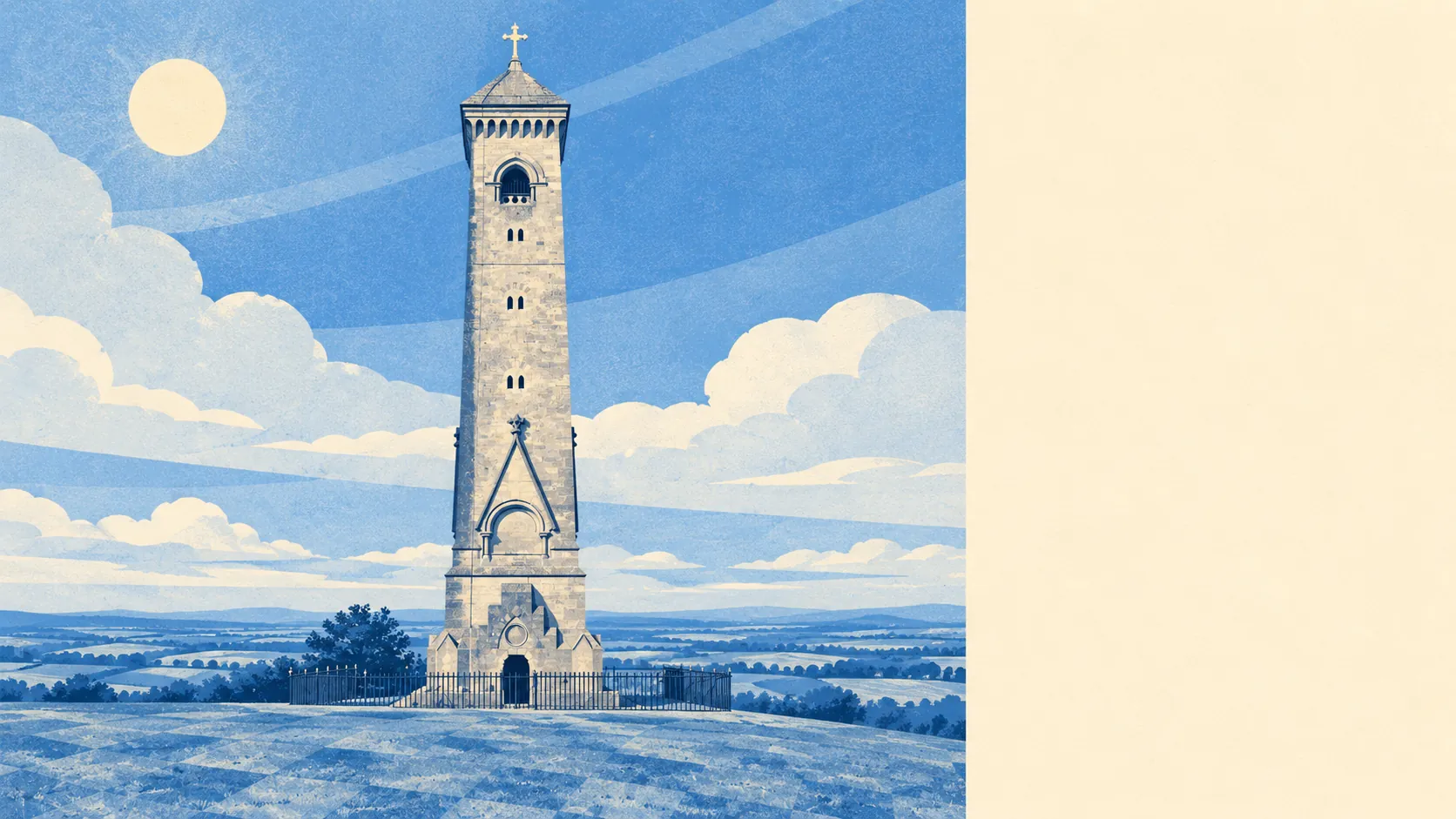
The surroundings are the main reason to live here. The whole area is inside the Cotswolds Area of Outstanding Natural Beauty, the Cotswold Way runs through the town, and the nearest green space is about 140 metres from the average front door, with water about 300 metres away. Wotton Hill has a clump of trees planted to mark Waterloo, and the villages around the town, Alderley, Hillesley, Tresham, Ozleworth, Coombe and further out to Wickwar, Hawkesbury Upton and Badminton, are mostly fields, footpaths and stone walls. Edward Jenner, Sir Matthew Hale and Bruce Chatwin are all on the town's list of notable people. Chatwin made a career of leaving places, and even he is on it.
Wotton-under-Edge is above average overall. It does best on what is outside the door: the escarpment, the footpaths, green space within a two-minute walk. It does worst when heavy rain comes off that same slope, because about one postcode in six is at high risk on at least one flood measure. It is a good fit for people who work from home, walk at weekends and drive the rest of the time, and who don't mind a listed-building consent. Anyone who needs a daily train or wants to rip out the sash windows will be happier somewhere else.