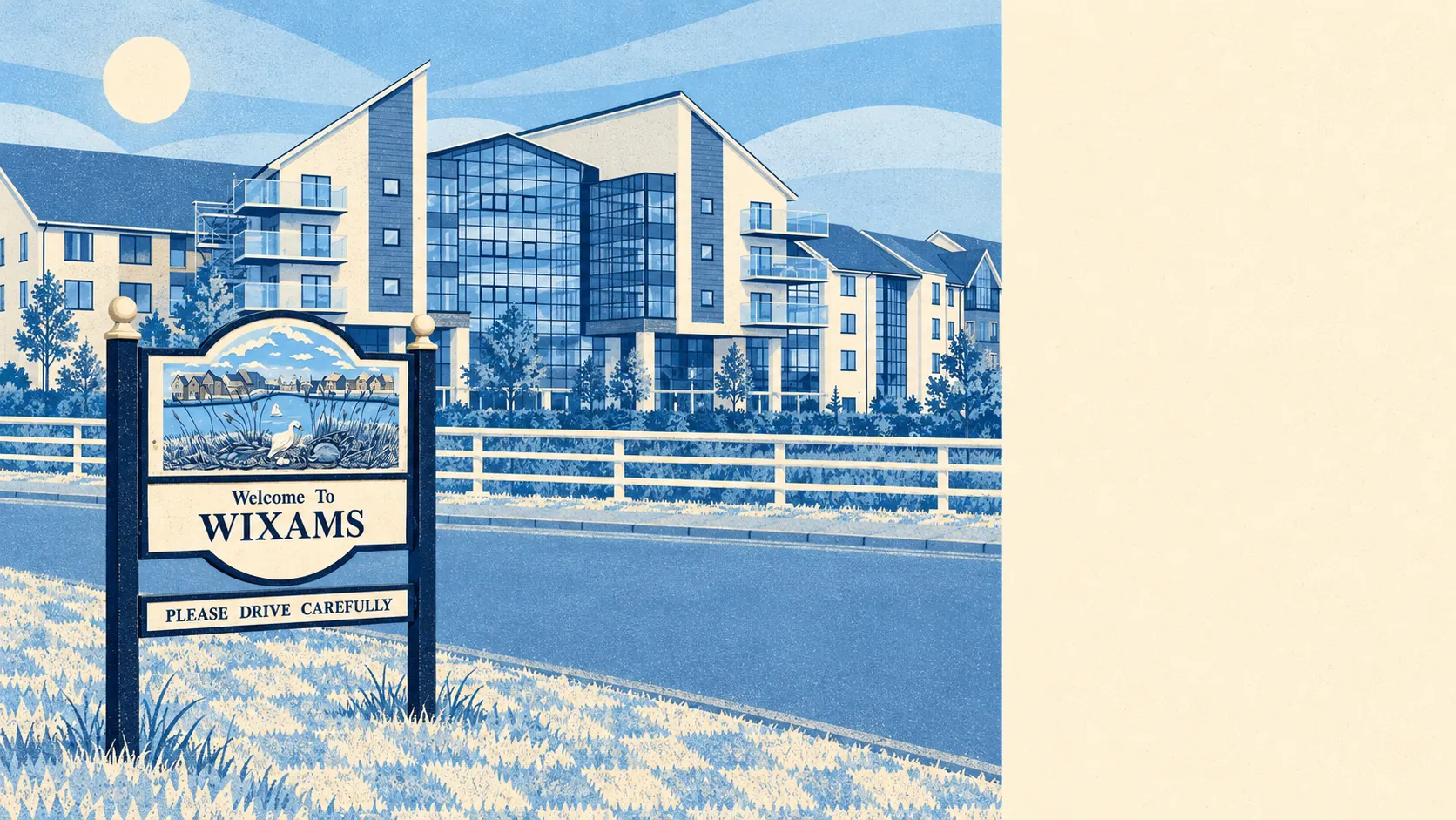
Wixams gets most of the big things right for a young household, but it gets them on ground that takes on water more readily than all the new brick suggests. About a third of its postcodes are rated high on at least one flood measure, surface water included. The houses are too young to have flood stories of their own. So a buyer finds out about the water from the insurance quote, because there are no neighbours old enough to tell them.
There are two flood measures on this site, and here they disagree. In the Environment Agency's river-and-sea flood zones, about 3% of the Wixams area falls in zone 2 and zone 3 barely shows up at all. Count postcodes on at least one flood indicator including surface water, though, and about 33% are rated high, 29% medium and 54% low. The Environment Agency's property count for rivers and the sea puts 23 homes and businesses at high risk across the area. Its modelled zone that allows for a changing climate takes in about 16%. Two-thirds of postcodes are inside the Bedfordshire and River Ivel Internal Drainage Board, which exists to keep water moving across low ground. None of the area falls inside a recorded historic flood outline, though in a town this young, a clean record mostly means the record has not had long to fill up.
The Land Registry logged 132 sales in the Wixams area in the twelve months to May 2026, at a typical price of about £360,000. Detached houses went for about £465,000 across 49 sales, semis for about £340,000 and terraces for about £328,000. Seven flats sold, at a typical £225,000, which is too few to call a market. Most homes are in council-tax band C, with about a quarter in bands A and B.
Renting is a smaller corner of the place. About 9% of households rent privately and 15% from social landlords. Across Bedford Borough, typical private rent is about £1,170 a month as of April 2026, up about 4% on a year earlier, and that borough-wide figure is the closest one published for Wixams.
The council-tax valuation list covers every home, and it describes a town with no single dominant shape: about 29% semis, 26% terraces, 25% detached houses, 12% flats and 5% bungalows. Only about 7% were built before 1930. Energy certificates put about 85% of certified homes in bands A to C, about 71% of homes are on mains gas and about 8% rely on electric heating alone. The renovation horror stories that come with older towns mostly do not apply, and the period feature buyers end up debating is which housebuilder did the plastering.
Heritage barely touches the new town itself, which went up on the old Elstow Storage Depot, a wartime ordnance site. The protected stuff is in the older places round it. The wider area holds 101 listed buildings, three at grade I and six at grade II*, and four conservation areas: Cardington, Elstow, Kempston and Stewartby. For most Wixams owners, an extension is a planning question and nothing more. Stewartby is the exception worth knowing about. It was laid out on garden-city lines for workers of the London Brick Company, and as a conservation area it now has opinions about which bricks go where, in a village a brick company built.
About 70% of households in the area own their home, and the typical resident is about 35. The Office for National Statistics models gross household income at about £57,000 for the financial year to March 2023, averaged across the area. Couples with children make up about 29% of households. The name comes from Wixamtree, an ancient hundred nearby, so the oldest thing about the town is the word on the sign.
Bedfordshire Police recorded about 82 crimes per 1,000 residents across the area in the twelve months to May 2026, roughly 16% below the Bedford average of 97. Anti-social behaviour makes up about 20% of incidents against 16% nationally, and vehicle crime about 7% against 5%. Everything else follows the national shape fairly closely.
Driving is how the place runs. About 55% of working residents drove to work at the last census, about a third worked from home and about 2% took the train. Stewartby and Kempston Hardwick stations are close by on the Marston Vale Line, and Kempston Hardwick has been one of the least-used stations on the network, which tells you how useful commuters find it. The area has 162 bus stops, averaging 32 weekday departures each and about two an hour at peak. The Department for Transport's 2019 modelling put Bedford town centre about 21 minutes away by public transport and 14 by car, though bus times date faster than road times. Gigabit broadband reaches about 78% of premises and superfast about 95%.
The outdoors is where Wixams pays you back. The average home is about 160 metres from green space, with about 15 green spaces inside a kilometre, and open water is about 250 metres away. The first neighbourhood is called Lakeview, and for once a development's name is simply a description.
Wixams is right for a family who drives, wants a modern house that is cheap to heat, and would rather walk to a lake than restore a cornice. Anyone who needs a train commuter's timetable or a house with some age on it should look elsewhere. So should a buyer who wants certainty about water, at least until the surface-water mapping for one particular plot has been read.
Flood is the part that costs real money here. The river maps look reassuring, the surface-water picture does not, and no house is old enough to settle the argument, so the premium gets set on the modelling alone. Past that, Wixams is a better place to live than its age usually allows: cheaper than it looks, safer than the borough, and close to more green space and water than towns three times its age.