The area around Winkleigh is working Devon countryside, and its best feature is that nothing about it is famous. Green space starts a short walk from most front doors. Water is close as well. The surrounding hamlets are small enough that driving through one takes less time than saying its name. Nobody has fenced any of this off into a protected designation, which is exactly why it still functions as somewhere to live rather than somewhere to park and photograph.
Green space access is the standout. The average postcode here sits about 170 metres from open green space, with roughly 11 separate green spaces within a kilometre. That is not one municipal park doing the work for a whole parish. That is green in every direction, most of it reachable before a dog has properly committed to the idea of a walk.
Water is nearly as close. The average postcode sits about 510 metres from blue space, with around 10 within a kilometre, which in this part of Devon means streams, ponds and the small river valleys that cut through the farmland rather than anything you would launch a boat on.
Cycling infrastructure is the gap. The nearest National Cycle Network route sits about 6.8 kilometres away, and no postcode here counts as close to it. Cyclists exist, obviously, they just ride lanes rather than routes, sharing them with tractors and people who know the lanes better than you do. There is no ancient woodland recorded in the area at all.
The amenity mix is what a village of this size supports rather than what a market town does. The premises records list 14 shops and 7 public houses across the area, and no restaurant premises whatsoever. Holiday lets run to 36, which tells you plainly what a portion of the local property market is doing when nobody is living in it.
Air quality is the quiet benefit of being nowhere near anything. Fine particle pollution across the Torridge council area averaged 4.7 micrograms per cubic metre in 2024.
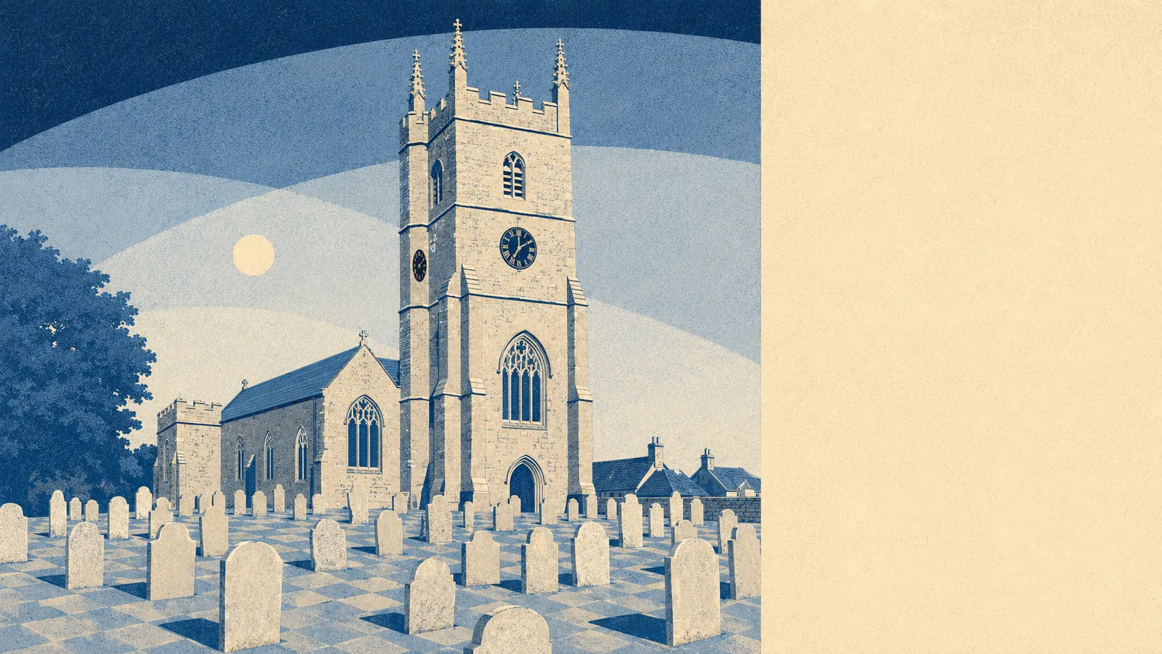
The character comes from the ring of settlements rather than from Winkleigh alone. Bondleigh, Broadwoodkelly, Hollocombe, Ingleigh Green, Wembworthy and a hamlet named Splatt sit around it, each with its own church, its own conservation-area politics in the case of Broadwood-kelly, and its own view of everyone else. Eggesford is the railway station in the wider area. The scheduled monuments carry names like Court Castle, Croft Castle and Millsome Castle, which is three castles more than the average visitor manages to find.
Private outdoor space is where rural living stops being an abstraction. Garden area comes to roughly 348,000 square metres per 1,000 residents. Whatever the house looks like from the road, the thing behind it is generally not a yard with a shed in it.
The business side is modest and worth reading carefully. The non-domestic rating list carries 51 rateable premises across the area. Those are premises with a rateable value, not confirmed trading businesses, so the list describes the fabric of the place rather than what is open on a wet Tuesday in February.
Eating out is limited but not risky. Of the 12 food premises with a published hygiene rating, about 83% hold the top score, and none sits at the bottom end of the scale.
On designations, the record is empty in every direction: no area of outstanding natural beauty, no site of special scientific interest, no ancient woodland. That is not a shortfall. It means the countryside here is farmed and lived in rather than curated, and nobody arrives in a coach to look at it.
The ground around this village is its single strongest asset, and it earns that without a single official label to help it along.