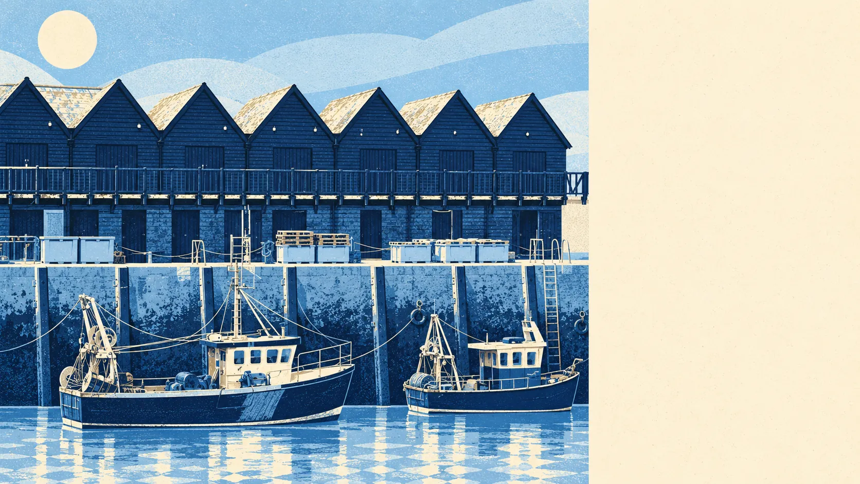
Green, wet and close to the front door, with a working harbour that refuses to be a backdrop. Grass is round the corner from almost every home. The sea is a short walk beyond it. The cycle network runs through the middle of town. The harbour still makes tarmac, which the postcards politely crop out.
Green space is almost impossible to avoid. The average home is about 180 metres from the nearest green space and has about 16 of them within a kilometre. To the south-east sits Duncan Down, protected woodland and grassland, and the slopes at Tankerton roll down to the coast. Nobody here needs to drive to find somewhere to walk the dog; they need to decide which of the sixteen.
Water is the other constant. The average home is about 300 metres from open water, with about 36 bodies of water within a kilometre, which on this coast means the sea, the Swale estuary and the drainage channels threading the marsh at Seasalter. Seasalter Level still carries the remains of medieval salterns, so the town's relationship with salt water is not a recent lifestyle choice.
Getting out into it is easy. The National Cycle Network is about 400 metres from the average home, and about 68% of postcodes sit close to it. The old Crab and Winkle railway line, closed in 1953, now carries walkers and cyclists towards Canterbury on the route the world's first steam-hauled passenger trains once used.
The high street is made of the right things. The valuation list counts 293 shop premises, 27 pubs and 29 restaurants, alongside 186 offices. It also counts 208 holiday lets, which tells you who else is sharing the view in August. The Horsebridge scheme, completed in 2005, added a town square, a community centre and a gallery to what had been a run-down corner of the centre, and that is the quarter where visitors and residents collide.
Across the rating list as a whole there are 1,989 business premises. These are rateable premises on the Valuation Office Agency's list, not a count of businesses trading today, so an empty unit and a busy one look the same on paper.
Eating out is a safe bet. Of 263 rated food premises, about 74% hold the top food hygiene score, and about 2% sit at the bottom. The harbour side of town still runs on fishing and fish processing, so the seafood has had a short trip.
The air is clean by the standards of the south-east. Fine-particle pollution across the Canterbury council area averaged about 6.7 micrograms per cubic metre in 2024. That is a council-wide figure, city traffic included.
The harbour gives the town its edge. Alongside the fishing boats it handles cargo, boat storage and maintenance for an offshore wind farm, and a tarmac plant has sat beside it since 1936. Whitstable Town and Tankerton conservation areas hold the older streets, and Seasalter, Swalecliffe and Chestfield spread the town out to the west and east, with Chestfield's woodland to the south. It is a real town doing real work that happens to have a beach, which is exactly why it has not turned into a set.
Private gardens are generous. Across the town's 22 neighbourhoods, there are about 134,600 square metres of private garden for every 1,000 residents. The bungalows and post-war semis that make up so much of the housing come with plots, and the plots come with lawns.
None of the formal landscape designations overlaps the town's own boundary: no area of outstanding natural beauty, no site of special scientific interest and no ancient woodland inside it. That is not a flaw. The appeal here was never a protected view; it is the sea, the grass and the harbour, all ordinary and all within reach.
The surroundings are Whitstable's real strength, with green space, water and a cycle path so close to every home that the car stays on the drive at weekends. The tarmac plant is part of the view, and the view is better for having something honest in it.