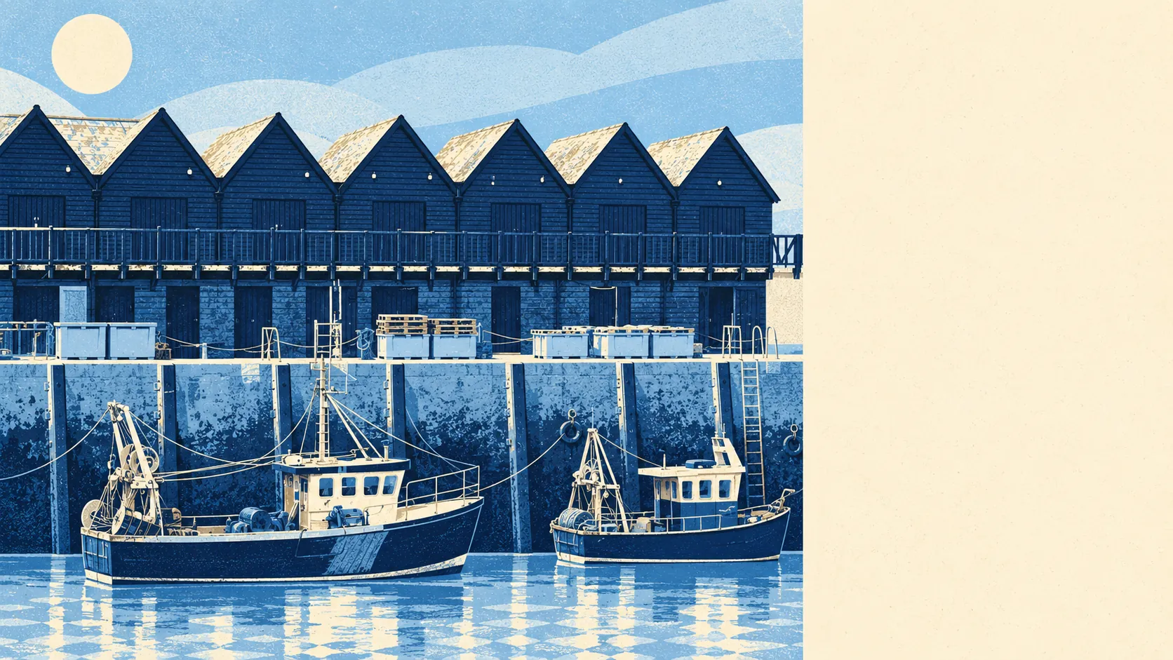
Yes, as long as you know Whitstable is a bungalow town with an oyster festival attached. Bungalows outnumber any other kind of home. Three in four households own outright or with a mortgage. The typical resident is past fifty. The harbour gets the photographs; the cul-de-sacs get the residents.
Most people meet Whitstable at the harbour. Most people who live here go home to a bungalow. On the council-tax valuation list, which covers every dwelling in the town, about 29% of homes are bungalows, 20% detached, 19% semi-detached, 16% terraced and only 14% flats. About 22% were built before 1930, so the fishermen's cottages exist, but the post-war town up the hill outnumbers them comfortably. On energy performance certificates, about 45% of homes rate C or better, 43% sit in band D and about 12% land at E or worse. Around 83% of homes are on mains gas and only about 5% rely on electric heating alone, so the post-war stock keeps its running costs fairly predictable, which is more than the listing photos of the weatherboarded end will tell you.
The Land Registry's last twelve months, to May 2026, show 392 sales at a median of about £383,000. The split by type matters more than the headline. Flats went for a median of about £195,000, terraces about £372,500, semis about £365,000 and detached houses about £502,500. That puts terraces above semis, which is what happens when the old cottage streets near the sea carry a premium that the bigger 1960s semi up the road cannot match. Band C is the most common council-tax band, and about 26% of homes sit in bands A or B.
Renting is priced by the wider council area. The typical private rent across the Canterbury area is about £1,270 a month as of April 2026, from the Office for National Statistics' index. That is a council-wide figure, city included, so it is not a rent for any particular Whitstable street, and a seafront cottage with a view will laugh at it.
Whitstable is safer than its reputation for summer crowds suggests. Police.uk records a rate of about 86 crimes per 1,000 residents in the year to May 2026, below the Canterbury council-area average of about 113 per 1,000. Shoplifting makes up about 22% of recorded crime here against about 8% nationally, which says more about the number of shops and the number of visitors walking past them than about the people who live here. Violence and sexual offences, the broad category that tops the list almost everywhere, sit below the national share.
School results are steady rather than spectacular. Across the five primary schools in the area, the average end-of-primary maths score is about 104, above the national benchmark of 100. At secondary, The Whitstable School is the town's one secondary, and its Attainment 8 score is about 39. Many families look further afield, with pupils commuting to the grammar schools in Faversham and Canterbury, so the secondary question gets decided by a test and a bus rather than by the postcode. Primaries in town include Joy Lane Primary Foundation School, Whitstable Junior School and Swalecliffe Community Primary School.
The trains are there; the commuters mostly are not. Whitstable Rail Station and Chestfield & Swalecliffe Rail Station sit on the line to London Victoria, yet only about 2% of working residents take the train to work. About 35% work from home and about 47% drive. The town has 123 bus stops, averaging about 75 weekday departures each, and every one of them has a weekend service. Gigabit broadband reaches about 79% of premises and superfast about 99%, which explains the working-from-home share better than any lifestyle article. The weak point is hospitals: the Department for Transport's 2019 modelling puts the nearest one about 53 minutes away by public transport.
The sea is the reason to come and the thing to check. The Environment Agency's mapping puts about 11% of postcodes in the highest river-and-sea flood zone and about 17% in the zone below it. On the wider measure, about 25% of postcodes carry a high rating on at least one flood indicator, including surface water. About 23% of postcodes sit in areas with recorded historic flooding, the latest from the sea in August 2007 when the defences were overtopped. The shoreline plan for the coast here is to hold the line for the next century, which is policy, not a guarantee. The consolation is outdoors: the average home is about 180 metres from green space and about 300 metres from water, and the old Crab and Winkle railway line reopened as a footpath and cycleway in 1999.
Heritage rules bite in pockets. The town has 102 listed buildings, one at Grade II* and 101 at Grade II, and seven conservation areas, including Whitstable Town, Tankerton, Church Street, South Whitstable and Chestfield. Inside those boundaries, new windows and front extensions need the council's blessing, and the council has opinions about weatherboarding.
The people match the housing. About 76% of households own their home, the median age is 51, and the average gross household income, as modelled by the Office for National Statistics for the financial year to March 2023, is about £54,400. This page also covers Tankerton on the slopes to the east, Swalecliffe and Chestfield beyond it, and Seasalter to the west, where the town thins out into marsh.
Whitstable suits buyers who want the sea within a short walk, work from home or drive, and like a town with a settled, grown-up pace. It suits downsizers who know exactly what a bungalow is for and are not embarrassed about it.
It does not suit anyone who needs a daily train commute, a hospital close by, or a flat that stays cheap. It suits nobody who buys in the low-lying centre without reading the flood search twice.
The town has form for firsts. It had the world's first entirely steam-hauled passenger railway in 1830 and the first season tickets in 1834, then swapped the locomotive for horses in 1840. Peter Cushing lived here, and the town's notable people take in Harry Hill and Alan Davies, which is a respectable comic record for a place most visitors know for shellfish.
Whitstable is a good place to live, above average and honest about it. Its real strength is the surrounding area: green space and the sea are close to almost every front door. The weak spot is flood risk, and it clusters exactly where the town looks prettiest. Buy up the hill for the life, visit the harbour for the view.