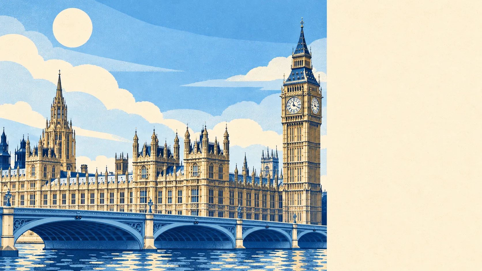
Westminster works as a home once you accept the street outside will be busier than you are, with about 1,020 recorded crimes a year for every 1,000 residents and a quarter of them pockets being picked. For a buyer that figure matters because it describes your daily walk to the shop, and no amount of stucco changes it. What you get back is a royal park at the end of the road, a river a few minutes away and most of London within walking distance. The trade is average overall, and you pay for it in vigilance.
The Metropolitan Police's published rate for the year to May 2026 is about 1,020 crimes per 1,000 residents, roughly 132% above the Westminster average of about 440. The mix shows what kind of trouble it is. Theft from the person makes up 25% of recorded crime here, against under 2% across England and Wales. Violence and sexual offences account for 16%, well under the 35% national share. The rate is calculated against residents, and in a place where most of the people on the pavement went home to Surrey hours ago, a resident-based measure gets a rough deal.
The heritage is not decoration. The area holds 1,270 listed buildings, 123 of them Grade I, and 36 conservation areas reach into it. Changing a window, a door or a roof line here means asking permission, and the answer arrives slowly. Westminster Abbey has hosted coronations since 1066, and the planning officers guarding its neighbours have taken on some of its patience. A sash window in this postcode gets more scrutiny than most bills manage in the chamber down the road.
The river is close, and the flood maps know it. About 79% of postcodes fall in the Environment Agency's highest river-and-sea flood zone, and about 19% of postcodes are rated high on at least one flood indicator once surface water is included. The Environment Agency's property-level assessment, which counts the Thames defences, puts just 8 properties at high risk out of about 11,260 assessed. The latest recorded flood here dates from 1928, when the river overtopped its defences. The abbey was built on Thorney Island, between the arms of the Tyburn, and the zone map still remembers the marsh.
Buying means buying a flat. The Land Registry recorded 123 sales in the year to May 2026 at a typical price of about £780,000, and 122 of them were flats. The official house price index for the area shows the average down by more than a fifth over the same year, so recent buyers have had a cold twelve months. Council tax is where the surprise lands. The most common band is G, only 7% of homes sit in bands A or B, and Westminster's band D bill is still only about £1,050 a year. Band G is normal here, and the bill for it is lower than you would guess.
Renting is how most people live here, and Westminster's typical private rent came to about £3,150 a month as of April 2026, a figure for the whole borough that was down about 4% on the year. By size, the borough averages about £2,500 for a one-bed and about £3,250 for a two-bed. Landlords quote that fall with less enthusiasm than tenants do.
The council tax list shows how the place is built: 94% of homes are flats and 3% terraced houses, with about 35% built before 1930. The energy certificates are better than the age suggests, with 73% of certificated homes rated A to C, though that covers only properties certificated since 2008. Heating is split. About 49% of homes run on mains gas and 29% rely on electric heating alone, so the heating system is worth knowing about before the viewing, especially in an older conversion.
Getting about takes almost no planning. London Victoria and London Charing Cross are both close, and the area has 282 bus stops, each seeing about 789 departures on an average weekday and about 41 in the peak hour. Gigabit broadband reaches about 90% of premises. Around 70% of households have no car, and at the 2021 Census 56% of workers were at home and 15% walked to work. When the office is a ministry on Whitehall, the commute is a stroll past the Cenotaph.
The residents are young, renting and well paid. Only about 27% of households own their home, the typical resident is 35, and the Office for National Statistics models average gross household income at about £74,700 for the financial year to March 2023. Social renting accounts for 31% of households and private renting 41%, which is why Peabody Trust blocks stand a short walk from developments with porters. The Victorian poverty mappers found every income bracket on neighbouring streets here, and the mix has outlived the slum they charted.
Green space is the part of Westminster that earns its place. The average home is about 160 metres from a park or green space, with around 47 of them within a kilometre, and open water is about 340 metres away. St James's Park, Green Park and Victoria Tower Gardens do the job a garden would do anywhere else, and St James's and Whitehall bring in the clubs, the palaces and the parade grounds. Lunch by the lake in St James's Park comes with pelicans and a view of Buckingham Palace, which is a lot to give a flat with no balcony.
Westminster is right for a renter or flat buyer who works centrally, walks everywhere, wants a royal park as a back garden and can keep a phone in a front pocket without resenting it. A family needing a house, a driveway or a street that empties after six should look further out, because the stock is flats and the pavement belongs to the tourists until late.
On the street, safety is the cost: busy pavements, a crime rate several times what a residential suburb carries, and a working assumption that anything left on a café table is a gift. The parks, the river and the walk to everything are what make up for it. Overall it comes out average, a decent home with two of the best gardens in the country and a front door that opens onto everyone else's day out.