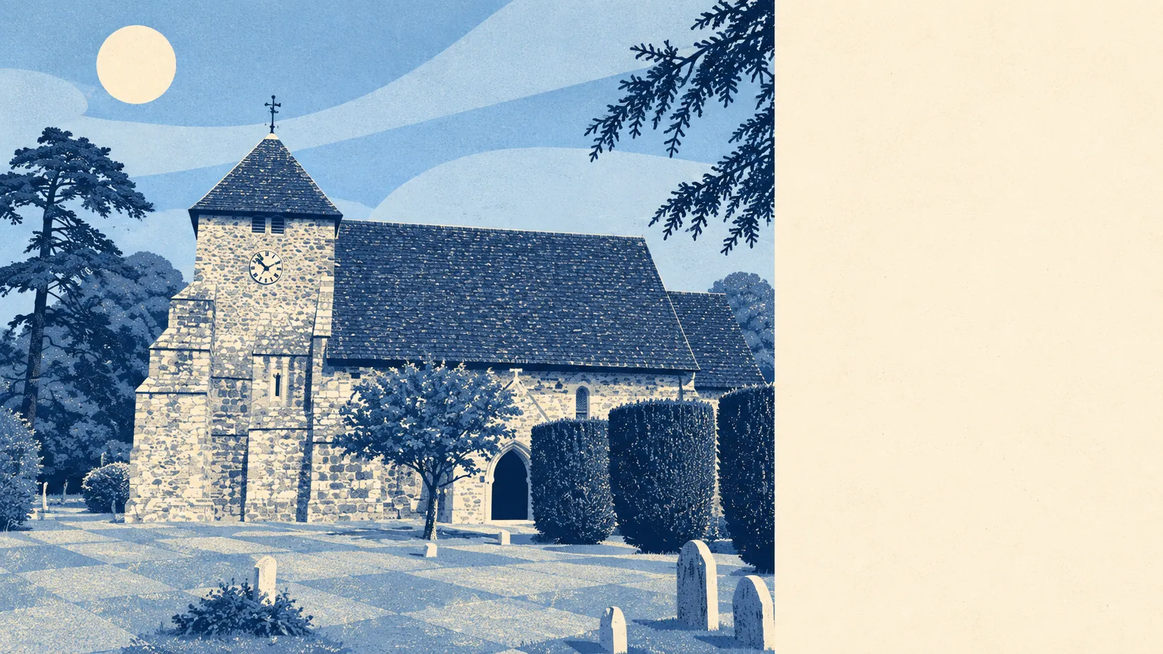
Proper countryside, and there's no getting away from it. Every postcode sits inside a protected landscape. Green space is a short walk away. Ponds and streams are closer than any shop. The village is what fills the gaps between the fields.
Public green space starts close to the front door. The average home is about 223 metres from the nearest green space, with around 7 within a kilometre. That's a better walk to grass than most towns can offer, and it comes without the town.
Water is nearly as close. The nearest blue space, meaning ponds, streams and the like, is about 426 metres from the average home, and there are about 15 within a kilometre. For a village about five and a half kilometres from the coast, there's a surprising amount of water around, just not the kind that makes it into holiday brochures.
Cyclists come off worse. The National Cycle Network is about 5.3 kilometres away on average, and no postcode here counts as close to it, so any family bike ride starts with loading the bikes onto the car. Ancient woodland doesn't overlap the mapped village at all, though the wider parish does contain a protected wood.
For something to eat and drink, the rated-premises data counts 62 shops, 11 pubs and 6 restaurants in the area. The business-rates valuation list covers 34 rateable premises within the village itself, with shop premises and a couple of offices among them, so some of those shops and pubs are in the surrounding area rather than on the main road through Westfield. The listings describe premises, not businesses that are definitely trading.
Eating out is at least clean. All 8 of the rated food premises hold the top five-star hygiene score, and none sit in the low bands. That tells you nothing about the menus, but it rules out one kind of bad evening.
The air is clean too. Fine particles averaged about 6.5 micrograms per cubic metre across the Rother council area in 2024, a district figure rather than one measured in the village.
The whole village, every postcode of it, lies inside the High Weald Area of Outstanding Natural Beauty. That designation is why the landscape looks cared for and why the planners take an interest in anything that might spoil it.
The feel of the place comes from its neighbours as much as from Westfield itself. Brede, Sedlescombe, Three Oaks and Cackle Street are close by, along with a hamlet called Bachelor's Bump, which sounds more like a warning than an address. Farmland and woodland fill in the countryside, and the parish's quieter corners go on long after the houses stop.
Private gardens back up the public space. Across the village's two small census areas, gardens add up to roughly 457,000 square metres for every 1,000 residents. Most people here have a decent patch of their own, which is what a village of detached houses and bungalows should give you.
The business list is short and practical. The 34 rateable premises are shops, offices and other small commercial units rather than any kind of high street. This is a village for living in, and the shopping mostly happens somewhere else.
The mapping finds no Site of Special Scientific Interest and no ancient woodland overlapping the village area itself. That's no mark against it. It just means the protection here covers the wider landscape rather than individual patches of it.
The surroundings are Westfield's real strength: protected landscape on every side, green space and water within easy reach, and gardens big enough to use. Anyone buying here for the countryside is making a good decision.