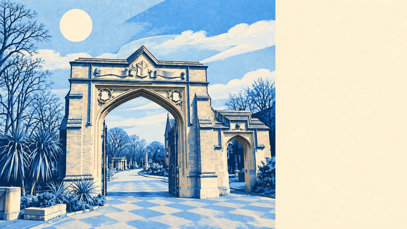
The area around West Norwood is mostly green space with a busy shopping road through the middle. A park is a couple of minutes' walk from most front doors. There are dozens of green spaces within reach. The slopes look out over the City and Canary Wharf. If you want a lot of green space close to central London, few areas offer more.
The average home here is about 130 metres from a green space, with about 34 green spaces within a kilometre. They include West Norwood Cemetery and Crematorium, Norwood Grove and, a little further out, Brockwell Park, The Rookery, Belair and Dulwich Park. The South Metropolitan Cemetery was laid out in 1837 for burials from central London's crowded parishes, and today's residents walk their dogs through what is now a listed landscape.
Open water is about a kilometre away on average, and the average home has fewer than one stretch of water within a kilometre. Most of the scenery here is grass, trees and hillside.
The nearest stretch of the National Cycle Network is about 4.4 kilometres away on average, and no postcodes in the area are close to it. West Norwood sits in a bowl with hills on three sides, so cyclists face a climb in most directions before they reach the network.
The council's valuation list counts 599 rateable business premises in and around West Norwood. They include 259 shops and 44 offices, and the rated-premises data adds 10 pubs and 8 restaurants. These are premises on the list, not a count of businesses open today. With ten pubs and eight restaurants, a night out here still usually means the pub. Norwood High Street had the first shops in the area but never became the main shopping street. The parades built along Norwood Road in the decades around 1900 took that role instead.
Of 152 food premises rated for hygiene, about 59% have the top score and about 3% are at the bottom end. For a busy south London parade, that's a reassuring result.
In 2024, Lambeth's average level of fine particles in the air was about 9 micrograms per cubic metre. That's a borough-wide figure, and parts of West Norwood sit next to busy main roads.
Physically, the area is a valley with the shops and stations at the bottom and residential streets climbing the slopes around it. From many of those streets you can see the City, Canary Wharf and Crystal Palace. Conservation areas such as Rosendale Road, Lancaster Avenue and Leigham Court Road protect much of the older housing on the slopes. Dulwich, Streatham, Tulse Hill and Upper Norwood are all close enough to walk to.
Private outdoor space is decent for inner London, at about 36,000 square metres of garden for every 1,000 residents across the area. That's an average across a mix of flats and houses. A flat in a converted house may share a garden or have none, so ask about outdoor space before you view.
None of West Norwood overlaps an area of outstanding natural beauty, a site of special scientific interest or ancient woodland. The name comes from the old woodland that once covered these hills. A map drawn about fifty years after John Rocque's 1745 survey shows that little of it was left by then except a few coppices.
The surrounding area is one of West Norwood's real strengths. The parks and the cemetery landscape are on the doorstep, and there are views of the City from the slopes above.