West Norwood gets most of the everyday things right, and the one thing it gets wrong runs downhill. Parks are a few minutes from most front doors, the streets are calmer than the rest of Lambeth, and the shops, buses and two stations all line up along Norwood Road at the bottom of the valley. The trouble is that rain heads the same way. It works best for people who want south London close at hand without paying extra for a famous postcode.
The Metropolitan Police's published figures put recorded crime at about 102 per 1,000 people in the year to May 2026, about 32% below the Lambeth average. The mix leans towards nuisance and cars. Anti-social behaviour makes up about 24% of recorded crime here against 16% nationally, and vehicle crime about 10% against 5%, while violence and sexual offences take a smaller share than the national figure. For the roughly half of households with no car, that last statistic is somebody else's problem.
The people are young-ish and fairly well paid. The typical resident is 37, about 43% of households own their home, and the Office for National Statistics models gross household income across the area at about £75,000 in the year to March 2023. That's an earning population that mostly rents. The salaries have arrived. The deposits, on this evidence, are still being saved.
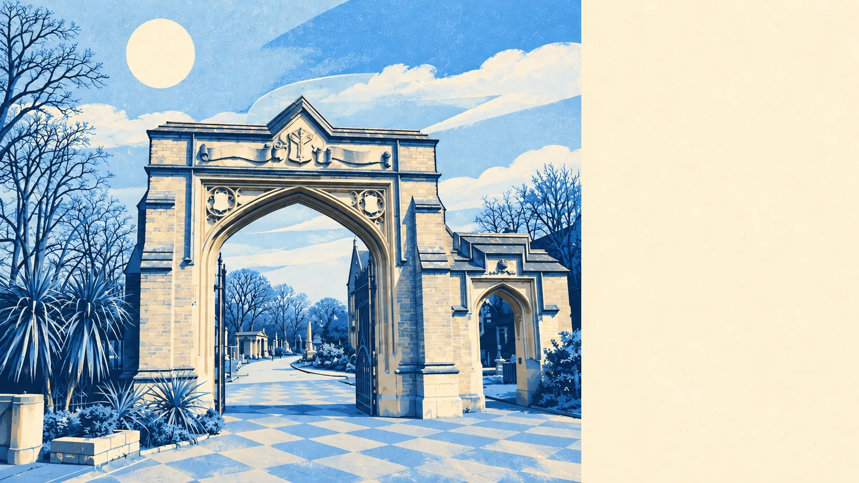
For a place most visitors know for its cemetery, the protected-building count is high. There are 115 listed buildings in and around West Norwood, one of them Grade I and 11 Grade II*, and 12 conservation areas, including the Leigham Court Estate, Rosendale Road and Norwood Grove. Three entries are on Historic England's Heritage at Risk register. If you're planning a loft conversion on the Leigham Court Estate, talk to Lambeth before you talk to a builder.
The Land Registry's last twelve months, to May 2026, give a typical sale price of about £565,000 across 182 sales. Flats went for about £395,000, terraced houses about £708,000 and semis about £862,500. The spread is wide enough that "West Norwood prices" means very little until you say which kind of home. Council tax goes easier on you. Band C is the most common, and about 22% of homes are in bands A or B.
Lambeth as a whole puts typical private rent at about £2,530 a month as of April 2026, up about 7% on a year earlier. That's a borough average, so it covers everywhere from riverside new-builds to a one-bed over a shop on Norwood Road. With most households renting, this is the number that matters to most people living here.
The council-tax valuation list says about 62% of homes are flats, 22% terraced and 14% semis, with detached houses at around 2%. About 54% were built before 1930. The history explains it. The railway arrived in 1856, and over the next four decades many of the big villas and their gardens were replaced with more modest housing. Plenty of what's left has since been split into flats. About 47% of homes with an energy certificate are rated C or better and about 12% are E or worse. Around 76% of homes are on mains gas, and about 7% rely on electric heating alone.
Getting about is easy as long as you're happy on a bus. West Norwood station is at one end of the main shopping road, and Tulse Hill, West Dulwich and Gipsy Hill are all nearby. The nearest Tube stations are at Brixton and Balham, a bus ride away. There are 78 bus stops in and around the area, averaging about 365 weekday departures each and about 20 in the peak hour. About 47% of working residents worked from home at the 2021 census, and gigabit broadband reaches about 90% of premises, which makes that easier. Only about 8% commuted by train. People who live here and work in town tend to cut the trip down to the days that need it.
Flood risk is the weak spot, and it comes from rain. None of West Norwood's postcodes are in the Environment Agency's river-and-sea flood zones, yet about 16% of postcodes register a high risk on at least one flood indicator once surface water is counted. Another 13% register a medium risk. The River Effra used to run beside what is now Elder Road and was prone to flooding. Build a town in a bowl and the water still finds the lowest point.
Green space is where West Norwood does best. The average home is about 130 metres from a green space, with about 34 green spaces within a kilometre. They include the listed landscape of West Norwood Cemetery, Norwood Grove and the slopes with views of the City and Canary Wharf. The nearest open water is about a kilometre away. Most people here have a park closer to home than a bus stop.
Overall it's an above-average place to live. It's a strong pick for renters, the car-free and people working from home who want greenery and calmer streets close to central London. They'll use the parks every day and rarely worry about the Tube. A buyer who wants a basement flat or a low-lying garden near the old line of the Effra should check the surface-water picture carefully, or buy further up the hill.