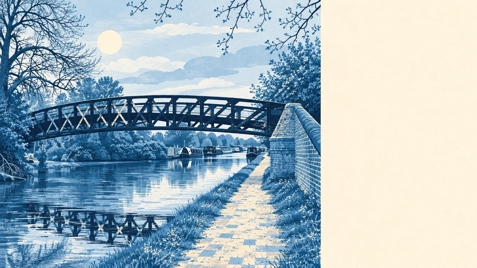
West Drayton is greener and wetter than anyone flying over it would guess. Parks within a few minutes of most front doors. Water within a short walk. Proper private gardens behind the houses. The scenery is better than the high street.
The average home in West Drayton is about 160 metres from the nearest public green space, and about 22 green spaces lie within a kilometre of a typical address. Stockley Park has a country park and golf course next to its offices, and the Colne Valley Regional Park lies along the western edge of the town. Nobody here needs to drive to walk the dog, and the dog has around 22 options to choose from.
Water is just as close. The average address is about 370 metres from the nearest blue space, with around 50 ponds, lakes, rivers and canal stretches within a kilometre. Cowley Lock and Uxbridge Moor, both conservation areas to the north, take their names from the water that runs past them. For a town most people know as the land next to an airport, West Drayton has a surprising amount of water.
Cycling into the countryside takes a bit more effort. The nearest stretch of the National Cycle Network is about 2.5 kilometres from the average home, and only about 0.3% of postcodes are close to it. There is no ancient woodland in the area. The Celandine Route, a walking trail, starts in West Drayton and runs north towards Pinner, which gives walkers an easier way out than cyclists get.
On the business-rates list, the area has 212 shops, 10 pubs and 16 restaurants alongside 300 offices. That is a working town with more desks than dining tables, and a Friday night out mostly means choosing between ten pubs.
Hillingdon averaged about 8.2 micrograms of fine particles per cubic metre of air in 2024, a figure for the whole borough, airport included.
The character comes in layers. The Green, in the west of the town, is a conservation area lined with listed houses and shops, and Harmondsworth Village and Longford Village keep their own old cores on the airport side. Yiewsley sits north of the railway, Sipson towards the airport perimeter, and between them come post-war estates, the business parks and the main line. West Drayton has a village green and a business park, and residents use both.
Homes have real gardens. West Drayton has about 50,000 square metres of private garden for every 1,000 residents, measured across all 23 of its neighbourhood areas. That is a good deal of outdoor space for a town where almost half the homes are flats, and it means the houses tend to make up for what the flats lack.
The Valuation Office rating list holds 1,166 business premises in the area. Offices are the largest group, at 284, then 204 car parks and 201 shops, with warehouses and industrial units behind them. These are rateable premises on a valuation list, which is not the same as businesses currently trading. West Drayton has more car parks on the rating list than shops, which is what happens when the neighbour is an international airport.
The Food Standards Agency has rated 176 food outlets in the area. About 56% hold the top score of five, and about 14% sit at the low end of the scale. Most places pass comfortably, and a minority would struggle with a surprise visit.
No area of outstanding natural beauty, site of special scientific interest or ancient woodland overlaps the area. That means very little of the green space here is protected for its wildlife. It is there for the people who live next to it, and they make good use of it.
Green space and water are one of West Drayton's real strengths. Whatever else people say about the town, a park, a lock or a lake is almost always a few minutes from the door.