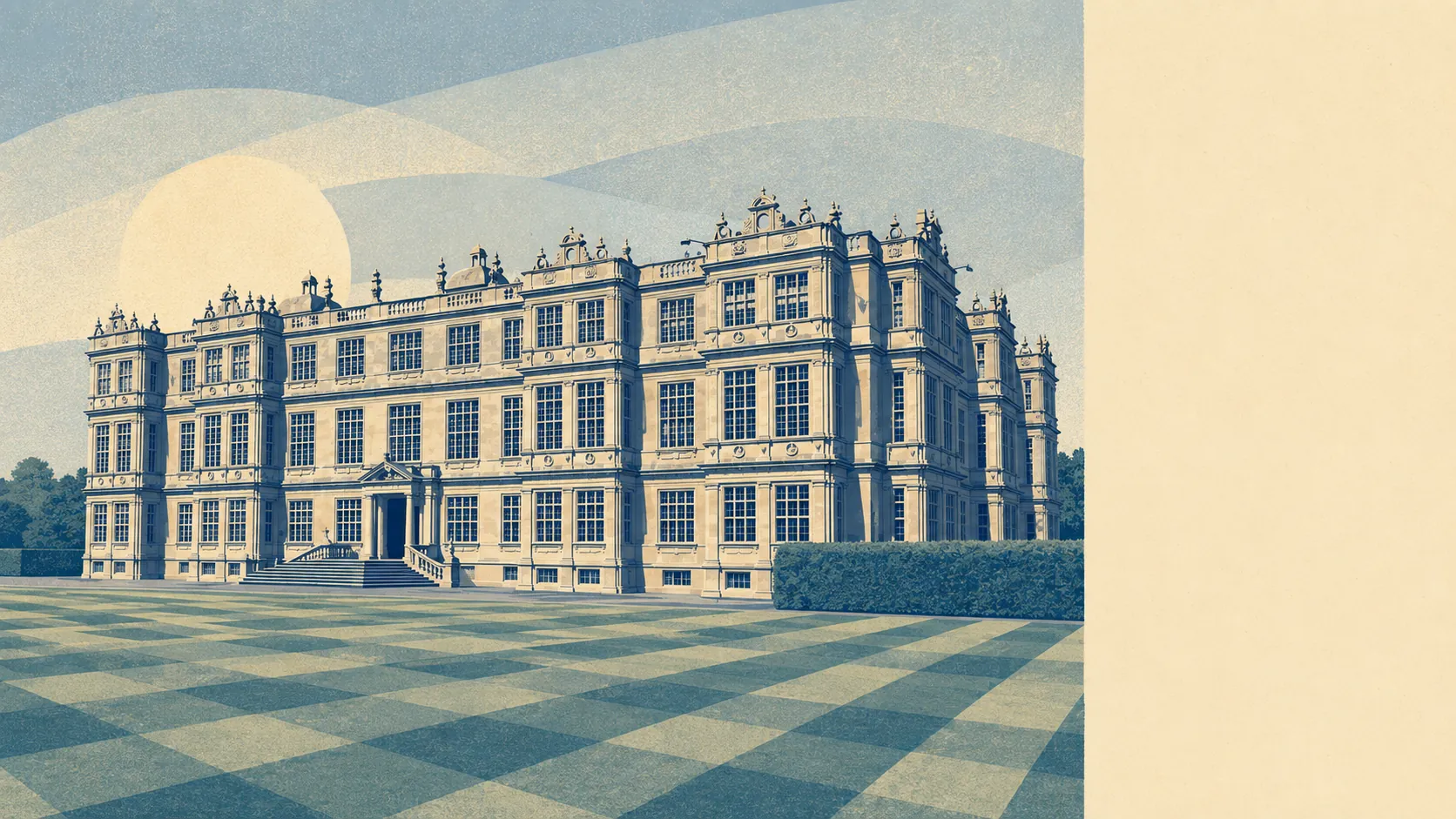
The countryside starts about two streets from the middle of Warminster and then does not stop. Green space sits on almost every doorstep. Water is close behind it. The two biggest employers out here are a stately home with a safari park and a holiday forest, which tells you what the local economy has decided the landscape is for. This is not scenic countryside that poses for photographs. It is working country with a leisure industry bolted onto the side of it.
Green space access is the standout figure. A Warminster postcode sits an average of around 160 metres from open green space, with roughly 19 separate green spaces within a kilometre. That is doorstep access rather than drive-to access, and it is the sort of number that usually belongs to a village rather than a town of this size.
Water is nearly as close. Blue space averages around 370 metres away, with roughly 24 separate water features within a kilometre. The Were runs through the town on its way to join the Wylye south-east of it, and the valley bottoms do the rest.
For getting out under your own power, the National Cycle Network runs an average of around 880 metres from a postcode here, with about 20% of postcodes sitting close to it. That puts a meaningful slice of the town within a few minutes of a proper route rather than a shared pavement.
The commercial fabric is more substantial than the population suggests. The valuation list records 536 rateable premises across the area, including 214 shops, 115 offices, 33 pubs, 24 holiday lets and 12 restaurants. A town supporting 33 pubs is not a town that has surrendered its evenings, and the holiday-let count is the quiet signal of how many people come here for the surrounding land rather than the high street.
Air quality is unremarkable in the way you want it to be. Fine particulate levels across the Wiltshire council area measured about 6 micrograms per cubic metre in 2024, which is a rural-county figure rather than a roadside one.
The character comes from the geography, and the geography is emphatic. Six hills ring the town, several of them carrying Iron Age earthworks: Battlesbury Camp and Scratchbury Camp to the east, Cley Hill to the west, with Cop Heap and Arn Hill Down closer in. Woodland and estate land lie to the west, a major country estate and a holiday village sit within reach, and the West Wilts golf course has occupied Elm Hill since 1891. Beyond the built edge, the villages take over: Crockerton, Corsley, Sutton Veny, Longbridge Deverill, Upton Scudamore, Norton Bavant, Bishopstrow. This page also covers Kilmington and Zeals out towards the western county boundary, where the same chalk-and-lane logic applies with fewer shops.
Private outdoor space is generous, which matters more than any public green space figure to anyone who wants a shed. Across the 13 neighbourhoods measured, gardens run to around 147,000 square metres per thousand residents. That is a lot of lawn per person, and it is the number that separates a town like this from anywhere the same money buys a flat with a balcony.
Eating out is safer than average on the paperwork. Of the 86 rated food premises across the area, about 80% hold the top hygiene score and about 4% sit at the bottom of the scale. Those are food safety ratings rather than a verdict on the cooking, and nobody should confuse the two.
One honest absence is worth naming: no area of outstanding natural beauty, no site of special scientific interest and no ancient woodland overlaps this area. The landscape here is genuinely good without carrying a national designation, which mostly means fewer bureaucratic layers over the land and no coach parties looking for a signposted view.
The surrounding country is the best thing about living here, and it is not a close contest. Green space on the doorstep, water minutes away, gardens with actual room in them, and hills that have been worth climbing since the Iron Age.