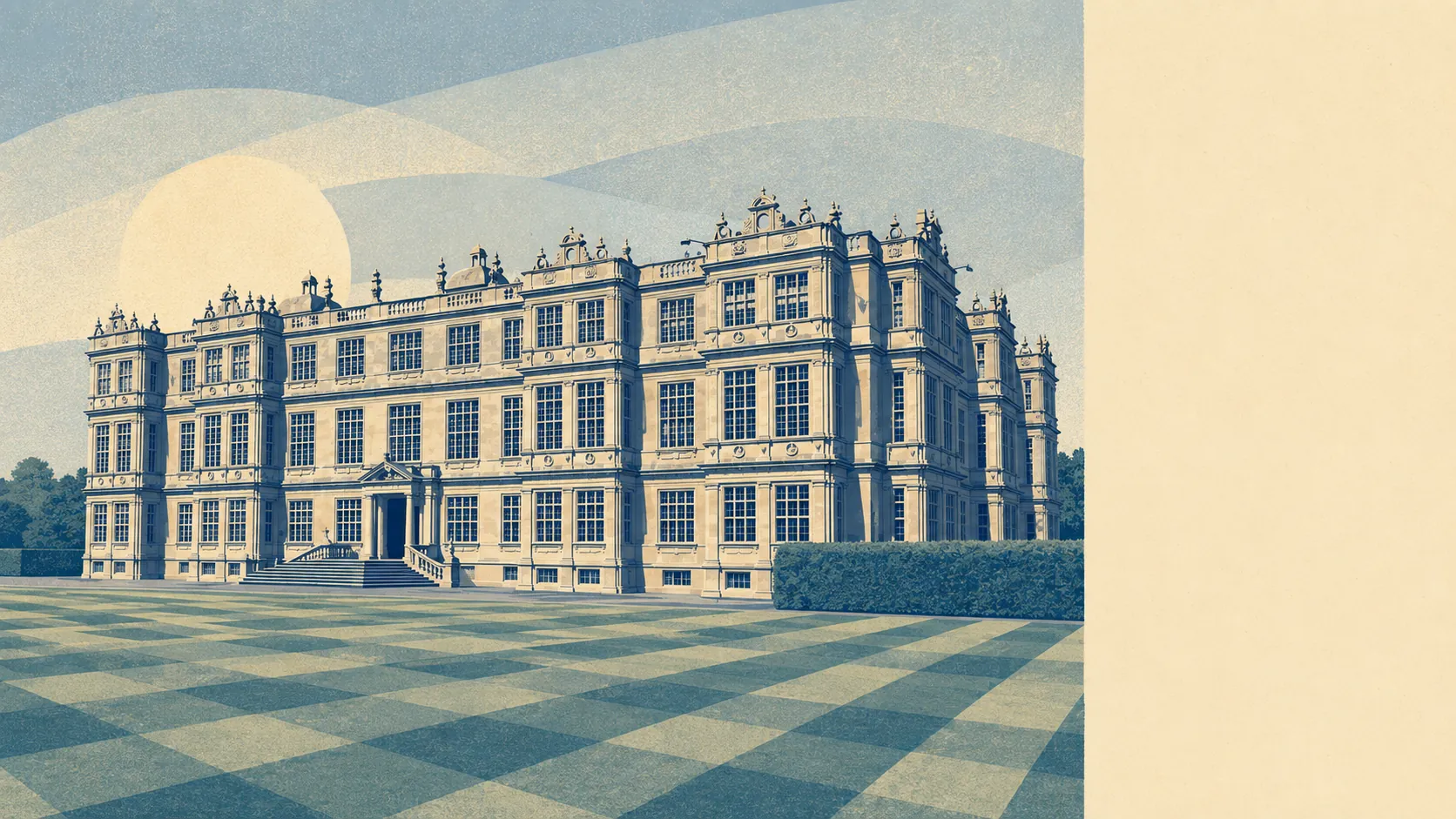
Most people in Warminster can extend, and a few hundred households will find out the hard way that they cannot, or not without a long conversation first. The town carries a couple of hundred listed buildings. Three conservation areas sit over its older grain. The bulk of the housing stock is post-war and protected by nothing more than the neighbours' opinions. The constraint here is narrow and sharp rather than broad and vague, and everything depends on which side of a boundary line your deeds happen to fall.
Historic England's register lists 227 listed buildings in and around the town: 1 at Grade One, 12 at Grade Two Star and 214 at Grade Two. Listing is the constraint people consistently underestimate, because it covers the whole building rather than the frontage, and the inside as much as the outside. Replacing a staircase, opening up a chimney breast or fitting different windows all become matters requiring listed building consent, which is a separate application from planning permission and answers to different tests. Doing the work first and asking afterwards is not a planning irregularity. It is a criminal offence.
Three conservation areas cover Warminster itself, Boreham Road and Bishopstrow. Inside one, the council takes an interest in things it would otherwise wave through: what a window is made of, what happens to a front boundary wall, whether a tree comes down. Permitted development rights are commonly narrowed within conservation areas, so the extension your friend built two streets away is not automatically the extension you are allowed to build. Check the boundary before you pay an architect, not after.
There are also 3 scheduled monuments within the area, which is the strictest protection tier in the country and the one where the answer is usually a flat no. Warminster sits among the hillforts and burial mounds of the Plain, with Battlesbury Camp and Cley Hill among the archaeology on its doorstep. This matters mainly if your land adjoins one, in which case groundworks stop being a builder's question and become a national one.
None of which means the town has stopped altering itself. Wiltshire Council's planning register recorded 903 applications across the area between April 2024 and June 2026, including 396 in the last twelve months. That is a steady volume of people extending, converting, reroofing and adding rooms, which is the most useful evidence available that ordinary domestic work does get done here.
Ground conditions deserve a look before the foundations get quoted. The British Geological Survey puts the area's maximum shrink-swell class at 3, with about 22% of the area reaching that class or higher, which is the clay-movement hazard that decides how deep your footings need to go and how nervous you should be about the mature tree next to the proposed kitchen. Every other geological hazard in the area, from landslides to soluble rocks to running sand, sits at the lowest class. This is a foundation-depth conversation with a structural engineer, not a reason to abandon the plan.
Practically, the split is clean. If your house is unlisted and outside those three conservation areas, which describes most of the town's post-war stock, ordinary permitted development is the starting point and a rear extension or loft conversion is a normal project. If your house is listed, or sits inside a conservation area, assume consent is required for work you would not otherwise think twice about, and assume the answer depends on materials and detail rather than on size alone. The only reliable way to know which category you are in is to check the address against the register and the conservation area map before you exchange.
Freedom to alter a home sits at the more constrained end of what this town offers. The heritage is genuinely dense for a place this size, and while most houses escape it entirely, the ones that do not are subject to a level of control that catches buyers out with impressive regularity.