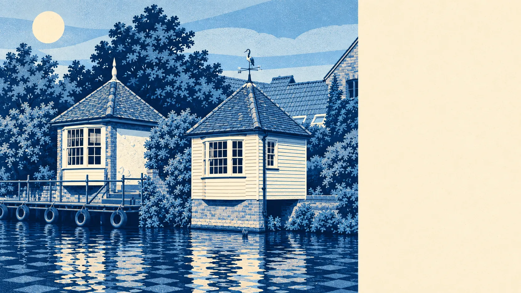
The country around Ware starts close to the back door, and the River Lea runs straight through the middle of it. Green space is a couple of minutes' walk from most homes. Water is barely further. The towpath leads to Hertford one way and Hoddesdon the other. For a busy commuter town, Ware keeps an unusual amount of outdoors within reach.
The nearest public green space is about 160 metres from the average Ware home, and there are about 20 green spaces within a kilometre. That covers parks, playing fields, meadows and listed landscapes such as Poles Park, Fanhams Hall and Youngsbury. Few Ware residents have to cross a main road to find grass.
Water is about 230 metres away on average, with about 66 bodies of water, stretches of river and channels within a kilometre. Four rivers meet at Hertford upstream, the Lee Navigation begins there, and a seasonal waterbus runs between Hertford and Ware. The Rib joins from the north past Thundridge and Wadesmill, so a lot of Ware's countryside is valley floor with water in it.
The National Cycle Network is about 530 metres from the average home, and about 54% of postcodes are close to it. Route 1 runs up the valley on the riverside paths through Ware towards Hoddesdon, Cheshunt and down to Stratford, and the route west follows the towpath and the Cole Green Way out of Hertford. Ancient woodland does not reach into the town at all.
The high street and its surroundings hold 237 shops, 60 pubs and 25 restaurants on the property records. That is a town where an evening out still starts at the bar and ends with a takeaway. Of the 126 food businesses rated for hygiene, about 83% hold the top score of five.
Air quality across East Hertfordshire averaged about 7.2 micrograms of fine particles per cubic metre in 2024, a figure for the whole council area.
The landscape is old and well used. The gardens of the former Amwell House, with Scott's Grotto, and Amwell Grove and Amwell Pool lie towards Great Amwell, with Stanstead Abbotts and Stanstead St Margarets further down the valley. Wareside, Babbs Green and Hunsdon sit in the farmland to the east, and Standon, Braughing and Albury lie further out to the north. Inside the town, the Buryfield Recreation Ground was set up in 1931 on charity land, and part of it now lies under the drug company's multi-storey car park, which is about the right balance for Ware.
Private gardens add to all of that. Across Ware's neighbourhoods there are about 108,000 square metres of garden for every 1,000 residents, enough that a proper back garden is normal and a balcony is the exception.
The valuation list for the area holds 499 rateable premises, with shops and offices the two largest groups, followed by warehouses, workshops and restaurants. These are properties on the rating list and may not all be trading, but the mix fits a working town more than a dormitory.
Eating out is fairly safe. About 83% of Ware's 126 rated food premises have the top hygiene score, and about 2% sit at the low end. The pool is big enough for the figure to mean something, and the kitchens mostly hold up.
No area of outstanding natural beauty, site of special scientific interest or ancient woodland overlaps the town. The protected landscapes lie further out, and the nearest named one is Patmore Heath, a Site of Special Scientific Interest near Albury. The countryside around Ware is farmland and river valley used every day, without a label to protect it.
The surroundings are Ware's real strength. River, towpath, parks and fields all sit within a short walk of most homes, which counts for more here than any designation would.