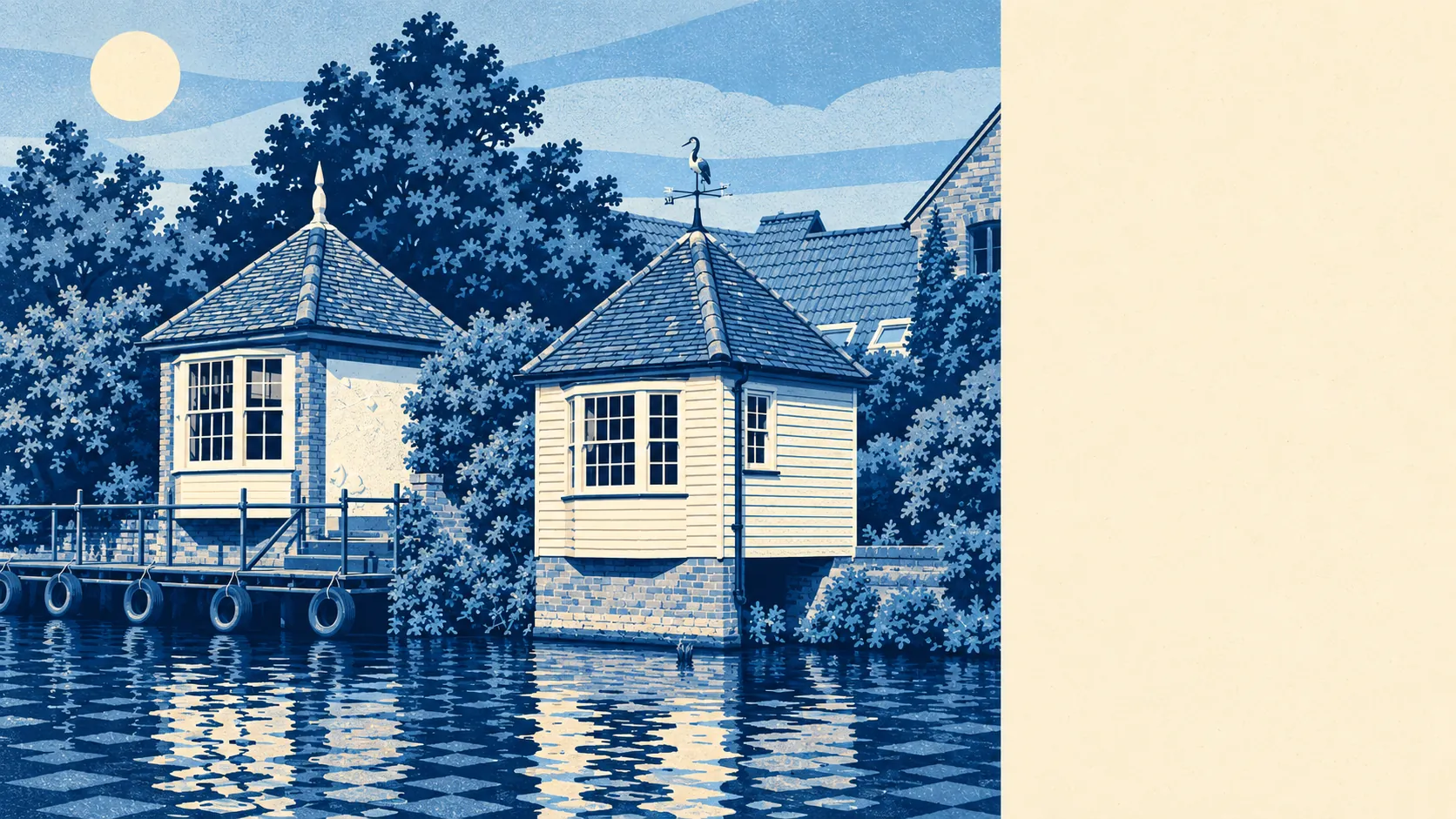
Ware gets more right than wrong, and most of what it gets right starts within a few minutes' walk of the front door. It is an old malting town on the River Lea, mostly owned by the people who live in it, with fields at the edges and a branch line into London. The weak spot runs straight through the middle of town, and it is wet.
The best fit is a household that wants a proper town with old bones and open country close by, and has the patience for the paperwork that comes with both. Historic England's list carries 225 listed buildings in and around Ware, four of them Grade I and 16 Grade II*, and two conservation areas cover the old town and Great Amwell. A listed house needs consent before a window changes, and inside the conservation areas even unlisted homes face tighter rules on what happens to the outside. Buyers who want an old house to keep looking old will be content. Buyers who want an old house with new plastic windows are signing up for a long correspondence with East Hertfordshire's planners.
Hertfordshire Constabulary's published figures put Ware at about 68 recorded crimes per 1,000 residents in the year to May 2026, roughly 3% below the East Hertfordshire average of about 70. Anti-social behaviour makes up about 21% of the town's recorded crime against about 16% across England and Wales, the usual pattern for somewhere with a high street, a station and pubs. Ware's most famous breach of discipline is still the mutiny of 1647 at Corkbush Field, when soldiers refused to sign a loyalty declaration and one ringleader, Trooper Richard Arnold, was shot. The modern caseload is smaller in ambition.
About 68% of households own their home, the typical resident is 42, and the Office for National Statistics models gross household income at around £67,000 for the financial year to March 2023. That adds up to a town of people midway through a mortgage who intend to finish it here.
Ware station is on the Hertford East branch to London Liverpool Street, and St Margarets (Herts) serves the villages further down the valley. At the 2021 census about 4% of working residents took the train, 42% drove and 38% worked from home, so the railway features more heavily in the sales particulars than in most residents' week. Gigabit broadband reaches about 89% of the town and superfast about 99%. There are 78 bus stops, averaging about 50 weekday departures each, and 97% of those with timetable data have a weekend service.
The Lea made Ware a trading town, and it is also the problem. About 6% of postcodes fall in the Environment Agency's highest-risk river-and-sea flood zone and about 19% in the wider zone 2, while about 13% of postcodes rate high on at least one flood indicator once surface water is counted. The Environment Agency holds records of 164 flood events, the most recent from the main river in December 1968. A long dry spell reflects well on the defences, but the river has made no commitments about the next one.
The Land Registry's last twelve months, to May 2026, give a typical sale price of about £430,000 across 254 sales. Flats went for about £245,000, terraces £440,000, semis £535,000 and detached houses £795,000. The step from terrace to semi is where Ware charges for only having a neighbour on one side. Band C is the most common council tax band, with about 16% of homes in A or B. On the renting side, the Office for National Statistics puts typical private rent across the whole of East Hertfordshire at about £1,500 a month as of April 2026, a district average that takes in plenty of places besides Ware.
On the council tax list, about 32% of homes are flats, 26% semis, 24% terraces, 14% detached and 4% bungalows, and only about 16% were built before 1930. Of the homes with an energy certificate, about 52% are rated A to C and about 14% E or worse. Mains gas heats about 74% of homes, and about 15% rely on electricity alone. The listed buildings get the postcards. The post-war semis and flats house most of the town.
Ware has two secondary schools, Presdales School and The Chauncy School. Presdales opened in 1906 as Ware Grammar School and takes girls from 11 and boys only into the sixth form, while Chauncy is mixed throughout. With two secondaries and one of them girls-only below the sixth form, parents of boys work out the admissions question fairly fast. The one secondary in the local postcode districts with published results averaged an Attainment 8 score of about 53, and the three local primaries averaged about 103 in Key Stage 2 maths. Ofsted's picture across Hertfordshire is county-wide, with 203 of 227 graded settings rated good or better.
The surroundings are where Ware earns its keep. The nearest green space is about 160 metres from the average home and water about 230 metres, with the National Cycle Network about 530 metres away. Beyond the town lie Great Amwell, Stanstead Abbotts, Thundridge, Wareside, Hunsdon, Standon and Braughing, with Sacombe, Tonwell and Chapmore End up the lanes to the north. In the 17th century Ware became the source of the New River, built to carry fresh water down to London. The water went south and the countryside stayed put.
Henry Coddington, Vicar of Ware from 1832 and an inventor in optics, would recognise the view, and Russ Ballard of Argent lives between Ware and Thundridge.
Ware is a better-than-average place to live, for the right buyer. That means a family or commuting couple who want fields and towpath within a short walk, a town big enough to have its own secondaries, and an old centre that will never be knocked down. Anyone whose shortlist property sits low by the Lea, or who wants a period house without the period rules, should keep looking. Up the slope from the river, the town gives better value than its maltings ever did.