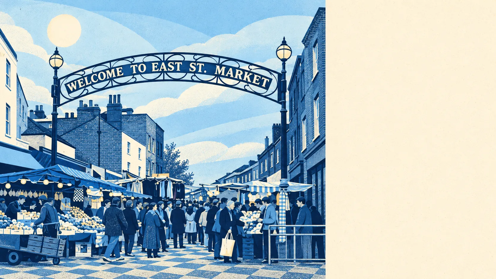
Walworth has 168 listed buildings, and almost every home here is a flat, so whatever you buy is very nearly what you will be living in when you sell. Loft plans, new windows and back extensions go through the conservation officer before they go anywhere else. Everything else lands somewhere in the middle. The parks are close, the schools are strong, the pavements are busy and the flood map looks worse than the risk behind it. It is a fair, middling place to live, provided you leave the walls alone.
Historic England's register puts one Grade I building, one Grade II* and 166 Grade II in the area. Twenty-three conservation areas cross the map around SE17, including Addington Square, Kennington Park Road, Grosvenor Park and Eliot's Row. In practice the planning question on most streets is less "can I build?" than "who else gets a say?", and the answer is usually several people with clipboards. The Pullens buildings were put up as Victorian live/work flats, with some homes still opening straight onto workshops in the yards. More than a century later they are still the most adaptable homes in the district, because their adaptations were done before anyone thought to list them.
The Metropolitan Police recorded about 203 crimes for every 1,000 residents in the year to May 2026, roughly 29% above Southwark's own rate of around 158. The mix matters more than the total. Theft from the person makes up about 13% of recorded crime here, against under 2% across England and Wales. Anti-social behaviour is 22% against a national 16%. Violence and sexual offences come in at about 20%, well under the national share of 35%. So most of the risk is to your phone on a crowded pavement and much less of it is to you. Across the whole Metropolitan Police area about 10% of crimes ended in a charge over the same year, below the national 12%. That is a London-wide figure, and it is the one that tells you how often a lifted phone comes home.
The Environment Agency's river-and-sea flood zones put about 86% of Walworth's postcodes in Zone 3, the highest band, and another 9% in Zone 2. The same agency's risk-of-flooding assessment, which models the defences as well as the ground, puts none of the district's properties above its "very low" band. On a wider measure that includes surface water, about 8% of postcodes carry a high reading on at least one flood indicator and 12% a medium one. The zone map shows the land as if the defences weren't there and the risk assessment shows it with them standing, which is why the two disagree so loudly.
Only about 18% of households own their home. Nearly half rent from the council or a housing association and another 29% rent privately. The typical resident is 33. The Office for National Statistics models typical gross household income at about £66,100 for the financial year to March 2023, averaged across the area. It is a young district, and most of it rents. People here would sooner live close to central London than own a bigger place further out.
Elephant & Castle station is on the doorstep. There are 80 bus stops in and around the district. On a typical weekday each sees about 850 departures, and about 46 an hour at the morning peak. At the 2021 Census about 20% of working residents took the bus to work and 3% the train, while about 42% worked from home. About 70% of households have no car, and with buses that frequent nobody has had to ask why. Gigabit broadband reaches about 89% of premises. The Department for Transport modelled the public-transport trip to the nearest town centre at about nine minutes, but that was in 2019, and bus timetables have changed since.
The Land Registry recorded 148 sales in the year to May 2026, at a typical price of about £475,000. Flats made up 118 of those sales at around £440,000. The 30 terraced houses went for about £845,000. The gap between the two is what a front door opening straight onto the street costs here. Band B is the most common council tax band, and about 42% of homes are in Band A or B.
Across Southwark, typical private rent is about £2,400 a month on the Office for National Statistics' April 2026 index. That figure covers the whole borough, so it is a guide for this district rather than its own rent.
The council-tax valuation list makes Walworth about 89% flats and 9% terraced houses, with almost no semis and no detached homes at all. About 21% of homes were built before 1930. Energy certificates rate about 72% of certificated homes in bands A to C, which is what you get when most of the housing is post-war blocks and newer builds. Under half of homes, about 47%, are on mains gas. About 17% rely on electric-only heating, so ask what heats the flat before you start deciding where the sofa goes.
The nearest green space is about 62 metres from the typical front door, with around a hundred within a kilometre. The nearest water is about 630 metres away. In a district of flats, the parks are where everyone's garden went.
Charles Babbage, Robert Browning, Samuel Palmer and the diarist Fred Bason all have Walworth on their record, and Charlie Chaplin was born here in 1889. Browning also has a primary school named after him. St Peter's Church, built by Sir John Soane around 1825, shows that the merchants living here then had serious money. The merchants moved on and the church stayed listed.
Walworth works for a young renter or first-time flat buyer who has no car, wants a park nearby and needs to reach central London fast. It is the wrong place for anyone whose five-year plan involves a loft conversion, a kitchen extension or a garage. The parks, the green space and the buses are what make living here easy. Changing the building is where it gets hard. Between the listings, the conservation areas and a housing stock that is nearly all flats, the home you view is the home you get, give or take a coat of paint. For buyers who accept that, Walworth is a decent, unremarkable place to live.