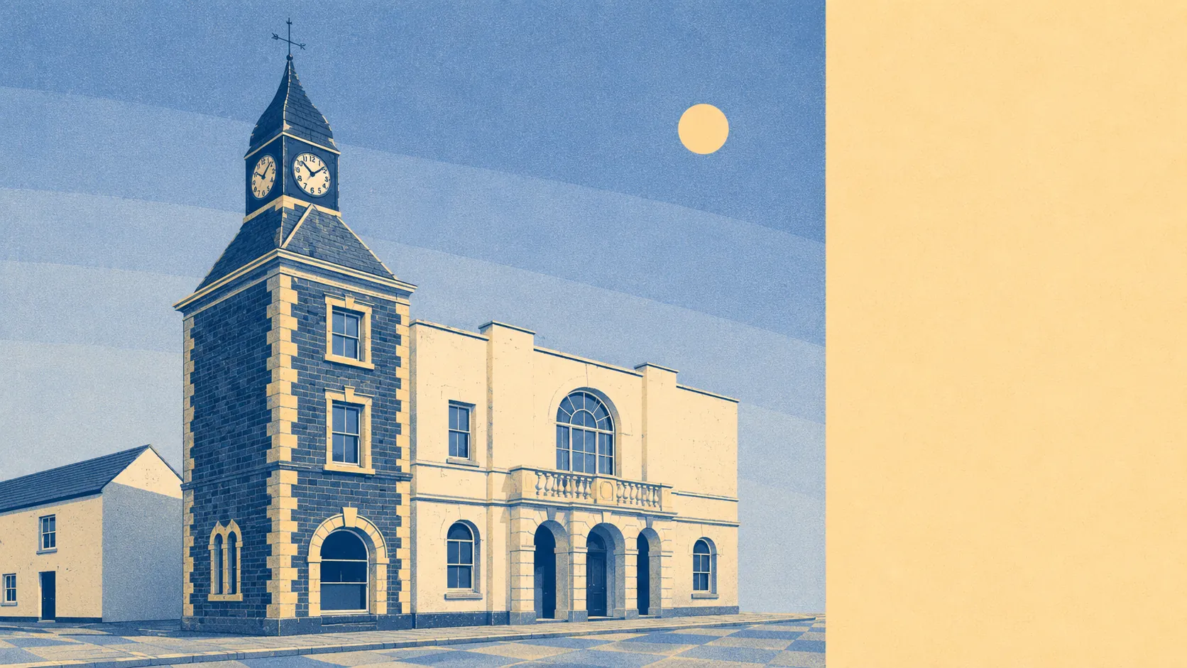
The setting is the best thing Wadebridge has, and it is not close. Water sits a couple of hundred metres from the average doorstep. Around fourteen separate green spaces fall within a kilometre. The old railway is now a cycle path along the estuary, and almost nobody lives far from it. No national landscape designation covers any of this, which appears to have gone unnoticed by the landscape itself.
Green space access is close to as good as this measurement gets. Across the area, the average distance to a green space is about 170 metres, with roughly 14 of them within a kilometre. That is not a park at the end of the town and a long walk to anything else. It is green space as the default surface between the houses.
Water is the other half of it. Open water averages about 230 metres from a postcode here, and there are around 105 separate stretches of it within a kilometre, which is what happens when a town grows up around a tidal river and its creeks rather than beside a single stretch of coast. The Camel gives the place its shape, and the estuary below the bridge carries sailing, windsurfing, surfing and kite surfing depending on the tide and the mood.
Getting into all of it is unusually easy. The National Cycle Network runs an average of about 330 metres from a postcode, and 78% of postcodes sit close to it, largely because the Camel Trail follows the old railway line straight out of town. There is no ancient woodland recorded in the area, so the greenery here is estuary, farmland and open ground rather than deep old forest.
The commercial mix is a proper market town rather than a resort strip. The area carries 290 shops, 30 restaurants and 28 pubs, which is a serious count for a town this size and reflects the fact that a lot of villages do their weekly business here rather than anywhere else.
On air, the council area records fine particle levels of about 5 micrograms per cubic metre for 2024. That is a Cornwall-wide figure rather than a reading taken on Molesworth Street, and it is the sort of number that only gets interesting when it is much higher.
The character comes from what sits around the town rather than what sits in it. Egloshayle is over the river, and the lanes run out to Chapel Amble, Burlawn, Sladesbridge, Whitecross and St Kew Highway, all of them small and none of them pretending otherwise. The prehistoric layer is genuinely close by, with the portal dolmen at Pawton Quoit and the hillfort at Killibury within reach. Golf sits at Trevose, St Enodoc and St Kew. The area also carries 1,453 holiday lets on the rating list, which is the honest explanation for why the lanes feel different in August than they do in February.
Private outdoor space is generous in a way public statistics usually hide. Across the area's five neighbourhoods, gardens amount to about 203,000 square metres per 1,000 residents. In plain terms, houses here come with gardens, and often with the kind of plot that makes an extension a conversation about design rather than about squeezing.
On the commercial register itself, 518 rateable premises sit on the valuation list for the area, including 84 offices. Those are premises rather than trading businesses, so the list describes the building stock available for work rather than a guarantee that every unit has a name over the door.
Eating out is safer here than most places. Of the 76 food premises with a published hygiene rating, about 91% hold the top score, and none sit at the bottom of the scale. That is an unusually clean sweep.
One honest absence worth naming: no area of outstanding natural beauty, no site of special scientific interest and no ancient woodland overlaps this area. The scenery is not protected by a designation. It is simply there, working farmland and tidal river, without a management plan attached.
The surroundings are the standout, and they carry the whole case for living here. Water at the end of the street, green space almost everywhere, a cycle route out of town on a dead railway, and gardens big enough to justify the drive back from the shops.