For most houses here, yes. The listed and protected buildings number in the dozens, not the hundreds. Two conservation areas cover the old core, and the rest of the town is ordinary later stock with ordinary permitted development rights. Hundreds of applications go in every year, so nobody is treating this as a place where nothing gets built. The constraint is real, and it is geographically narrow.
Historic England's register carries 85 listed buildings in the area: 1 at Grade I, 2 at Grade II star and 82 at Grade II. A listing attaches to the whole building rather than the pretty side of it, so listed building consent covers internal alterations, window replacements and anything that affects character, not just what shows from the pavement. That is the difference between a project measured in months and a project measured in weekends, and doing the work without consent is an offence rather than an oversight. Anyone buying into that tier should be having the conversation with a conservation officer before the survey, not after the skip arrives.
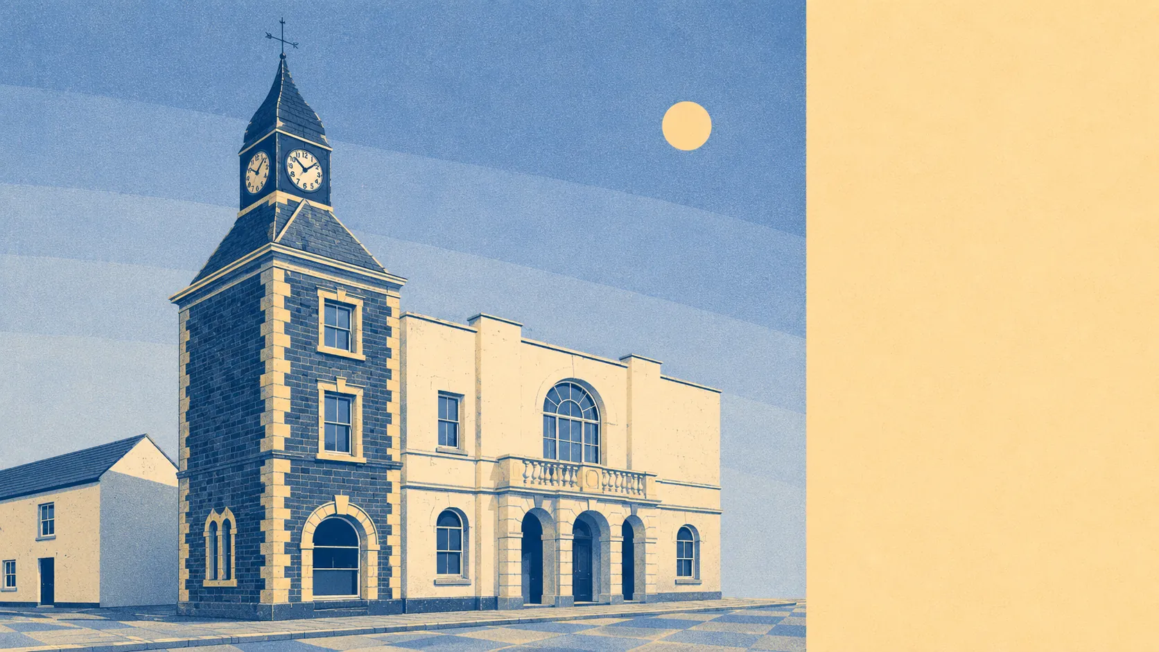
Two conservation areas sit over the town, covering Wadebridge itself and St Breock. Conservation area status does not freeze a house, but it narrows what counts as permitted development, brings trees within the boundary into the process, and makes demolition of anything substantial a matter for the council rather than a decision. Windows, cladding and roof materials are where the arguments usually happen, and the answer varies by street rather than by town.
There are also 5 scheduled monuments in the area, which is the strictest protection tier in the system. That rarely affects an existing house, but it matters enormously for anyone with land adjoining one, because scheduled monument consent is a separate process run centrally and is not something a friendly local planner can smooth over.
The live evidence is that people alter homes here constantly. The planning record shows 1,083 applications across the area between April 2024 and June 2026, with 466 of those lodged in the last twelve months. That is a town where extensions, garden rooms, roof conversions and change-of-use applications are routine paperwork rather than a heroic undertaking.
One extra step applies to a small slice of the area. Around 6% of postcodes have a recorded mine entry within 500 metres, with the nearest recorded working about 120 metres from a postcode, and none of the area's postcodes sit directly over a recorded working. This is not a coalfield and nothing here suggests a problem with any particular house. What it means practically is that a mining search may come back with something to note, that a specialist report is occasionally requested, and that a lender or insurer can ask questions about it. Better to find that at search stage than at exchange.
For the ordinary case, the picture is straightforward. Only 24% of dwellings on the council tax valuation list went up before 1930, so the large run of the housing stock here is later twentieth century, unlisted, outside the conservation boundaries and covered by the same permitted development rights as anywhere else in England. Rear extensions, loft conversions and garden buildings on those properties are a matter of checking the rules rather than pleading a case.
Freedom to alter a home here lands in the middle of the range. The historic core will make you work for every window, and the rest of the town will barely notice you were there. Which of those two you are buying is a question about the specific address, and the answer is decided long before you pick an architect.