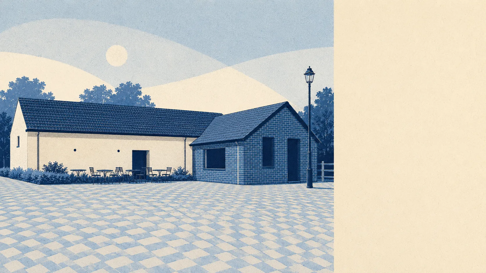
Heath, barrows and a great deal of sky. The town sits in a landscape that people have been burying each other in since the Bronze Age and farming ever since, and the open ground starts within a few hundred metres of most front doors. Water is closer than you would guess for an inland town. The countryside here carries no national designation at all, which turns out to say something rather good about it. Nobody is coach-touring Verwood's surroundings, and the people who live in them seem entirely content with that arrangement.
Green space is the everyday reality rather than a weekend expedition. The average postcode in Verwood sits about 350 metres from public green space, with roughly 10 separate green spaces within a kilometre. That is a genuinely high count, and it reflects a town that grew outward through heathland rather than paving over it.
Water is closer still than the town's inland position suggests. The average postcode is about 445 metres from blue space, with roughly 21 separate water features within a kilometre. The River Crane runs through, becoming the Moors River downstream, and the surrounding heath carries the ponds, streams and boggy ground that go with that kind of terrain.
Cycling infrastructure is where the picture thins. The nearest National Cycle Network route averages about 4.5 kilometres away, and no part of the town counts as close to one. There is no ancient woodland recorded in the area either. Verwood's outdoors is heath and common rather than old-growth forest, and it is not stitched into the national cycling network.
The amenity mix in the wider area runs to 267 shops, 37 pubs and 13 restaurants. That is a lot of pubs for a place this size and rather fewer restaurants, which is a fairly precise description of what evening life looks like around here.
On air, fine particle levels across the Dorset council area averaged about 5.5 micrograms per cubic metre in 2024. That is a council-area figure rather than a Verwood street reading.
The character of the surrounding ground is prehistoric and slightly comic in its density. Bowl barrows sit on Pistle Down, on Mount Ararat and on Redman's Hill, with Bull Barrow on Holt Heath and Stephen's Castle east of Eastworth Farm. Two former pottery sites are scheduled monuments in their own right, at Prairie Farm and Sandalholme, which is the buried half of the industry the Verwood Heathland Heritage Centre now tells you about over coffee. The villages ringing the town read like a list somebody made up after a good lunch: Three Legged Cross, Knob's Crook, Cripplestyle, Gotham, Crooked Withies. Alderholt, Edmondsham, Woodlands and Holt Heath fill in the rest, and Cranborne, covered by this page, sits to the north-west as the older and quieter neighbour.
Private outdoor space is the part these figures usually miss. Verwood holds roughly 164,000 square metres of private garden per 1,000 residents, which is a large amount by any standard and consistent with a town built out in bungalows and detached houses on generous plots. People here have their own grass as well as everybody else's.
The valuation list records 288 rateable premises across the area. These are premises rather than trading businesses, so an entry is a unit that exists rather than a shop currently open. The wider ownership records add 442 offices and 38 holiday lets to the shops and pubs above, which tells you the local economy runs on small commercial units and a modest visitor trade rather than anything industrial at scale.
Eating out comes with unusually settled reassurance. All 42 food premises rated in the area hold the top food hygiene score, and none sit at the bottom of the scale. A clean sweep is rare enough to be worth stating plainly.
There is no area of outstanding natural beauty here, no site of special scientific interest, and no ancient woodland. That absence is not a criticism. It means the heath and common around Verwood are ordinary working countryside that nobody has fenced off with a designation, and the practical consequence is that you can walk in it without joining a queue at a visitor centre.
The surroundings are one of the best things Verwood has: green on every side, water closer than expected, private gardens most towns would envy. Undesignated, unphotographed, and entirely usable.