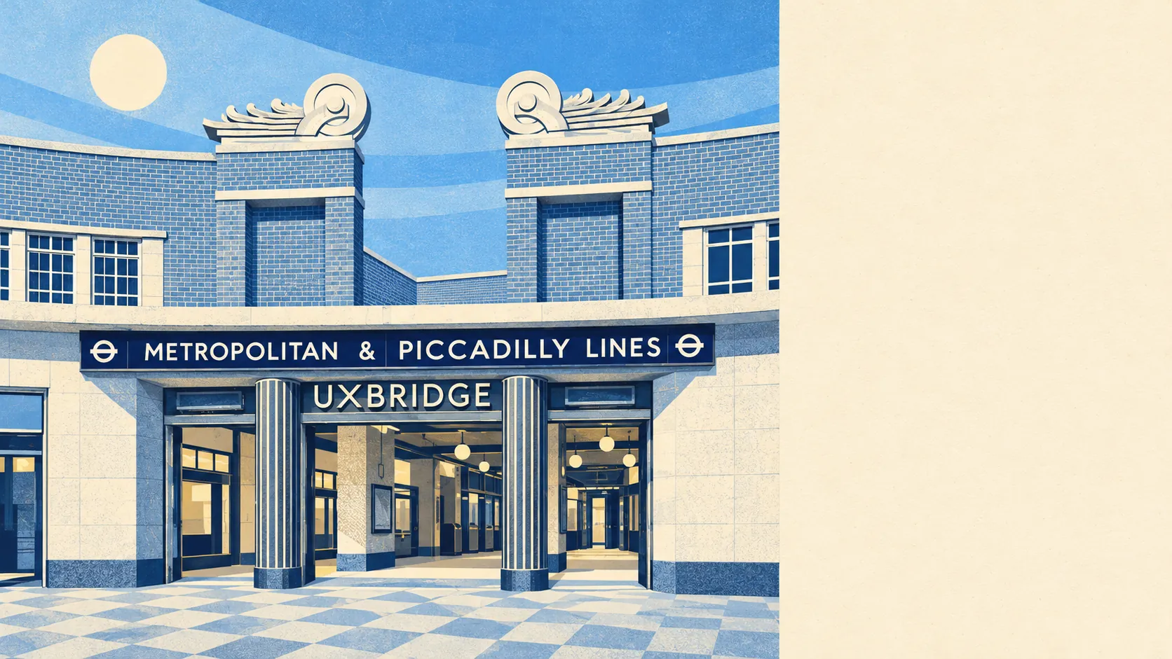
For a town full of offices and the council's headquarters, the area around Uxbridge has a surprising amount of green space and water. A park is a short walk from most front doors. A river or the canal is barely further. The cycle network is close enough to use without the car. The town is busy, but within ten minutes on foot you can be away from it all.
Green space is the most obvious advantage. The average home in Uxbridge is about 170 metres from its nearest public green space and has about 22 within a kilometre. Uxbridge Common is north of the centre, Broadwater Park is down by the water and Stockley Park adds a country park and golf course to the south. Few towns this busy have so much open ground this close.
Water is nearly as close. The average home is about 250 metres from water, and there are about 69 stretches within a kilometre. The Grand Union Canal runs along the western edge, the River Colne and the Frays River mark the boundary with Buckinghamshire, and the River Pinn runs right through Brunel's grounds. Near Uxbridge Lock is the derelict flour mill whose name ended up on a bread brand. Uxbridge used to supply much of London's flour, and now it mainly supplies a weekend walk.
The National Cycle Network is about a kilometre from the average home, and about 39% of postcodes are close to it. The towpath means a bike ride out of town can stay on flat ground most of the way.
The rated premises show what the high street is made of. Uxbridge has 310 shops, 22 pubs and 34 restaurants, alongside 659 offices. In Uxbridge the people buying lunch outnumber the people going out for dinner, and the high street is set up for them.
Hillingdon Council's area recorded fine-particle pollution of about 8.2 micrograms per cubic metre in 2024.
The character changes quickly from the centre outwards. Two shopping centres and the office blocks sit around a pedestrianised core. Beyond them come the canal villages of Cowley and the lock conservation areas, with Harefield, Ickenham Village and Denham beyond. A dry ski slope off Park Road closed in 2002 after several arson attacks and was left to return to nature. It has done that with more success than it ever had as a ski slope.
Private gardens are also generous. Across Uxbridge there are about 59,000 square metres of private garden for every 1,000 residents, even though flats make up a large part of the housing. That figure comes from the gardens behind the semis and terraces, and a flat above a shop will have no share in it.
The valuation list shows what kinds of premises there are. Of 1,643 rateable premises in Uxbridge, the largest group is 598 offices, followed by 297 shops and 139 warehouses and stores. These are premises on the rating list, which is not the same as businesses currently trading, and some will be empty. Even so, the mix confirms a town built around office jobs.
For eating out, about 62% of the 294 food premises rated by the hygiene inspectors have the top score of five, while about 12% are near the bottom of the scale.
None of the green space around Uxbridge carries a formal landscape designation. There is no area of outstanding natural beauty, no site of special scientific interest and no ancient woodland within the area. The canal, the rivers, the common and the parks are ordinary open land, and protecting them depends on the council's planning decisions, not on any national designation.
The surrounding area is one of Uxbridge's real strengths. From almost anywhere in town, open grass and water are a few minutes' walk away.