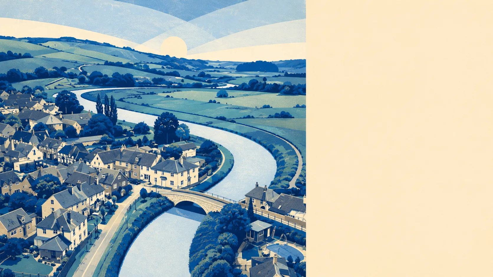
Downland on three sides, river valley on the fourth. Green space is close: about six patches within a kilometre, with the nearest around two hundred metres from a village address, and blue space closer still on account of the Adur running through the parish. Barrows and cross dykes on the surrounding hills. Small villages scattered through the valleys. The countryside is the setting rather than the backdrop.
Green space is a walkable proposition rather than a drive-to weekend event. The nearest patch of open green averages about two hundred metres from a village address, and roughly six patches sit within a kilometre. Blue space is closer still on account of the Adur running through, which is why the nearest water sits about a hundred and seventy-five metres from a typical address rather than the several miles it would be in a landlocked village of comparable size. The National Cycle Network passes within about eight hundred metres of the average address here, close enough to walk to on a Saturday morning without treating the ride as an expedition. Air quality across the parish is well within national standards, at about six-and-a-half micrograms per cubic metre of fine particulate matter. Areas of Outstanding Natural Beauty, Sites of Special Scientific Interest, and ancient woodland do not overlap the parish at any percentage worth noting. The countryside is here in fact rather than in official title, which is what people who live in it tend to prefer.
The character of the area is a cluster of small villages along the Adur and its side valleys, each small enough to reveal itself in a five-minute walk. Bramber sits on the opposite bank of the river with its castle ruins. Steyning stands above Bramber with the market-town history. Small Dole runs off to the north. Edburton lies to the northeast. Ashurst, Botolphs, and Coombes settle along the river and its side valleys. This is a village that lives inside a network of small settlements rather than one standing alone, and the settlements have been co-existing since before the maps started being drawn. The downland above them carries barrows, cross dykes, and a scheduled hillfort at Thundersbarrow Hill. That is evidence that people were laying out territories on these hills long before any parish council began arguing about the village hall. The village hall itself, on the High Street, dates from 1930, which by local standards is recent enough to still count as new.
The surrounding-area verdict lands at four-and-a-half out of five, excellent. Downland on the hills, water in the valley, and a cluster of small villages rather than a village standing alone. Marked down from a five only because the formal landscape designations that get people excited on maps are absent here. The countryside is present in daily life whether or not the paperwork has caught up.