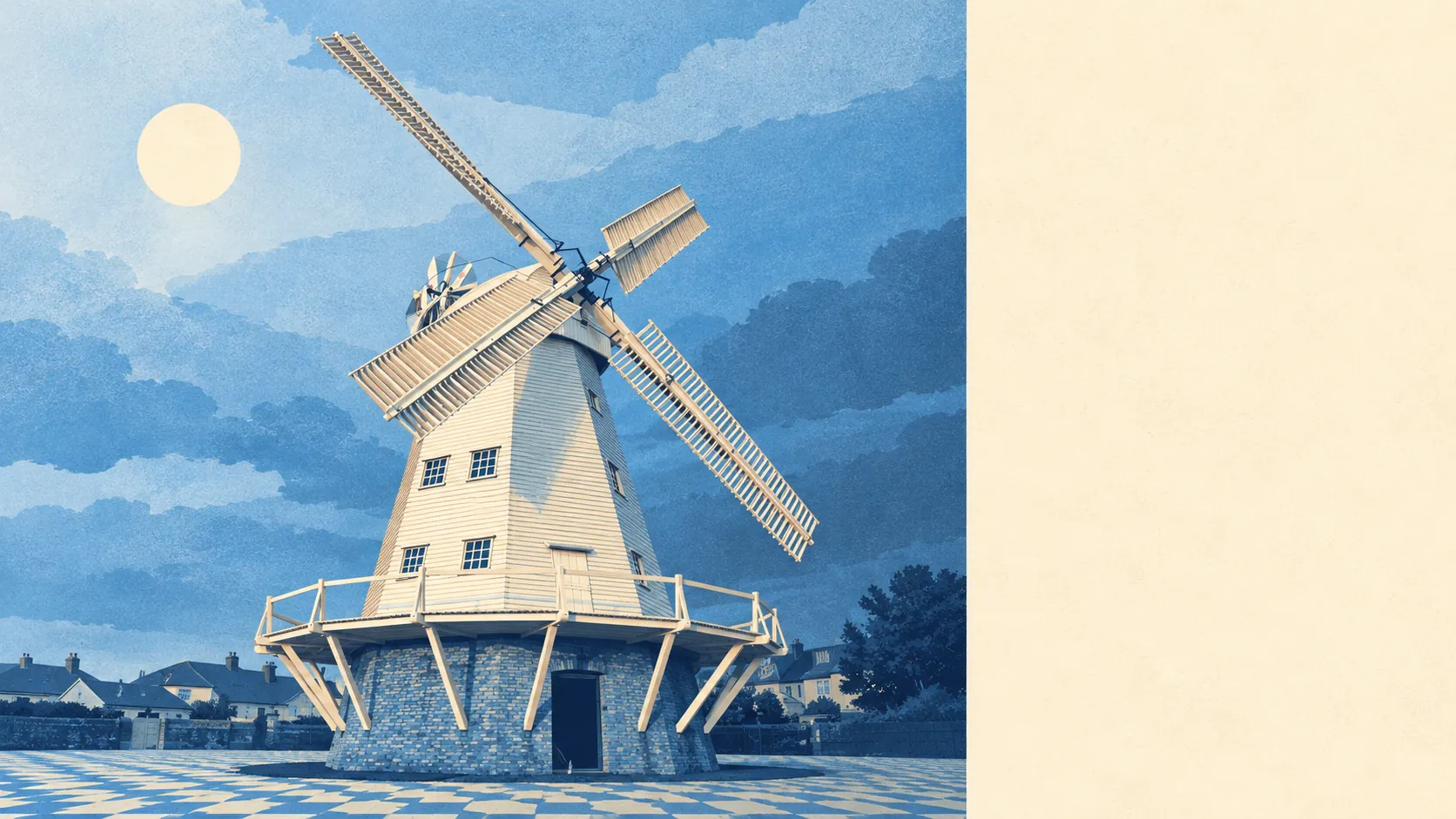
Upminster is a suburb with countryside on two sides and parks almost everywhere in between. Green space is a few minutes' walk from most front doors. There is water nearby too, in a stream, a lake and the river along the western edge. Most homes have a proper garden. The Green Belt starts where the houses stop, to the north and to the south.
The average home in Upminster is about 230 metres from public green space, and there are about 13 green spaces within a kilometre. Upminster Park and Clock House Gardens are south of the station, with Upminster Hall Playing Field and the golf club to the north. Most residents can be on grass in about the time it takes the kettle to boil.
Water is about 390 metres from the average home, and there are about 20 bodies of water within a kilometre. The River Ingrebourne forms the western edge of the town, with the Ingrebourne Valley as a linear park beside it, and north of Corbets Tey a stream has been dammed to make a lake.
The National Cycle Network is about 1.1 kilometres from the average home, and about 41% of postcodes count as close to it. There is no ancient woodland within the area.
The rated-premises list counts 248 shops, 9 pubs and 10 restaurants. The high street runs along Station Road, St Mary's Lane and Corbets Tey Road, and Upminster has more than 20 shops for every pub, which tells a visitor how the town prefers to spend a Saturday.
Havering's average fine-particle pollution was about 8 micrograms per cubic metre in 2024, a figure for the whole borough.
The town has two sides. The railway divides it, with mostly homes to the north and the main shops to the south, then more homes further south again. Beyond that, Corbets Tey, Cranham and North Ockendon each have their own conservation area, so parts of the old villages survive among the interwar streets. Further out, Thorndon Park, Belhus Park and Great Warley are within a short drive, and Damyns Hall Aerodrome lies to the south. Upminster is one of the few London suburbs with a working airfield as a neighbour, and nobody comes here for a night out.
Private gardens are generous. There are about 150,000 square metres of private garden for every 1,000 residents. The interwar builders laid out plots big enough for a lawn, a shed and a vegetable patch, and Upminster has kept them.
The council's rating list counts 846 business premises in the area, with shops the largest group at 246 and offices at 82. These are premises on the valuation list, which isn't the same as businesses currently open, but the mix confirms what the street suggests: Upminster has a shopping centre and very little office space.
Of the 178 food premises with a hygiene rating, about 76% have the top score of five, and about 3% are rated poorly. Ten restaurants is a modest number, but most of them keep their kitchens clean.
No area of outstanding natural beauty, site of special scientific interest or ancient woodland overlaps Upminster. The surrounding land is Green Belt and farmland, protected from building but not designated for its wildlife.
Upminster's surroundings are among its best features. Parks, water and countryside are all close by, and most homes have a large garden.