Upminster gives a settled household most of what it wants from the far edge of London, and asks a fair price for it. Most homes are semis or bungalows, nearly everyone owns, and crime runs well below the rest of the borough. The District line ends here, so the trains start empty. The one real problem is water, which is awkward for a town whose name means the large church on high ground.
It's a place for people who have finished moving house. The Metropolitan Police recorded a crime rate of about 66 per 1,000 residents in the year to May 2026, roughly 30% below the Havering average of 94. The mix is unusual, though. Violence and sexual offences make up about a quarter of recorded crime here, against more than a third across England and Wales, while vehicle crime is about 13% of the total against 5% nationally. In Upminster, the thing most worth stealing is usually parked on the drive.
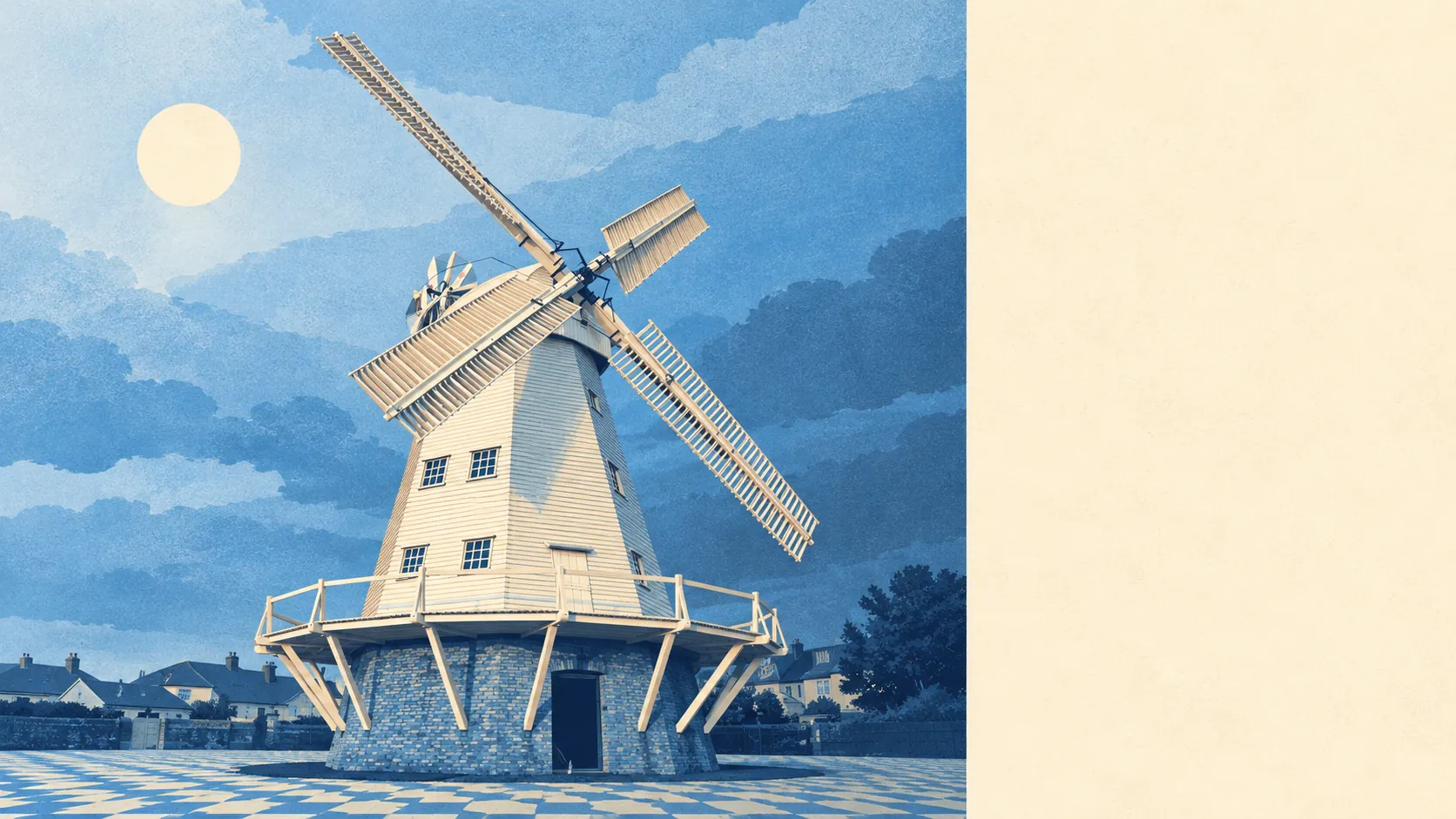
Historic England lists 135 buildings in and around Upminster, seven of them grade I. There are nine conservation areas within reach, including Corbets Tey, Cranham and North Ockendon, and anyone buying inside one will need consent for changes that would be routine elsewhere. The smock windmill, built in 1803, is still standing and still listed. For the owner of an interwar semi on an ordinary street, most of that heritage is something to walk the dog past.
The Land Registry's last twelve months, to mid-May 2026, show 258 sales at a typical price of about £566,000. The type of house moves that figure a long way. Detached homes went for around £760,000, semis for about £590,000, terraced houses for about £475,000 and flats for roughly £321,000. Council tax falls mostly in band E, and only about 9% of homes are in bands A or B. The valuation list has placed most of Upminster a couple of bands above the borough's starter homes, and the residents don't seem to mind.
Renting is a minority pursuit. Typical private rent across the Havering area is about £1,560 a month, according to the Office for National Statistics index for April 2026, and that borough figure covers flats in Romford as much as family houses here. About 11% of Upminster households rent privately, so the choice of rentals is thin.
The council-tax list, which counts every home, describes the stock: about 39% semis, 17% bungalows, 16% flats, 15% terraced and 11% detached, with only about 12% built before 1930. The interwar semi set the pattern for the place. There are more bungalows than terraced houses, which tells a buyer how many people came here planning never to climb stairs again. On energy certificates, about half the certificated homes are band D, about 30% reach C or better and about 21% are E or worse. Around 86% of homes heat with mains gas. That's typical for houses of this age, and boiler upgrades will matter for years yet.
The neighbourhood is what the stock suggests. About 85% of households own their home, the typical resident is 46, and modelled gross household income comes to about £80,000 a year, an Office for National Statistics estimate for the year to March 2023. The Upminster ward is among the least deprived in London. Cranham to the east has the same character, and Bulphan and North Ockendon add a rural fringe. North Ockendon is the only inhabited part of Greater London outside the M25.
Upminster station is unusually well served for a suburb. The District line starts here, c2c runs to Fenchurch Street, and the Overground goes to Romford, with Emerson Park one stop along. There are 184 bus stops across the area. Yet on census day in 2021, which fell during lockdown, about 45% of working residents were at home, a third drove and only 7% took the train. Three railways meet at one station, and the most common commute was none of them. Gigabit broadband reaches about 83% of premises and superfast about 91%, which helps the people who stayed at home.
Flood risk is where Upminster lets itself down. About 25% of postcodes carry a high flag on at least one flood indicator, and surface water is part of that measure. The Environment Agency's river-and-sea flood zones are a different measure and cover far less: about 2% of postcodes are in zone 2 and about 1% in zone 3, mostly along the River Ingrebourne on the western edge. The agency has 15 recorded flood events, the most recent in December 1968, when a main river overtopped its channel. The rain that is the trouble now doesn't come from the river at all.
Green space is close to almost everyone. The average home is about 230 metres from public green space and about 390 metres from water. Upminster Park, Clock House Gardens, the golf club and the Ingrebourne Valley are all on the doorstep, and the Green Belt starts where the houses end, to the north and to the south.
Overall, Upminster is better than average, and it is a good choice for a household that wants to stay put. Safety is what a buyer gets: crime well below the rest of Havering, mostly cars rather than people. The weakness is the drainage map, which matters more to a family with a ground-floor kitchen extension than to anyone looking at the windmill. Families buying a semi for the long run, and downsizers who want a bungalow near a tube station, will be well served here. Anyone who wants a crowd, a cheap first rung or a busy night out should look closer in.