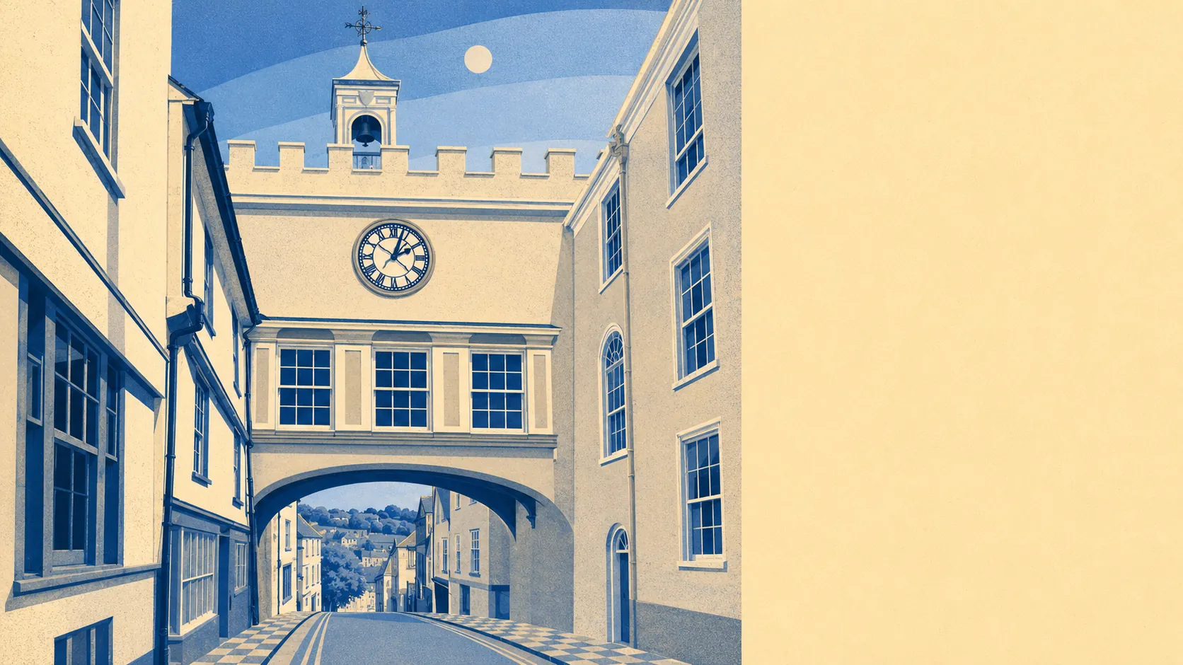
The area around Totnes is the reason people forgive the town everything else. Green space starts a couple of hundred metres from the average front door. Water is barely further than that. Villages sit in every direction, most of them with names that sound invented. This is countryside that arrives at the end of the street rather than countryside you drive to on a Sunday and photograph.
Green space averages about 150 metres from the typical front door, with around 15 separate sites within a kilometre. That matters more than a single large park would. Fifteen scattered patches is the difference between somewhere you make a plan to visit and somewhere you cut through on the way to buy milk.
Water averages about 300 metres away, with roughly 80 blue features inside a kilometre of the typical postcode. That is what a tidal river does to a map. The Dart stays tidal above the town as far as Totnes Weir, so the water in question moves twice a day rather than sitting there being decorative.
The National Cycle Network runs about 550 metres from the average postcode here, and about 59% of postcodes count as close to it. For a town where the ground never stays level for long, that is a better starting position than most.
Across the wider area the rating records carry 223 shops, 27 pubs and 7 restaurants. Twenty-seven pubs against seven restaurants is a distribution with opinions in it, and those opinions are about evenings rather than about cuisine.
Fine particle pollution averaged about 5 micrograms per cubic metre across the South Hams council area in 2024. That is a council-area figure rather than a reading taken outside anybody's window.
Past the last houses the map fills up quickly. Dartington sits on the western edge, Stoke Gabriel down towards the creek, with Ashprington, Harberton, Berry Pomeroy, Littlehempston and Staverton spread around. Bridgetown faces the town across the river, and the South Devon National Landscape begins just beyond the parish edge. Berry Pomeroy Castle and Dartington Hall are both close enough to count as local rather than as day trips.
Private outdoor space is the thing nobody puts in the brochure. The area's neighbourhoods hold about 181,000 square metres of private garden per 1,000 residents, so whatever the terraced frontages suggest from the pavement, this is not a place where people are competing for a balcony.
The local rating list carries 660 rateable premises. Across the wider area the records also show 347 offices and 135 holiday lets, which is the honest shape of a market town that works and takes visitors in roughly equal measure. Those are premises on a valuation list rather than businesses currently trading, so treat them as the frame of the place and not as a list of what will be open on a wet Tuesday.
Of the 85 food premises carrying a published hygiene rating, about 86% hold the top score and about 1% sit at the bottom of the scale.
Worth being straight about the paperwork: no area of outstanding natural beauty, no site of special scientific interest and no ancient woodland overlaps the area itself. The designations sit next door rather than underneath. What surrounds the town is working farmland and river valley rather than protected landscape, and it loses nothing for the lack of a label.
The setting is the strongest card this place holds, and it is not a close contest: green space within a short walk, water nearer than most towns manage, and a ring of villages that would each be marketed as a destination if they happened to be anywhere else. Everything else about Totnes is a matter of taste. The land around it needs no argument at all.