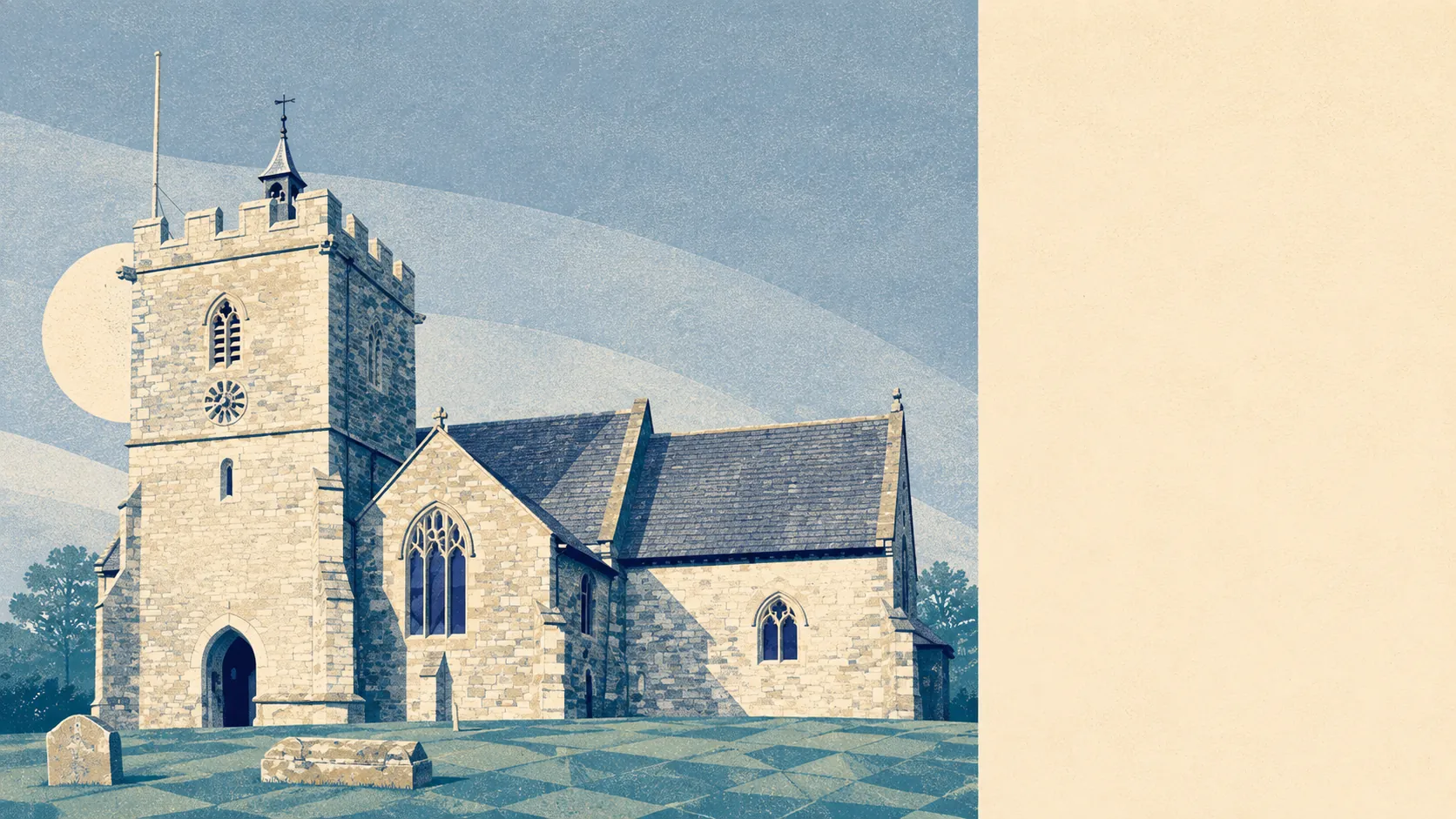
Farmland with villages threaded through it, and more water than a landlocked place has any right to. Green space starts a few hundred metres from the average front door. Around eleven separate pieces of water sit within a kilometre of the typical postcode. Four pubs and four shops serve the whole area. The countryside is the amenity here, which is the entire appeal or the entire problem depending on who is asking.
Open green space averages around 360 metres from a postcode in this area, with four or five accessible spaces within a kilometre. That is not a park being counted twice. It is the ordinary condition of living somewhere the fields start where the houses stop, and it means the dog gets walked without anybody getting in a car first.
Water is closer still, averaging about 385 metres, with roughly 11 pieces of blue space within a kilometre of the typical postcode. For somewhere sitting in the Blackmore Vale rather than on a coast, eleven is a striking number, and it explains why the ground behaves the way it does and why the walking here has a stream in it more often than not.
The National Cycle Network is a different story. It averages roughly 7 kilometres away, and no postcodes in the area count as close to it. This is walking and driving country rather than a place where you roll off the drive onto a traffic-free route, and anyone buying with a bike rack on the roof should know that before the first Sunday.
The high street, insofar as there is one spread across several villages, amounts to four shops, four pubs and a single restaurant. Four pubs for the area is the ratio that tells you what the social infrastructure actually is. Whether that reads as charming or as a warning depends entirely on how you feel about the phrase "we could drive somewhere".
Fine-particle pollution across the Somerset council area measured about 5.5 micrograms per cubic metre in 2024. That is a council-area figure rather than a village one, and it is the sort of number that only becomes interesting in a city.
The texture of the place comes from the villages rather than from a centre. Henstridge and Horsington sit either side, Abbas Combe runs into Templecombe itself, and Wincanton, Milborne Port, Charlton Horethorne and Stalbridge fill in the map around them. Scattered through it are the older things that never got built over, including Ballands Castle and the Pen Pits quern quarries, which is the kind of landscape feature you find because a footpath goes past it rather than because anyone signposted it.
What the public green space figures do not capture is that people here also own their own. Private gardens work out at roughly 317,000 square metres per 1,000 residents, which is the measure worth looking at, because the share of total land under garden is diluted by farmland in a place like this and makes gardens look smaller than they are. In plain terms, gardens here are gardens rather than yards.
On the valuation list there are 167 rateable premises across the area, including seven offices and eight holiday lets alongside the shops and pubs. Those are premises rather than trading businesses, so the list describes what exists in brick rather than what is open on a Tuesday, and the holiday-let count says something about who else is passing through.
Of 27 food premises with a hygiene rating, about 67% hold the top score and about 4% sit at the bottom of the scale. For a rural area with this few places to eat, two thirds at the top is a decent showing rather than a remarkable one.
One honest absence is worth stating: no area of outstanding natural beauty overlaps this area, no site of special scientific interest, and no ancient woodland. This is working farmland rather than protected landscape. The upside is that nobody arrives by coach to look at it, and the countryside stays the sort you use rather than the sort you photograph.
The surroundings are the best thing about living here by a distance, and the reason is not scenery so much as proximity: green space and water within a few hundred metres, gardens that deserve the name, and a landscape nobody has designated, so nobody visits.