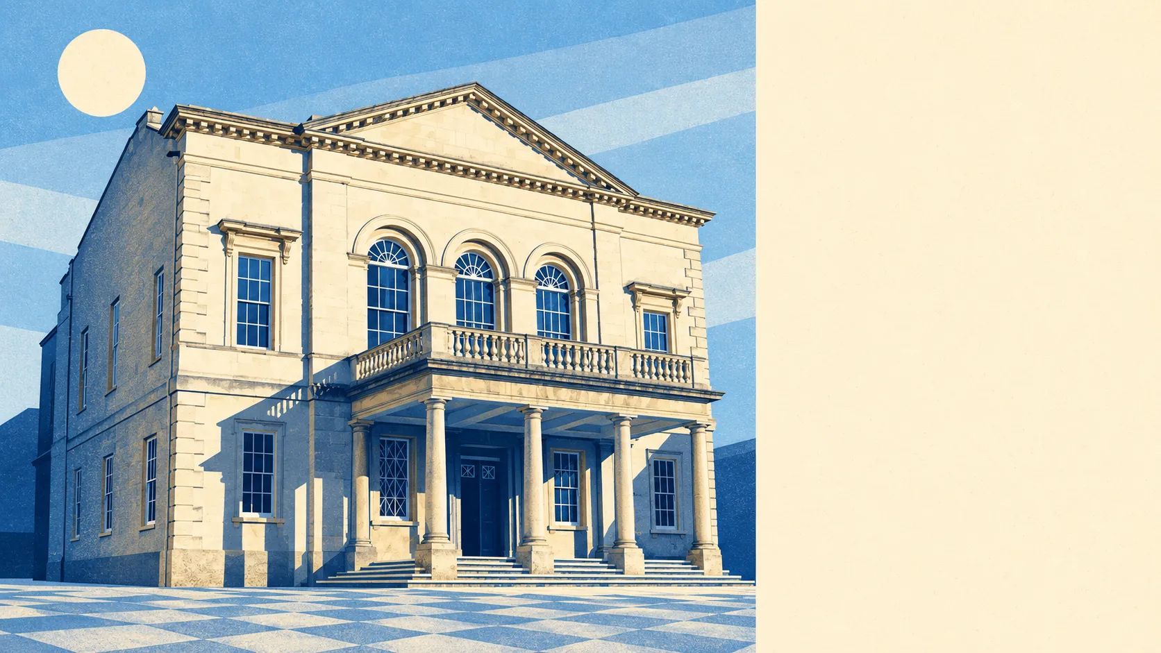
The country around Stroud starts at the back gate and runs uphill. Most homes have a park or common within a short walk. Water is never far, thanks to the rivers and the old canals. The high street has more pubs than restaurants, and the commons have more cows than either. Few towns this size have this much outdoors this close.
The average home in Stroud is about 130 metres from the nearest green space and has about 24 green spaces within a kilometre. Those range from Stratford Park in town to the open commons above Rodborough and Amberley, where cows and wild horses graze and people queue for Winstones ice cream. Walking the dog here usually means meeting the cattle on the way.
Water is about 290 metres from the average front door, and there are around 42 stretches of river, brook, pond and canal within a kilometre. The town takes its name from the marshy ground where the Slad Brook meets the River Frome, and the Stroudwater Navigation brought the canal in 1779. That canal closed in 1954, and the water stayed when the barges went.
The National Cycle Network is on average about 830 metres from home, and about 34% of postcodes are close to it. Mapped ancient woodland covers none of the area itself. For a town hemmed in by old hills, that is a surprise, though Woodchester Park and Lypiatt Park are both on the doorstep as registered parks.
The rated-premises list counts 490 shops, 65 pubs and 22 restaurants in Stroud. Of the 196 food outlets with a hygiene rating, about 81% hold the top score and about 2% sit at the bottom. On those numbers you are far more likely to find a drink here than a table for dinner.
Stroud district recorded fine-particle pollution of about 6 micrograms per cubic metre in 2024.
The Cotswolds Area of Outstanding Natural Beauty covers about 7% of the area, mostly along the edges where town turns to hill. No site of special scientific interest overlaps it, and no mapped ancient woodland does either. Most of what makes the area look the way it does has no designation at all, from the valley sides to the commons and the weavers' villages.
Its character comes from the five valleys more than from any one landmark. Mill country runs along the valley floors through Ebley, Dudbridge and Lightpill, where the conservation areas carry names like Stroud Industrial Heritage and Ebley Mills. Above, the stone villages hang off the slopes: Painswick, with its yews and Rococo Garden, Slad up its own valley, and Randwick, which still celebrates May Day with the Randwick Wap. A Neolithic long barrow on Randwick Hill, and a Roman villa under Woodchester churchyard, show that people have been choosing these hills for about five thousand years and never moved the hills. Iron Age tribes made their last stand against the Romans on the common south of town, now best known for golf and kites.
Private gardens are generous, adding up to about 145,000 square metres of garden per 1,000 residents. Most households have outdoor space of their own as well as the commons up the road, which helps the town feel bigger than it is.
The business-rates valuation list holds 1,040 rateable premises in Stroud, and it counts some things differently from the shop tally above. The biggest groups are 276 office premises, 261 shop premises, 144 workshops and small industrial units, and 73 warehouses and stores. These are premises on the list, not businesses known to be trading. They still show a town that makes and stores things as well as selling them, which is how a cloth town ought to end up.
The country around Stroud is about as good as it gets for a town: commons, valleys and water within a few minutes of almost every door, and gardens on top.