Stroud's crime rate, about 68 recorded crimes for every 1,000 residents, is the one figure that takes the shine off an otherwise decent valley town, and a buyer should read it before the views do any persuading. Most of what gets reported is the petty, noisy kind. The hills start at the end of most streets. The trade is that simple, and it is a fair one for some buyers and a bad one for others.
Gloucestershire Constabulary's figures for the year to May 2026 put Stroud's published rate at about 68 crimes per 1,000 residents, around 47% above the average for Stroud district as a whole. The mix leans towards nuisance. Antisocial behaviour makes up about 24% of reports against 16% across England and Wales, and shoplifting 11% against 8%, while violence and sexual offences come in under the national share. Across the whole county, the force charged about 9% of crimes over the same twelve months against 12% nationally, which put it 39th of 42 forces. So the trouble here is mostly loud and small, and the force covering it seldom gets as far as a charge.
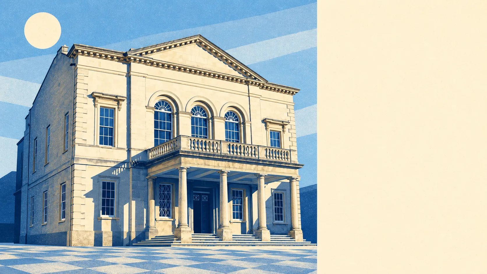
The town carries 480 listed buildings, three of them Grade I and 18 Grade II*, spread across eight conservation areas including Stroud Town Centre, Stroud Top of Town, Stroud Industrial Heritage and Ebley Mills. Two of those buildings are on Historic England's Heritage at Risk register. For an owner, a lot of windows, doors and roof slates belong partly to the planning department. Lord John Russell, Stroud's MP from 1837 to 1841 and later prime minister, got John Street, Russell Street and a pub out of the place. The people living on those streets get a conservation officer.
Water built Stroud, and it still calls round. About 10% of postcodes carry a high flood risk on at least one indicator, surface water included, and another 12% a medium one. In the Environment Agency's river-and-sea flood zones the share is smaller, about 7% in Zone 3 and 1% in Zone 2. The agency holds 18 recorded flood events here, the latest in July 2007, when a main river simply ran out of channel. The mill owners built on the valley floor because that was where the power came from, and a buyer today gets to pick the slope instead.
About two-thirds of households own their home and the typical resident is 46. The Office for National Statistics models average gross household income at about £53,000 for the financial year to March 2023. Stroud has been answering back for a long time. A poem from 1798 mocked its people for opening a church organ "before it could speak", and the town was still being called Gotham when Russell arrived to court its voters.
The Land Registry logged 310 sales in the year to May 2026 at a typical price of £320,000. Flats went for about £172,000, terraces about £273,000, semis £326,000 and detached houses £435,000. Band B is the most common council-tax band, and Bands A and B together cover 47% of homes. A house in the Cotswolds paying Band B is the part of the deal that holds up best. Renting costs about £1,040 a month across Stroud district as a whole, up 7% in the year to April 2026.
The council-tax valuation list gives a mixed stock: semis make up 31% of homes, terraces 22%, detached houses 19%, flats 17% and bungalows 10%, and 29% were built before 1930. Energy certificates rate about 45% of certificated homes at band C or better and 17% at E or worse. Three-quarters of homes heat with mains gas and about 9% run on electricity alone. In a pre-1930 cottage on the electric-only list, the heating bill shows up before the charm has worn off.
Stroud station, designed by Isambard Kingdom Brunel, is on the Golden Valley Line between Gloucester and Swindon, and fewer than 1% of working residents use the train to get to work. Half drive and 31% work from home. There are 259 bus stops, and a stop averages 17 departures on a weekday, with 89% getting a weekend service. Gigabit broadband reaches about 72% of premises and superfast 96%. The Department for Transport's modelled times, from 2019, put the nearest hospital about an hour away by public transport and 34 minutes by car. Brunel left a beautiful station that the town mostly admires from the car park.
Ofsted has graded 136 of 156 settings across Gloucestershire good or better, nine of them outstanding, and that is a county-wide picture. Closer to home, the 19 primaries in Stroud's postal districts average about 105 on the end-of-primary maths test, and the five secondaries average 48 on the Attainment 8 measure at sixteen. Marling School and Stroud High School stayed selective long after the comprehensive arrived, and Archway School takes the comprehensive intake. Families here get one of England's more contested school decisions before their children are eleven.
The outdoors is where Stroud earns its money. The average home is about 130 metres from green space and about 290 metres from water, and the Cotswolds Area of Outstanding Natural Beauty laps over the edge of town. Rodborough and Amberley run up onto the commons, Slad and Painswick go north into steeper country, and Randwick, Whiteshill and Edge hang off the western ridges. Woodchester, Cainscross, Ebley and Cashes Green take the valley floor and the bypass traffic, while Bisley, Eastcombe, Burleigh, Miserden, Edgeworth and Harescombe trade the shops for fields. The walk after work is the reason most people stay.
Stroud is right for buyers who want hills, mixed housing at prices the wider Cotswolds abandoned long ago, and a home they can work from. Anyone who needs a fast train every morning, a modern house that heats itself, or freedom to change a sash window without asking will find the valley hard work.
The safety figure is the thing to live with. It means a town centre with more shoplifting and antisocial behaviour than the district around it, and a county force that rarely brings a charge, so the street you choose matters more than the town you choose. Set that against the commons, the valleys and the prices, and Stroud comes out a fair middling bet: very good from the front door outwards, ordinary once the shops shut.