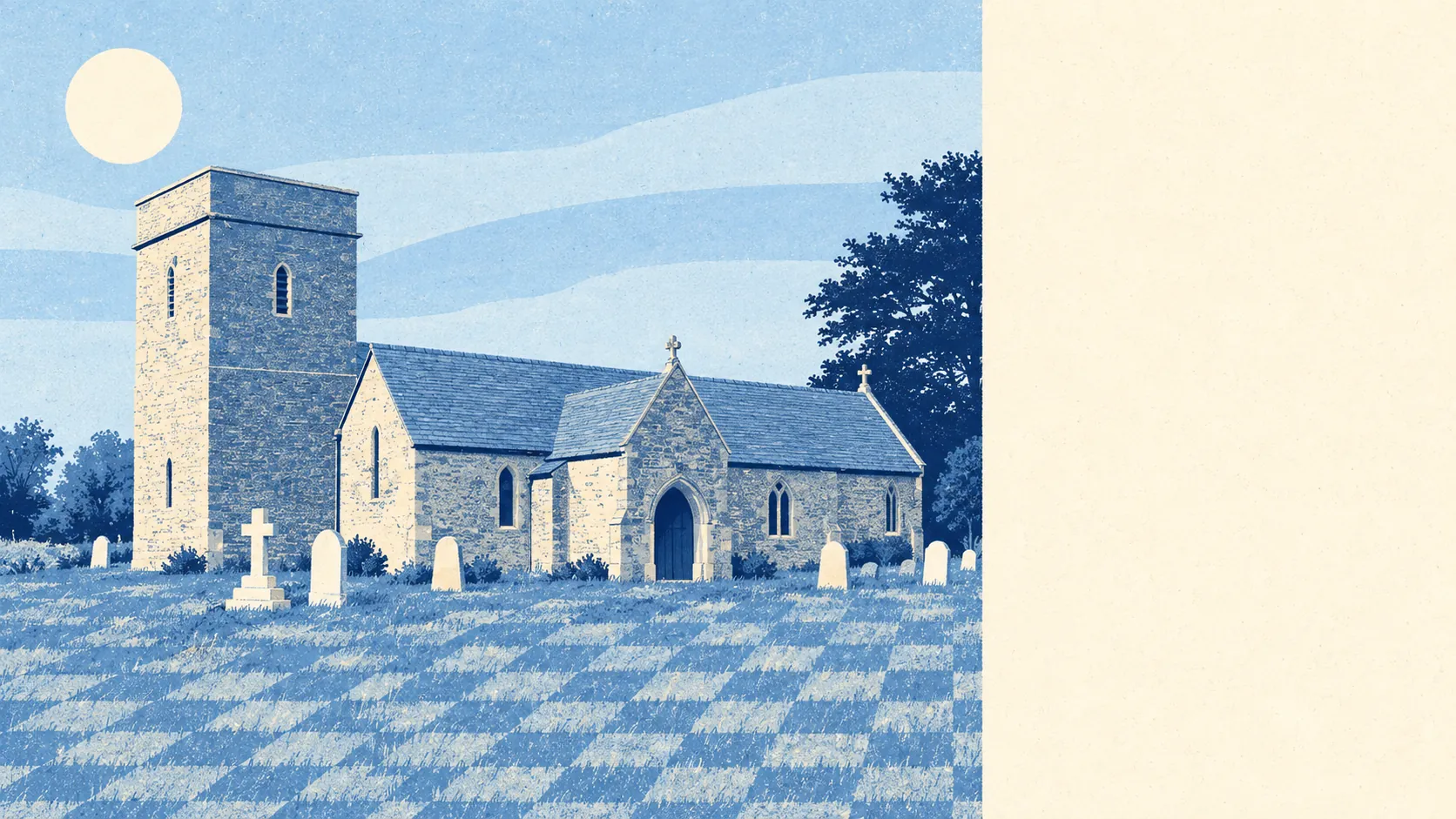
Stratton St Margaret is Swindon with the volume turned down. Three in four households own their home. Crime runs about a fifth below the Swindon average. The nearest patch of green is usually at the end of the road. It isn't exciting, and it has no intention of becoming exciting, which is the point.
The housing is semis, and then more semis. The council-tax valuation list puts semi-detached homes at 37% of the stock, terraces at 22%, detached houses at 16%, bungalows at 13% and flats at 12%. Only 12% was built before 1930, so anyone expecting cottage-and-coffin-way charm will find a couple of conservation areas and then a lot of post-war pebbledash. The energy certificates are middling: about 54% of certificated homes reach band C or better, 37% sit in band D, and 9% are band E or worse. About 83% of homes heat with mains gas and 6% rely on electric-only heating, so check which camp a property falls in before the viewing, not after the first winter bill. The bungalow share tells you who has been buying here for the last forty years, and who will be selling in the next ten.
Prices are sensible in a way estate agents find hard to dress up. The Land Registry's figures for the year to May 2026 show a median sale price of £285,000 across 248 sales. By type, detached houses went for a median of about £376,000 across 42 sales, semis about £295,000 across 108, terraces £255,000 across 80, and flats about £143,000 across 18. The most common council-tax band is C, and 30% of homes sit in bands A or B. Nothing here is a steal and nothing is a scandal. The listing will call it "established", which is estate-agent for "the neighbours have been here since the Callaghan government and have opinions about your bins".
Renting is priced at the Swindon level. The typical private rent across the Swindon area was about £1,080 a month as of April 2026. That is a borough-wide figure rather than Stratton's own, so a three-bed semi on a quiet close will not necessarily land on it. Only about 13% of households rent privately, so the choice on any given week is thin.
Safety is where the place earns its reputation for dullness. Police figures for the year to May 2026 put the crime rate at about 71 per 1,000 people, roughly 19% below the Swindon average. The biggest category is violence and sexual offences, a broad legal grouping that includes common assault without injury and tops the list almost everywhere. Wiltshire Police charged about 10% of cases over the same year against 12% nationally, which is a force-wide statistic rather than a Stratton one, and a reminder that "below average" and "solved" are different words.
Schools are solid rather than spectacular. Across the Swindon authority, Ofsted has graded 38 of 46 inspected settings good or better, three of them outstanding. Primary pupils in the surrounding postcode districts average about 103 in the end-of-primary maths tests across 12 schools, a shade above the expected standard. The secondary picture is weaker, with an Attainment 8 score of about 41 across three schools. Kingsdown School is the local secondary name most families will recognise. The primary walk is about eight minutes on average; the secondary walk is more like 21. Parents who read one headline and stop there will be disappointed or relieved, depending on which headline.
Getting about means driving, and everyone knows it. About 53% of working residents commute by car, 29% work from home, 3% take the bus and fewer than one in a hundred take the train. That is despite Swindon Rail Station being a short drive away. There are 177 bus stops, with an average of 39 weekday services each and 85% of stops served at weekends, and the town centre is about 22 minutes by public transport or 11 by car. Broadband is the unexpected win: 96% of premises can get gigabit speeds, and all of the area has 4G or 5G from at least one operator. The home-working share makes sense once the broadband and the traffic are put side by side.
Flood risk is the thing to take seriously here. On the Environment Agency's postcode indicators, which include surface water, about 16% of postcodes carry a high risk on at least one measure. The river-and-sea flood zones tell a quieter story, with about 1% of postcodes in zone 3 and under 1% in zone 2, so most of the exposure is rain with nowhere to go rather than a river bursting its banks. Two recorded flood events appear in the records, the latest in July 2007, when a main river overtopped with no raised defences in the way. Every postcode also sits on clay rated for moderate shrink-swell risk, which is the sort of thing a survey mentions and a buyer skims. Against that, the average home is about 170 metres from green space, with around 18 green spaces within a kilometre and water about 390 metres away. The parks are the reward. The drains are the fine print.
Heritage rules bite only in pockets. There are 29 listed buildings, two of them grade I and 27 grade II, plus conservation areas at Kingsdown and Lower Stratton. Inside those, window changes and extensions need more paperwork and more patience. Outside them, which is most of the place, a loft conversion on a 1960s semi is between the owner and the planning department.
The neighbourhood is settled and middle-aged. About 74% of households own their home, the median age is 45, and the average household income was about £51,000 in the financial year to March 2023. The area's deprivation ranking improved between 2019 and 2025. This is a place where people move in, stay, extend sideways and eventually downsize into the bungalow round the corner.
It suits families who want a garden, a driveway and a primary school within walking distance without paying Old Town money. It suits home-workers who care more about gigabit broadband than a café scene, and couples who consider a well-maintained verge a form of entertainment.
It does not suit anyone who wants nightlife, a rail commute or a period house. It will not suit a buyer who skips the flood search because the house is nowhere near a river. That buyer tends to learn about surface water in August.
The history is quietly odd. Adam de Stratton, son of a local landholder, made his fortune from moneylending in the reign of Henry III, and his brother became a judge in Ireland. The Reverend Carol Stone, the United Kingdom's first transgender vicar, served St Philip's Church in Upper Stratton from 1996 until 2014. The Domesday Book records the place as Stratone, held by William the Conqueror's physician, which means the doctor was here long before the ring of semis.
Stratton St Margaret is a good place to live, provided the buyer wants calm more than character. Its real strength is its surroundings: green space close to almost every door, low crime by Swindon standards and broadband that most market towns would envy. The weak spot is flood risk, mostly from surface water rather than rivers, and it deserves a proper search before an offer goes in. Buy on a street that stays dry and Stratton does exactly what a suburb should, which is let people get on with their lives.