Stotfold rewards buyers who want a family house with a garden, a car on the drive and countryside close by, and it asks surprisingly little in return. Three in four own their home. Crime runs well under the rest of the council area. Green space is a couple of minutes from most front doors. The catch is water in some of the streets, and a town built on the assumption that you drive.
That assumption shapes everything. More than half of households, about 56%, run two or more cars, and about 49% of working residents drove to work at the 2021 census, against about 3% who took the train. Stotfold has no station of its own; the nearest lines run through Arlesey, Baldock, Letchworth Garden City and Hitchin. The 51 bus stops average about 18 weekday departures each. Gigabit broadband reaches about 95% of premises, and about 39% of working residents worked from home at that census. The town works for a household that can either drive to the job or ignore it from the kitchen table.
Bedfordshire Police recorded crime here at a published rate of about 52 offences for every 1,000 residents in the year to May 2026, roughly 20% below the Central Bedfordshire average. Anti-social behaviour makes up about 22% of what gets recorded, against about 16% across England and Wales. The thing most likely to spoil an evening here is a nuisance, and a nuisance is a far better problem to inherit than the alternative.
Three-quarters of households own their home and the typical resident is 40. The Office for National Statistics models gross household income for the area at about £66,000 a year, for the financial year to March 2023. This is the age and income at which people stop renting and start arguing about loft conversions.
Flooding is where Stotfold asks more of a buyer. On the postcode measure, which counts any flood indicator including surface water, about 23% of postcodes carry a high rating on at least one. The Environment Agency's river-and-sea flood zones give a much smaller figure: about 2% of the area in zone 2 and about 1% in zone 3. The bigger number is the one that includes rain with nowhere to go. About 24% of postcodes also fall inside the Bedfordshire and River Ivel Internal Drainage Board's district, so somebody here is paid full-time to move water out of the landscape.
Planning is a lighter burden. Stotfold has 21 listed buildings, one of them Grade II* and the other 20 Grade II, and the one conservation area in the surrounding area is Croft Lane in Norton. Most owners can plan an extension without a heritage officer reading the drawings. The parish church of St Mary the Virgin dates to about 1150, so the oldest building in town had a few centuries' start on the planning system.
Over the Land Registry's twelve months to May 2026, 141 homes sold at a typical £415,000. Detached houses went for about £535,000, semis about £420,000, terraces about £362,000 and flats about £257,000. Band C is the commonest council-tax band, and only about 15% of homes fall in bands A or B. Central Bedfordshire as a whole, the area the figure covers, puts typical private rent at about £1,240 a month as of April 2026, up about 6% on a year earlier.
Counting every dwelling on the council-tax list, semis lead at about 30%, with terraces about 27%, detached houses about 24%, flats about 13% and bungalows about 5%. Only about 11% was built before 1930. About 74% of homes with an energy certificate rate A to C, and about 85% of households heat with mains gas. Buyers hunting for a draughty Victorian with original shutters will find the choice thin, though buyers hunting for a boiler that works will find one in nearly every house.
St Mary's CofE Academy Stotfold is among the primaries in town. Across the four primary schools in the area's postcode districts, the average Key Stage 2 maths score is about 104, and the one secondary counted in those districts has an average Attainment 8 score of about 39. Across Central Bedfordshire, Ofsted has graded 52 of its 59 graded settings good or better. That last figure covers the whole council area and says nothing about any single school.
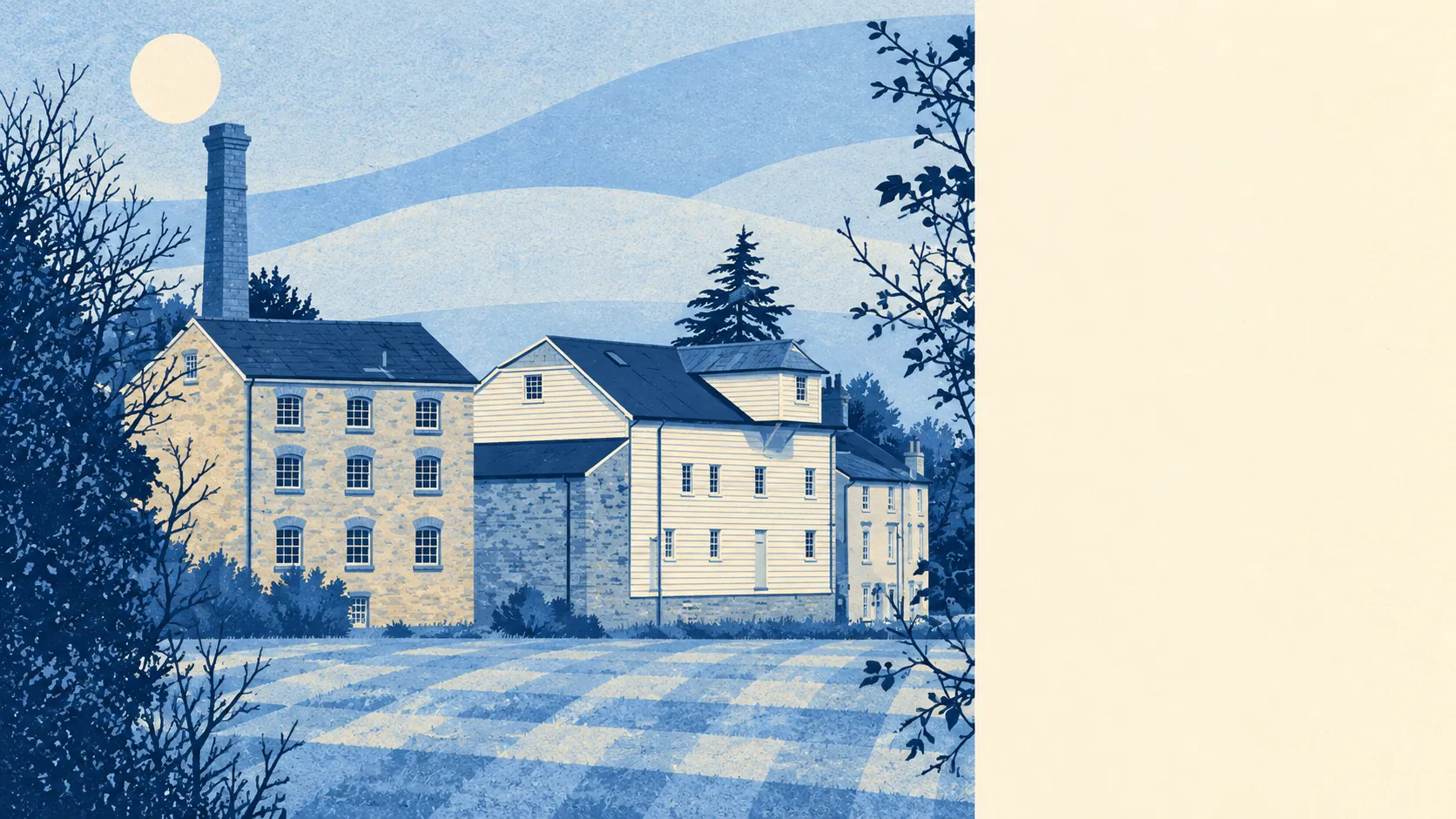
The surroundings are the strongest part of the case. The nearest green space is about 110 metres from the average front door, with around 20 green spaces inside a kilometre, and water within about 280 metres. The River Ivel runs through the town, and Stotfold Watermill stands on it, open with a tea room on alternate weekends from March to October. A dog in Stotfold gets walked properly, because there is no excuse on offer.
Stotfold is a sound, better-than-average choice for a family that drives, wants a garden and a river walk more than a high street, and is happy to grow into a semi. The green space and the river are what keep people here. The surface-water ratings on nearly a quarter of postcodes are what a buyer has to weigh, street by street, before the offer goes in. Anyone who needs a train at the end of the road, or a house older than their grandparents, will be happier in one of the towns that has a station.