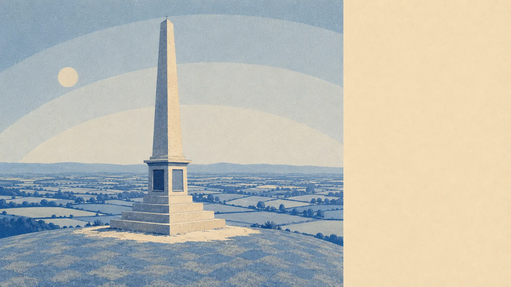
What surrounds Stoke-sub-Hamdon is better than what sits inside it. Green space starts at the end of the street. Roughly ten separate open spaces within a kilometre. Two stretches of water inside the same radius. Four pubs, ten shop units, and that is the nightlife settled. The countryside here is not the scenery. It is the amenity.
Green space averages about 155 metres from an address in this area, with roughly 10 open spaces inside a kilometre. That is close enough that walking somewhere green stops being an outing and becomes the default way of leaving the house.
Open water averages about 950 metres away, with two stretches within a kilometre. Nobody is buying here for a waterfront view, but the walk to something wet is short enough to do before dinner.
Cycling is where the picture turns. The nearest National Cycle Network route averages about 7.7 kilometres away, and no postcode in the area counts as close to one. Getting out on two wheels means riding lanes shared with everything else on them, which suits some riders and rules the activity out entirely for families with small children.
The high street, such as it is, comes to 10 shop premises, 4 pubs and 1 restaurant. Four pubs in a village this size is either inherited or stubborn, and either way it beats the single coffee franchise that usually replaces them.
On air quality, fine-particle pollution across the Somerset council area averaged about 5.5 micrograms per cubic metre in 2024. That is a council-wide average rather than a reading taken at the end of any particular lane.
The wider setting does most of the work. The hill above the village carries an Iron Age hillfort and a country park, and Hamdon Hill camp is a scheduled monument in its own right, as is the motte and bailey castle on St Michael's Hill at Montacute and the Roman villa at Lufton. Montacute House and Tintinhull House sit among the listed buildings in the surrounding parishes. Martock, Tintinhull, Odcombe, Norton-sub-Hamdon and Chiselborough are all near neighbours, which means the social geography runs across several villages rather than one centre.
Private outdoor space is the part nobody measures and everybody wants. Gardens here run to roughly 197,000 square metres for every 1,000 residents, which is a way of saying that people have their own ground rather than borrowing somebody else's on a rota.
Commercially, the valuation list carries 59 rateable premises across the area, including about 11 offices and 4 holiday lets alongside the shops and pubs. Those are premises on a list rather than businesses trading this morning, so read them as capacity and not as a directory of places to spend Saturday.
Of the 16 premises here carrying a published food hygiene rating, about 88% hold the top score and none sits at the bottom of the scale. For a village that size, eating out is a small field with a decent floor.
One honest absence is worth stating: no protected-landscape designation falls inside the area itself. No area of outstanding natural beauty, no site of special scientific interest within the boundary, and no ancient woodland. The land here is working countryside rather than designated countryside, which changes nothing about the walking and everything about who has a say over it.
Measured on what lies outside the front door, this is as strong as anywhere in the county gets: green space at arm's length, water nearby, gardens with actual ground in them and a ring of villages within a short drive. The village will not entertain anybody. The country around it will.