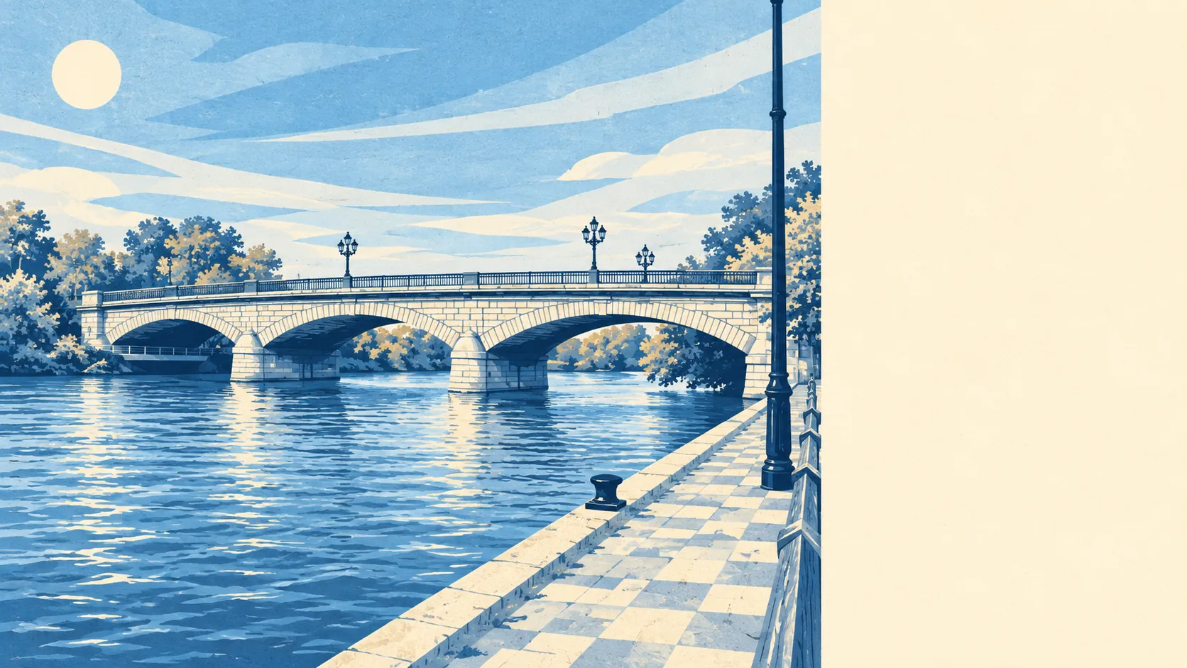
The area around Staines is mostly water and grass, and it is the best thing about the place. A park or green space is a couple of minutes' walk from the typical home. Open water is about as close. More than eighty stretches of water sit within a kilometre. For a town hemmed in by an airport and a motorway, the view out is a surprising amount of sky and river.
Green space is close and plentiful. On average the nearest green space is about 175 metres from a Staines home, and there are about 16 green spaces within a kilometre. People here cross a patch of grass on the way to almost anything.
Water is the defining feature. The nearest blue space, river, lake or reservoir, is about 190 metres away on average, with about 82 within a kilometre. The Thames and the Colne meet here, the gravel workings around the town have filled with water, and the reservoirs take up whole horizons to the north. Staines Town's first football ground, at Hammond's Farm, now lies beneath the King George VI reservoir, which is the most Staines fate a playing field could have.
Getting out into it is easy on foot or by bike. National Cycle Route 4, the long route that links London to Fishguard, passes through the town, and the nearest stretch of the National Cycle Network is about 620 metres from the typical home, with about 48% of postcodes close to it. The Thames Path crosses Staines Bridge, and a walk upstream goes past Runnymede towards the Kennedy Memorial landscape.
The high street is a working one. Property records for the area count 567 shops, 55 pubs and 50 restaurants. Of 195 food outlets rated for hygiene, about 71% hold the top score.
Fine-particle air pollution across Spelthorne averaged about 8 micrograms per cubic metre in 2024, a figure for the whole council area.
Around the edge, the place names are mostly about water: Penton Hook, Church Lammas, Hythe End, Laleham, Wraysbury, Hamhaugh Island. Further out, Thorpe, Virginia Water and St Ann's Hill bring the land back up. Staines Moor has hosted cricket since at least 1759, and Staines Hockey Club, formed in 1890, is one of the oldest hockey clubs in the world, its early members bringing home Olympic gold in 1908. Staines Boat Club has rowed from Egham Hythe since 1851, out of a boathouse that went up as a temporary structure in 1950 and is still standing.
Private gardens are generous for a town this close to London. The Office for National Statistics measures about 101,000 square metres of garden for every 1,000 residents across Staines, which means a good share of homes have their own outdoor space as well as the park around the corner.
The business rating list counts 789 rateable premises across the area, led by 260 shops and 225 offices. Those are premises on the valuation list, which counts units and not trading businesses, so an empty shop counts as fully as a busy one. The office count is a reminder that Staines works by day as well as sleeps by night.
Eating out is a safe bet on hygiene. About 71% of the 195 rated food premises hold the top hygiene score, and only about 3% sit at the low end.
No protected landscape overlaps the town. There is no area of outstanding natural beauty, no site of special scientific interest and no ancient woodland within it. The surroundings are worked-over river plain, gravel pits turned lakes and reservoir banks, and none of it needs a designation to be good to walk.
The surrounding area is one of the real strengths of Staines: water and green space on almost every doorstep, a working high street, and a riverside walk out of town in any direction you choose.