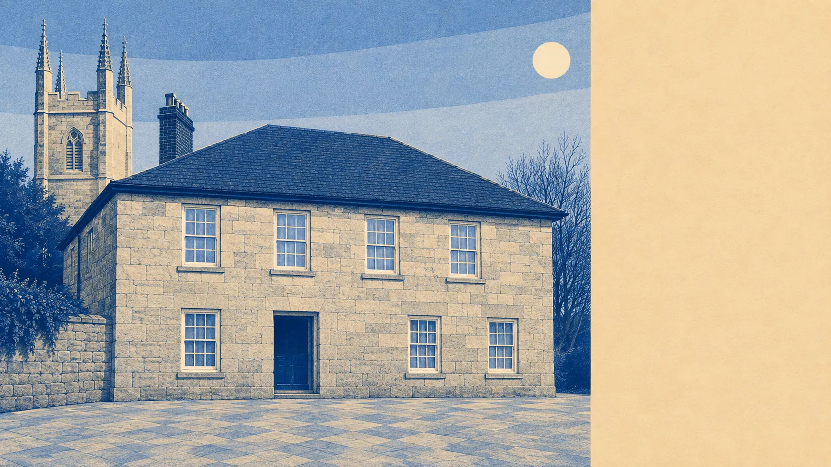
Green, damp, and entirely unbothered by anyone with a camera. Open space starts a couple of minutes from the front door and water is barely further. The gardens are enormous by the standards of anywhere with a pavement. No protected landscape designation covers a square metre of it. Nobody has ever put a rope around this countryside, and it gets on perfectly well without one.
On green space, the average postcode here sits about 140 metres from open green space, with about 10 separate green sites within a kilometre. That is countryside as a daily condition rather than a weekend outing, and it is the single most reliable thing this area has going for it.
Water is nearly as close. The average postcode is about 370 metres from blue space, with about 14 separate water features within a kilometre. In clay country that means streams, pools and the flooded leavings of a working landscape rather than anything a tourist board would put on a poster.
Cycling is the gap. The National Cycle Network averages about 5.3 kilometres away, and no postcode here counts as close to it, so anyone wanting a traffic-free route is driving to the start of one. There is no ancient woodland recorded in the area either, which fits a landscape that has been worked rather than left alone.
Across the wider postcode district, the rateable premises include 124 shops, 20 pubs, 14 restaurants and 140 offices. That is the catchment a household here actually shops and drinks in, spread across several villages rather than concentrated into one parade, which is why a supermarket run and a pint can involve two different sets of lanes.
The air is clean by the standards of anywhere in England. Fine particle pollution across the Cornwall council area averaged about 5 micrograms per cubic metre in 2024, which is a council-area figure rather than a reading taken at the end of any particular lane.
The character comes from the settlements around it and their names, which read like a list somebody enjoyed compiling: Trethosa, Treviscoe, Hornick, Lanjeth, Stepaside, and a hamlet called High Street that sets an expectation the surrounding lanes have no intention of meeting. Nanpean sits immediately alongside and is covered by this page too. The older landmarks are agricultural and industrial rather than picturesque: Chapel Mill, Meledor Farmhouse, Tregargus stone grinding mill, and the earthworks at Resugga Castle sitting quietly in a field where most places would have built a visitor centre.
Private outdoor space is where this area quietly humiliates the suburbs. Gardens run to roughly 194,000 square metres per thousand residents. Gardens also account for about 15% of the total land area, though that share is held down by farmland rather than by anything to do with the size of the plots, so the per-person figure is the one that describes the back door you would actually open.
Within the village itself the local rating list holds 30 rateable premises across ten recorded categories, with no single category running to more than 8 entries. Those are premises on a valuation list rather than businesses currently trading, so treat it as the shape of the place rather than a directory of what is open on a Tuesday.
For eating out, 12 premises in the area carry a food hygiene rating, of which 75% hold the top score, and none sit at the bottom of the scale. Small in number, sound in practice.
On designations, the honest position is that there are none. No area of outstanding natural beauty, no site of special scientific interest, no ancient woodland. This is working countryside rather than protected countryside, which means fewer constraints and no coach parties, and it explains why the lanes stay quiet in August.
The surroundings are the strongest thing about living here: green space at the gate, water within a short walk, gardens most buyers elsewhere would consider a small holding, and not one designation telling you how to enjoy any of it.