Farmland, granite and prehistory, with the sea always about two and a half kilometres away in whichever direction you fancy. Green space starts at the end of the lane. Water is a short walk. The valuation list records more holiday lets than most villages have houses. This is the far west of Penwith doing what it does, which is looking extraordinary and charging accordingly.
Green space is essentially free here. Access works out at about five separate spaces within a kilometre of the average postcode, with the nearest roughly 120 metres away. In practical terms that means the countryside is not a destination requiring a plan and a flask. It is the thing on the other side of the gate.
Water is close too. Blue space sits about 540 metres from the average postcode, with roughly two within a kilometre. The parish runs south towards the sea through steep wooded valleys at Lamorna, Penberth and St Loy, and the coast itself is around 2.3 kilometres away at the closest point. Nobody here is short of somewhere to look at.
Cycling is well served by the standard of anywhere rural. The National Cycle Network passes about 120 metres from the average postcode, and every postcode in the area counts as close to it. There is no ancient woodland recorded in the area, which is worth knowing if that particular kind of old-growth walk matters to you.
On amenity, the rateable premises across the wider postcode area include 63 shops, 16 pubs, 7 restaurants and 30 offices, along with 503 holiday lets. That last number is the most honest description of the local economy available. This is a working farming parish with a tourism layer bolted on top, and the summer population is not the winter one.
Air quality is good. Fine-particle pollution across the Cornwall council area measured about 5 micrograms per cubic metre in 2024, which is a council-wide figure rather than a village reading, and Cornwall is not a place with an industrial plume to worry about.
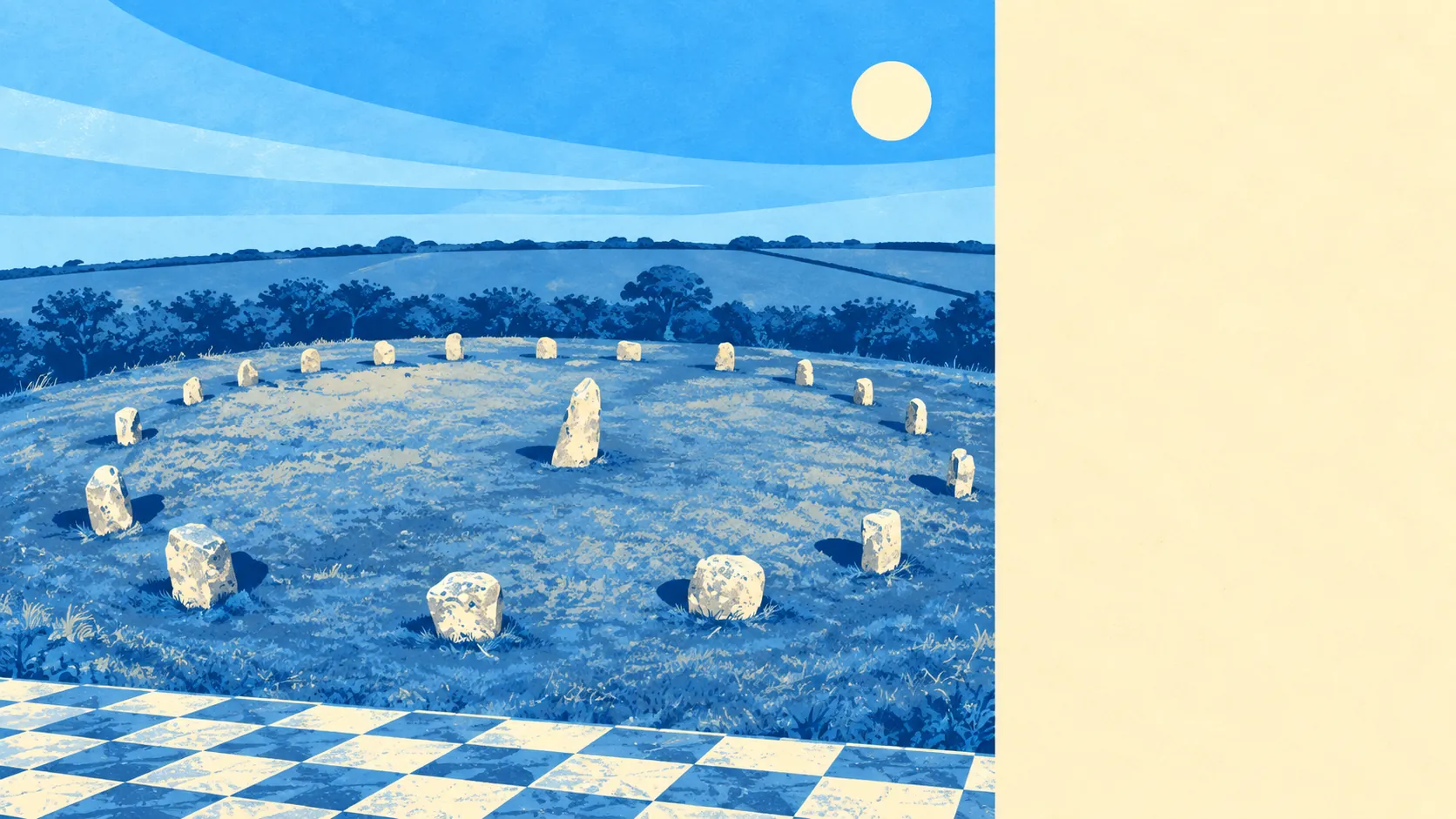
The character comes from what is scattered across the fields. The Merry Maidens stone circle sits south of the village, Boscawen-Un a mile north, and there are wayside crosses, standing stones, entrance graves and barrows in almost every direction, including the Blind Fiddler and the two stones known as the Pipers. Carn Brea rises at the northern edge of the parish and is often called the first hill in Cornwall. Nearby, Crows-an-Wra, Drift, Treen, Trethewey and Porthcurno make up the settlement pattern, and the Minack Theatre, Land's End and Sennen Cove pull the visitors. The village itself is a plateau, a church tower and lanes running off it.
Private outdoor space is where the numbers get silly. Gardens work out at roughly 387,000 square metres per thousand residents, which is the measure that matters, because it describes what people actually have behind their own houses rather than how much of the map is farmland. Small courtyard living is not the norm here.
Within the village area specifically, the valuation list records 20 rateable premises in total. The largest single category holds 6 of them, the next 2, and the remainder sit at one each. These are premises on the rating list rather than businesses currently trading, so the list describes the building stock available for commercial use, not a high street.
For eating out, 5 premises in the area hold a food hygiene rating and about 80% of them are at the top score, with none at the bottom of the scale. A small sample, but a clean one.
One honest absence: no area of outstanding natural beauty, no site of special scientific interest and no ancient woodland overlaps this area. The landscape here is protected by being farmed and by the conservation area over the village rather than by a national designation, which does not make it any less good to walk in.
The surroundings are the best thing about St Buryan by a distance: green space at the doorstep, water within a short walk, generous private gardens and four thousand years of standing stones between here and the sea.