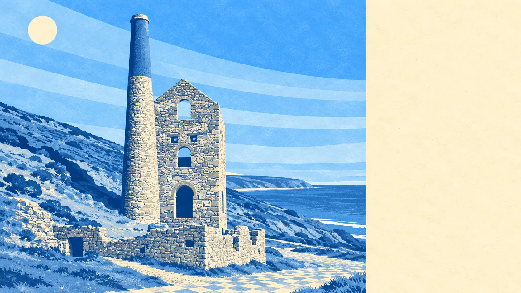
Cliff, heath and the wreckage of an industry, which turns out to be a superb combination. Green space begins a few hundred metres from the average front door. Water is closer than most people's nearest shop. The village itself is small and the coast around it very much isn't. Everything that gets photographed here was somebody's workplace first.
For public green space, the average postcode has about seven sites within a kilometre, with the nearest roughly 320 metres away. In a parish where the open ground includes St Agnes Beacon and the heathland running along the cliff tops, that figure understates the experience. The National Trust holds much of the coastal land, so the space is not just close but reliably open.
Water is nearer still. The typical postcode sits around 345 metres from blue space, with about 17 bodies of water within a kilometre. That is a consequence of geography rather than planning: the parish runs down to Trevaunance Cove, Chapel Porth and Trevellas Porth, and the valleys between them carry streams that once drove the stamps and now just make noise.
Cycling is the one outdoor thing the area does not hand you. The National Cycle Network sits roughly five kilometres away on average, and no postcodes here count as close to it. There is no ancient woodland recorded in the area either, which is unsurprising on ground that spent several centuries being dug up rather than left alone.
The commercial side is small and specific. The rating list carries 36 shop premises, six pubs and three restaurants, which is a village high street rather than a town centre, and it is enough to keep people from driving out for a pint of milk. Forty-five food premises hold a current hygiene rating, 78% of them at the top score and none at the bottom.
On air, the Cornwall council area recorded fine-particle levels of about 5 micrograms per cubic metre in 2024. That is a council-wide figure rather than a village one.
What the area feels like is a working parish that stopped working and kept the buildings. The old engine houses at Wheal Coates stand on the cliff because nobody could think of a reason to remove them. Bolster Bank and St Piran's Round are older still. Around the edges sit Mithian and Mingoose inland, Blackwater and Mount Hawke to the south, Porthtowan and Perranporth along the coast, each with their own beach, their own parking problem and their own opinion about which is best.
Private outdoor space is genuinely generous, which the public green space figures never tell you. Across the four small areas measured, gardens amount to roughly 311,000 square metres for every 1,000 residents. In practice that means detached houses and bungalows with room behind them, not courtyards with a bin store and ambitions.
The wider business picture from the valuation list runs to 365 rateable premises, and the largest single category by some distance is self-catering and holiday accommodation at 169 entries, ahead of 36 shops and 20 offices. These are premises on a list rather than shops currently trading, but the shape is unmistakable: a small resident economy with a very large visitor economy bolted on to it, which is the reason the place has two distinct personalities depending on the month.
On formal landscape protection, the area's postcodes record no overlap with an area of outstanding natural beauty, no site of special scientific interest and no ancient woodland. That is a fact about where the boundaries fall rather than a comment on the scenery, and it is worth knowing: what protects the character here is the listing of the buildings, the conservation areas and land in Trust ownership, not a designation drawn across the postcodes.
The surroundings are the best argument St Agnes makes for itself. Coast, heath and open ground on the doorstep, gardens worth having behind the houses, and a village small enough that none of it takes any effort to reach.