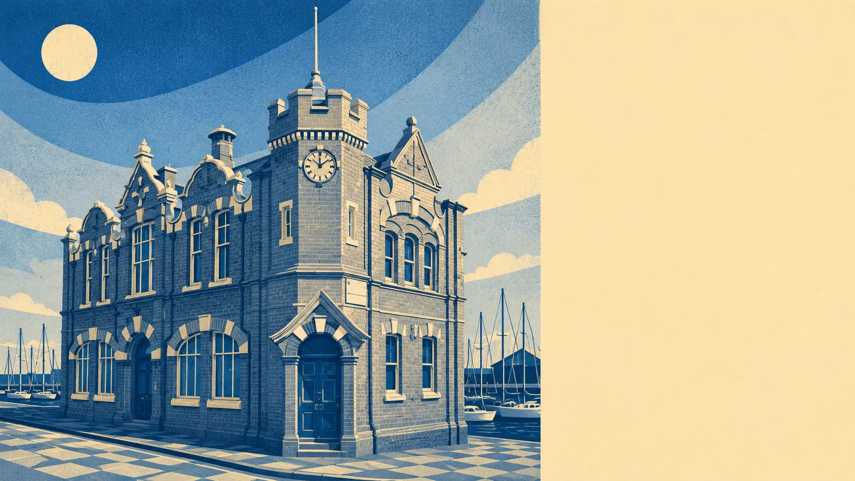
The area around Southwick is what a good south-coast setting looks like when nothing gets designated to death. Green space sits nearly on the doorstep at around 108 metres from the average postcode. Around 32 patches of green space lie within a kilometre. Water is not much further out at about 660 metres, because the Channel is a short walk from most streets. Nothing here falls inside an Area of Outstanding Natural Beauty, a Site of Special Scientific Interest or ancient woodland, so this is a coast where the landscape is easy to reach rather than protected from you reaching it.
Green access is where the setting quietly scores. The average Southwick postcode sits about 108 metres from a piece of usable green space, with roughly 32 patches within a kilometre of most homes. That is a density which means the local park, the pocket green and the recreation ground are all within a comfortable walk. Water access sits a little further out at about 660 metres to the average blue-space feature, but this is coast country: the sea and the harbour are close, and the National Cycle Network runs an average of around 650 metres from the typical postcode, with roughly four in ten postcodes classed as close to it.
The character of the surrounding area is a working-coast character that has resisted becoming a resort. Immediate neighbours run along the coastal strip: Portslade-by-Sea and Aldrington to the east, Kingston by Sea and Shoreham-by-Sea to the west, with Shoreham Beach on the seaward side of the harbour and Southern Cross as one of the smaller settlements folded into the coastal fabric. Inland climb takes you to Mile Oak, Portslade Village and West Blatchington, where the downs interrupt the coastal plain and the character shifts from Victorian-and-Sixties street pattern to older village fabric. Anchors of visible interest include West Blatchington Windmill, the Marlipins Museum on the Shoreham side, and Hangleton Manor Inn as one of the older surviving buildings on the coastal plain. Two scheduled monuments sit within the town's boundary, and further monuments across the surrounding land signal a coast that was worked before it was built on: Romano-British villa remains under Manor Hall Road, a shrunken medieval settlement at Old Erringham, and Iron Age earthworks on Thundersbarrow Hill sit within reach across the wider landscape. Just under a quarter of Southwick's postcodes sit within 500 metres of the sea, and the minimum distance falls as low as 15 metres in places, so the coast is not somewhere you drive to on a Sunday. It is something on the daily walk.
Five out of five is the honest verdict on the surrounding area. Green within walking distance, coast on your doorstep, downs behind you, and none of the restrictive designations that turn some picturesque coasts into places you cannot alter without a heritage lawyer. What Southwick lacks in headline landscape it makes up for with landscape you can actually get to and use, which for most residents is the more useful of the two.