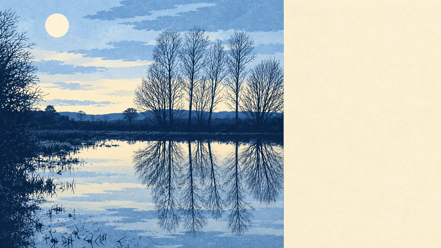
It's proper countryside, with the restaurant scene of a place that expects you to cook. Green space is a few minutes' walk from most doors. There's water closer still. The Surrey Hills are on the edge of the map. It's for walking in, not for going out in.
The nearest public green space is about 400 metres away on average, and around 6 green spaces lie within a kilometre of the typical home. That's the kind of access that turns a dog from a commitment into a habit. It covers commons, parks and paths, the everyday stuff you use when you can't face the car.
Water is closer than the grass. The nearest lake, pond or river averages about 310 metres from home, and there are around 16 bodies of water within a kilometre. Mercers Country Park, the watersports and picnic spot in Nutfield, is the obvious one. For somewhere this far inland, the area is surprisingly wet, and mostly in the pleasant sense.
The National Cycle Network is about 1,470 metres from the average home, and only about 12% of postcodes are close to it. Cycling here mostly happens on the lanes, and the traffic on them doesn't expect you.
The rated-premises count across the wider local postcode areas finds 286 shops, 33 pubs and only 7 restaurants. Thirty-three pubs against 7 restaurants tells you how the area likes to eat out: a pint and whatever's on the board, not a tasting menu.
For air quality, Tandridge as a whole averaged about 7 micrograms per cubic metre of fine particles in 2024. That's a council-area figure, not a reading from any particular street.
The Surrey Hills Area of Outstanding Natural Beauty takes in about 7% of the area. It's a protected landscape on the doorstep that most homes sit just outside, which gives you the view without the planning restrictions.
What makes the area is the ground. Bletchingley sits on the Greensand Ridge, with the Greensand Way running along it and a conservation area of medieval buildings. Nutfield sits in the Weald just below. The old names stay in the landscape: Lower Gatton Park, the Outwood post mill, the hillfort at War Coppice Camp and the moated site at Lagham Manor. Every generation that farmed, fortified or drained this stretch left something behind.
Private gardens are generous. The Office for National Statistics' garden measure puts private garden space at about 324,000 square metres per 1,000 residents, which is suburban-plus by any standard. Most homes here have room for a lawn and an argument about who mows it.
On the valuation list there are 273 rateable non-domestic premises in the area. The biggest single group is offices, at 95, followed by industrial and workshop units, with 13 shops and a similar number of warehouses. Those are premises on a list, not a guide to what's open on a Tuesday. It's a working rural economy, not a high street.
Eating out, when you do, is reliable. Of the 37 food premises with a hygiene rating, about 89% hold the top score of five, and none is rated low. The kitchens are clean even if there aren't many of them.
The area has no site of special scientific interest and no ancient woodland within it. Its landscape value is the everyday kind, fields, ridge, lakes and footpaths, not the kind with a designation and a car park.
The surroundings are the best reason to live here. Green space and water are on the doorstep, the ridge and the Weald are all around, and you'll be out walking long before you run out of footpaths.