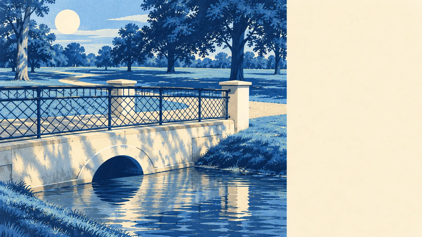
The area around Slough is much greener than its reputation. Most homes have a park a short walk away. Canals, rivers and lakes are never far off. The woods and parkland begin where the houses end. Outsiders picture a grey town, and the map shows a green one.
On average, the nearest public green space is about 170 metres from a Slough home, and about 23 green spaces lie within a kilometre. Herschel Park, which was called Upton Park until 1949 and was relandscaped in 2009, is the town's showpiece. Langley Park, Ditton Park and Stoke Park add historic parkland at the edges. Slough also bred a garden flower. John Sinkins, master of the Eton Union Workhouse in Slough, raised the dianthus "Mrs Sinkins Pink" some time between 1868 and 1883, so the town has some history with gardens.
Water is close too. The nearest river, canal, lake or pond is about 490 metres away on average, and about 20 water bodies lie within a kilometre. The Jubilee River runs along the southern edge, between the town and Eton, and the Slough Arm of the Grand Union Canal ends in a basin at Stoke Road. The canal fell out of use in 1960 and was reopened to boats in 1975, one of the few old things in Slough that was brought back instead of being knocked down.
The National Cycle Network is about 720 metres away on average, and about 54% of postcodes are close to a route. There is no ancient woodland inside the area itself. For woodland, people head to Burnham Beeches, just beyond the town.
The high street and the trading estates between them account for 1,564 shops, 122 pubs and 93 restaurants on the property records, plus 1,612 offices. There are more offices than shops, which fits a town that has spent the last few decades swapping factories for office blocks.
Across the Slough council area, fine-particle air pollution averaged about 8 micrograms per cubic metre in 2024. That is a council-wide figure, so it covers the trading estate and the parks alike.
The town is made of the villages it swallowed. Chalvey, Cippenham, Upton, Langley, Colnbrook and Wexham each kept a church or a green, while Burnham, Farnham Royal, Stoke Poges and Datchet are separate places just over the boundary. Windsor is a short hop to the south, with its Home Park and Frogmore Gardens. Slough is a working town with a ring of old villages and royal parkland around it, which is how a place so often written off as ugly ends up with so much green space.
Private gardens add to it. Across the area there are about 70,500 square metres of garden for every 1,000 residents, which reflects how much of Slough is post-war semis and terraces with gardens front and back. The flats near the centre have far less, but most family houses here come with a garden of their own.
The council's rating list holds 3,334 non-domestic premises. That counts every rateable property on the valuation list, including empty ones, so it shows what has been built and not how many businesses are trading. Shops and offices make up most of the list.
Of 766 food outlets with a hygiene rating, about 60% have the top score of five and about 4% sit at the bottom of the scale. Most places are safe to eat in, and a quick check of the rating is enough for the rest.
No protected landscape designation overlaps the area. There is no area of outstanding natural beauty, no site of special scientific interest and no ancient woodland inside the boundary. Slough's green space is mostly parks, playing fields and gardens, made for people to use. For protected countryside, Burnham Beeches is close by.
The area around Slough is one of its real strengths. The parks, water and countryside are close enough to make up for a town centre that few people would choose for its looks.